MyTopo
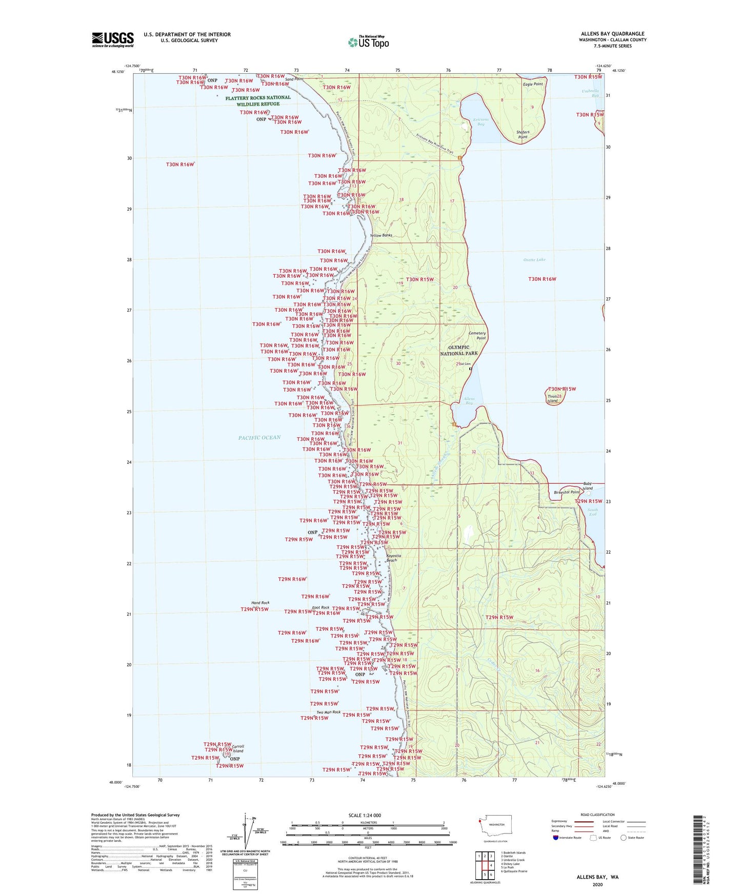
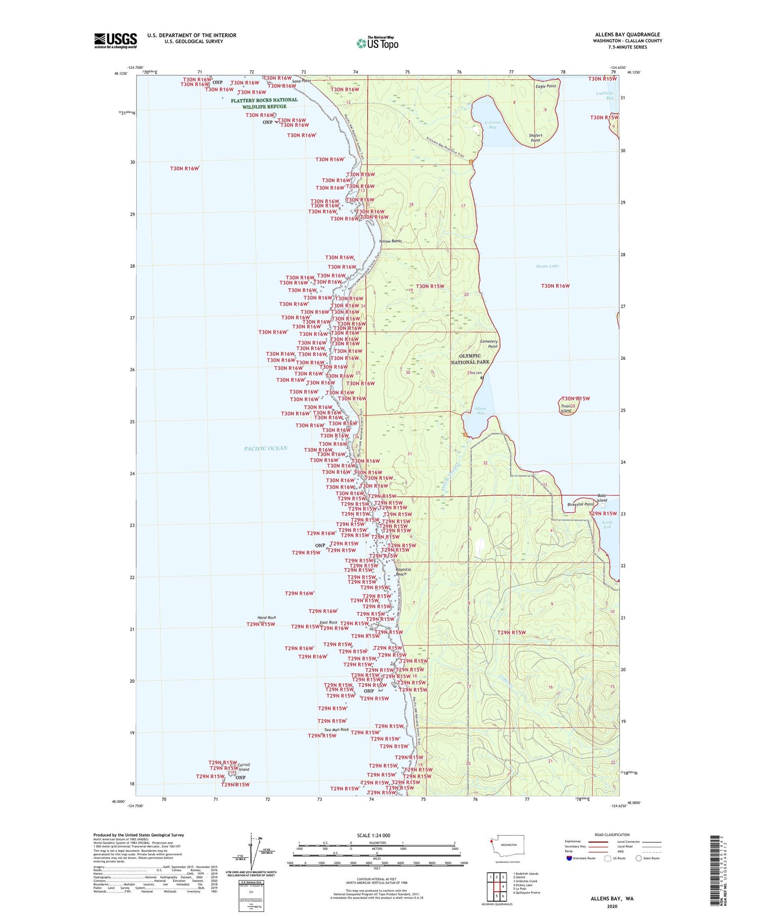
Allens Bay Washington US Topo Map
Couldn't load pickup availability
2020 topographic map quadrangle Allens Bay in the state of Washington. Scale: 1:24000. Based on the newly updated USGS 7.5' US Topo map series, this map is in the following counties: Clallam. The map contains contour data, water features, and other items you are used to seeing on USGS maps, but also has updated roads and other features. This is the next generation of topographic maps. Printed on high-quality waterproof paper with UV fade-resistant inks.
Quads adjacent to this one:
Northwest: Bodelteh Islands
North: Ozette
Northeast: Umbrella Creek
East: Dickey Lake
Southeast: Quillayute Prairie
South: La Push
Contains the following named places: Allens Bay, Allens Bay Trail, Allens Slough, Baby Island, Birkestol Point, Carroll Island, Cedar Creek, Cemetery Point, Eagle Point, Ericksons Bay Campground, Ericsons Bay, Foot Rock, Hand Rock, Jersted Point, Kayostia Beach, Norwegian Memorial, Old Cemetery, Ozette Lake, Shafers Point, South End, South Sand Point Trail, Starbuck Mine, Tivoli Island, Two Man Rock, Umbrella Point, Wish Creek, Yellow Banks