MyTopo
Umbrella Creek Washington US Topo Map
Couldn't load pickup availability
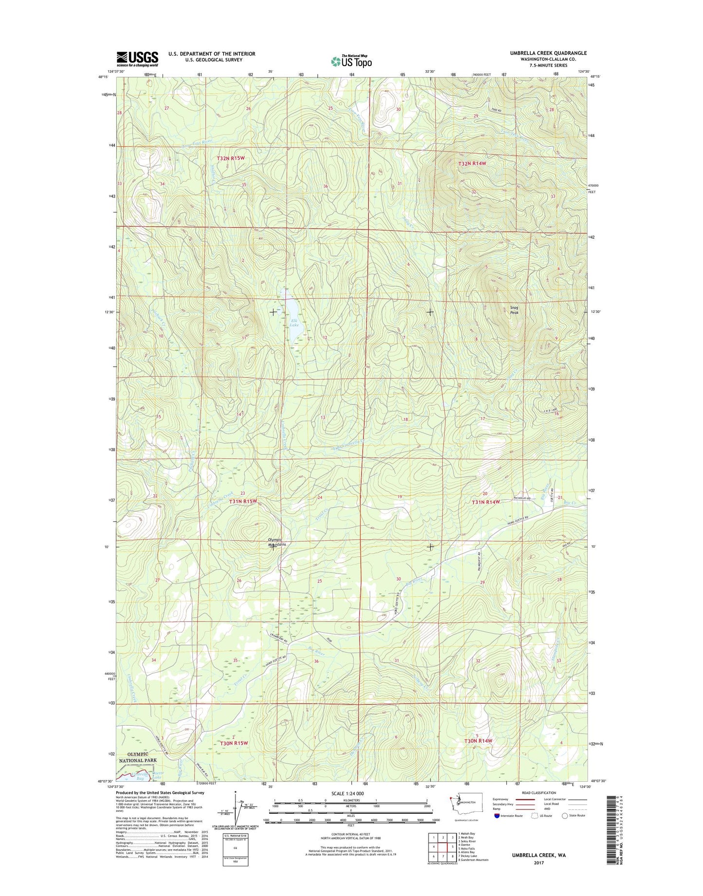
2023 topographic map quadrangle Umbrella Creek in the state of Washington. Scale: 1:24000. Based on the newly updated USGS 7.5' US Topo map series, this map is in the following counties: Clallam. The map contains contour data, water features, and other items you are used to seeing on USGS maps, but also has updated roads and other features. This is the next generation of topographic maps. Printed on high-quality waterproof paper with UV fade-resistant inks.
Quads adjacent to this one:
West: Ozette
Northwest: Makah Bay
North: Neah Bay
Northeast: Sekiu River
East: Hoko Falls
Southeast: Gunderson Mountain
South: Dickey Lake
Southwest: Allens Bay
This map covers the same area as the classic USGS quad with code o48124b5.
Contains the following named places: Boe Creek, Dunham Creek, East Branch Umbrella Creek, Elk Lake, Iverson Ranch, Person Ranch, Royal, Royal School, Shafter Creek, Snag Creek, Snag Peak, Solberg Creek, Trout Creek, Wesseler Ranch