MyTopo
Badger Gap Washington US Topo Map
Couldn't load pickup availability
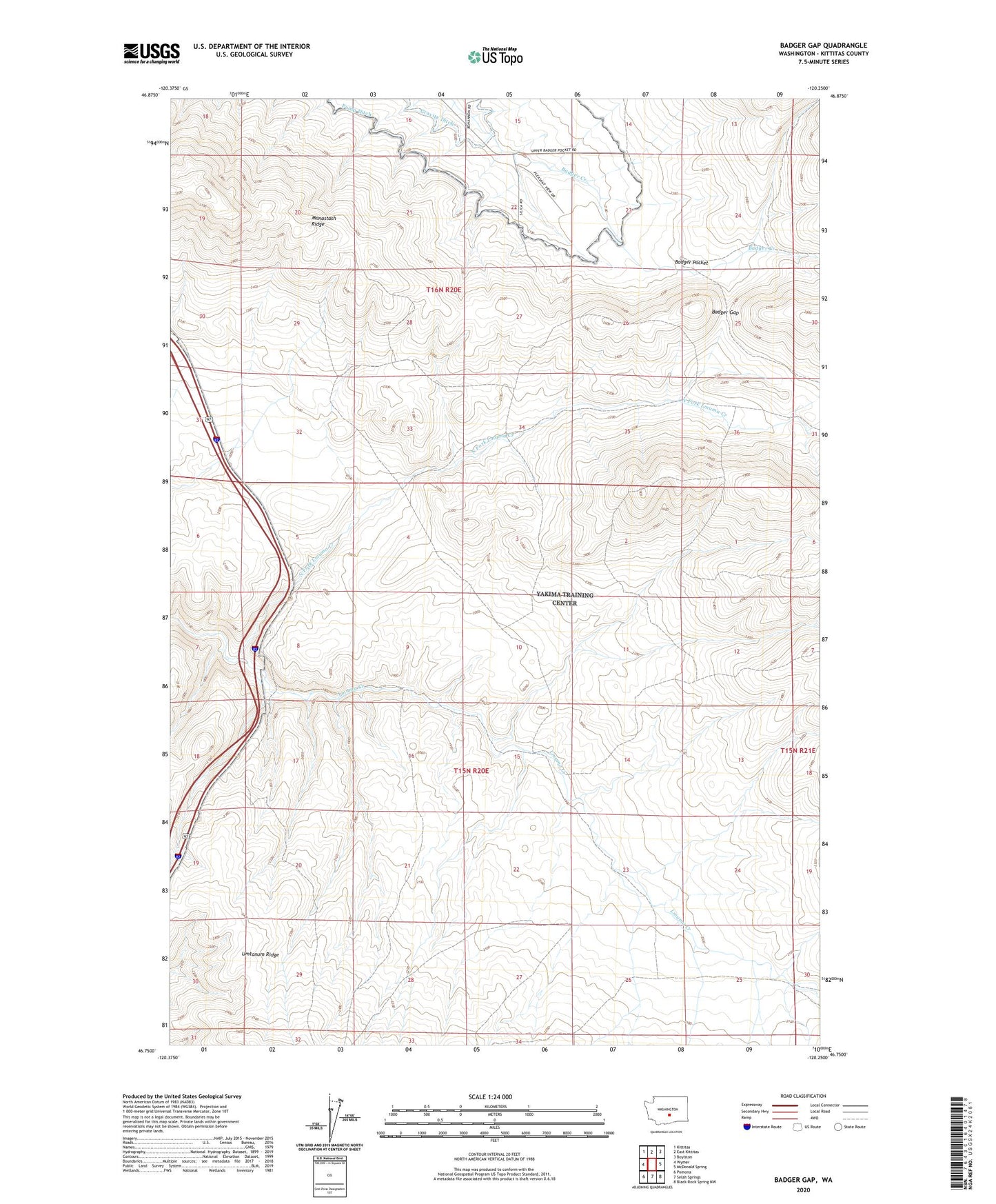
2023 topographic map quadrangle Badger Gap in the state of Washington. Scale: 1:24000. Based on the newly updated USGS 7.5' US Topo map series, this map is in the following counties: Kittitas. The map contains contour data, water features, and other items you are used to seeing on USGS maps, but also has updated roads and other features. This is the next generation of topographic maps. Printed on high-quality waterproof paper with UV fade-resistant inks.
Quads adjacent to this one:
West: Wymer
Northwest: Kittitas
North: East Kittitas
Northeast: Boylston
East: McDonald Spring
Southeast: Black Rock Spring NW
South: Selah Springs
Southwest: Pomona
This map covers the same area as the classic USGS quad with code o46120g3.
Contains the following named places: Badger Gap, Manastash Ridge, North Fork Lmuma Creek