MyTopo
Bodie Washington US Topo Map
Couldn't load pickup availability
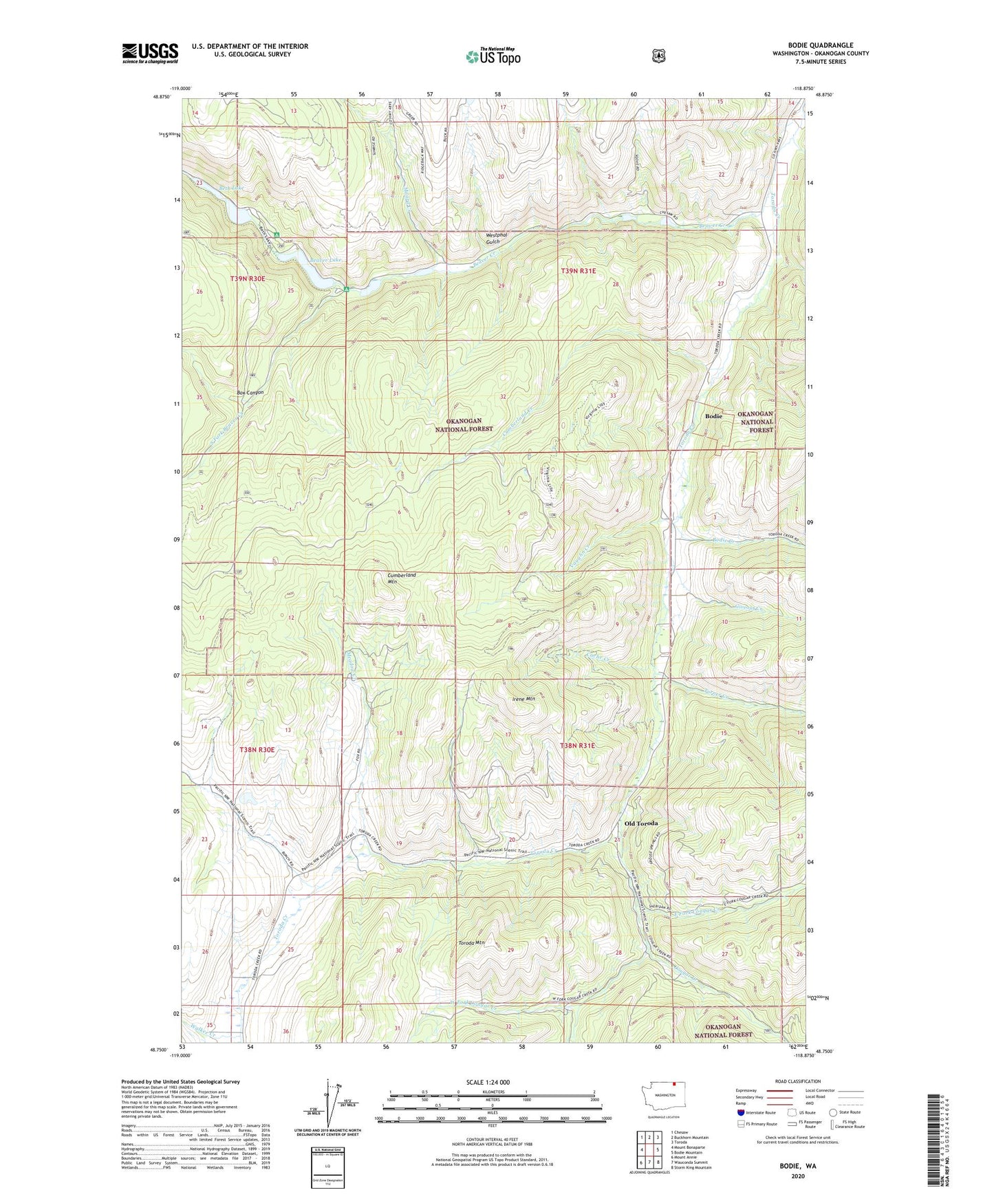
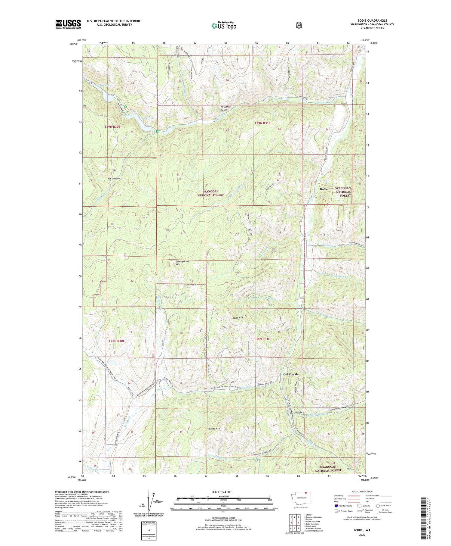
2020 topographic map quadrangle Bodie in the state of Washington. Scale: 1:24000. Based on the newly updated USGS 7.5' US Topo map series, this map is in the following counties: Okanogan. The map contains contour data, water features, and other items you are used to seeing on USGS maps, but also has updated roads and other features. This is the next generation of topographic maps. Printed on high-quality waterproof paper with UV fade-resistant inks.
Quads adjacent to this one:
West: Mount Bonaparte
Northwest: Chesaw
North: Buckhorn Mountain
Northeast: Toroda
East: Bodie Mountain
Southeast: Storm King Mountain
South: Wauconda Summit
Southwest: Mount Annie
Contains the following named places: Atchison Mill, Beaver Creek, Beaver Lake, Beaver Lake Campground, Beth Lake, Beth Lake Campground, Beth Lake Dam, Bodie, Bodie Creek, Box Canyon, Cache Creek, Cougar Creek, Cumberland Creek, Cumberland Mountain, East Fork Cougar Creek, Giveout Creek, Harvey Creek, Irene Mountain, Meadow Creek, Millard Creek, North Fork Beaver Creek, Old Toroda, South Fork Beaver Creek, Toroda Mountain, Turner Creek, Vaughn Creek, Walker Creek, Wauconda Quarry, West Fork Cougar Creek, Westphal Gulch, ZIP Code: 98859