MyTopo
Boundary Mountain Washington US Topo Map
Couldn't load pickup availability
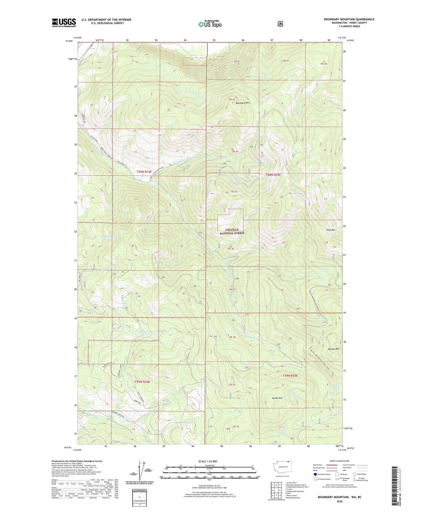
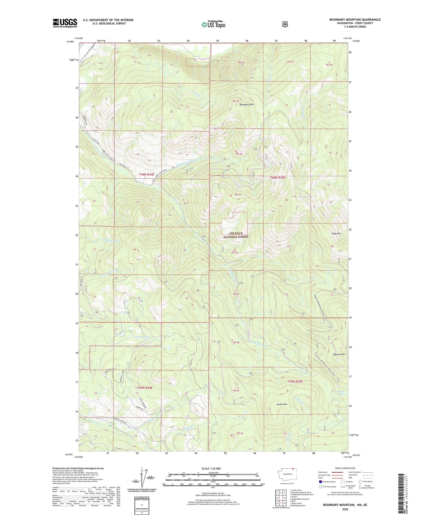
2020 topographic map quadrangle Boundary Mountain in the state of Washington. Scale: 1:24000. Based on the newly updated USGS 7.5' US Topo map series, this map is in the following counties: Ferry. The map contains contour data, water features, and other items you are used to seeing on USGS maps, but also has updated roads and other features. This is the next generation of topographic maps. Printed on high-quality waterproof paper with UV fade-resistant inks.
Quads adjacent to this one:
West: Curlew
Northwest: Curlew OE N
North: Boundary Mountain OE N
Northeast: Independent Mountain OE N
East: Independent Mountain
Southeast: Bulldog Mountain
South: Mount Leona
Southwest: Malo
Contains the following named places: Boundary Mountain, First Creek, Marble Mountain, Noonday Spring, North Creek, North Fork Lone Ranch Creek, Rocky Mountain, Second Creek, ZIP Code: 99121