MyTopo
Chapman Lake Washington US Topo Map
Couldn't load pickup availability
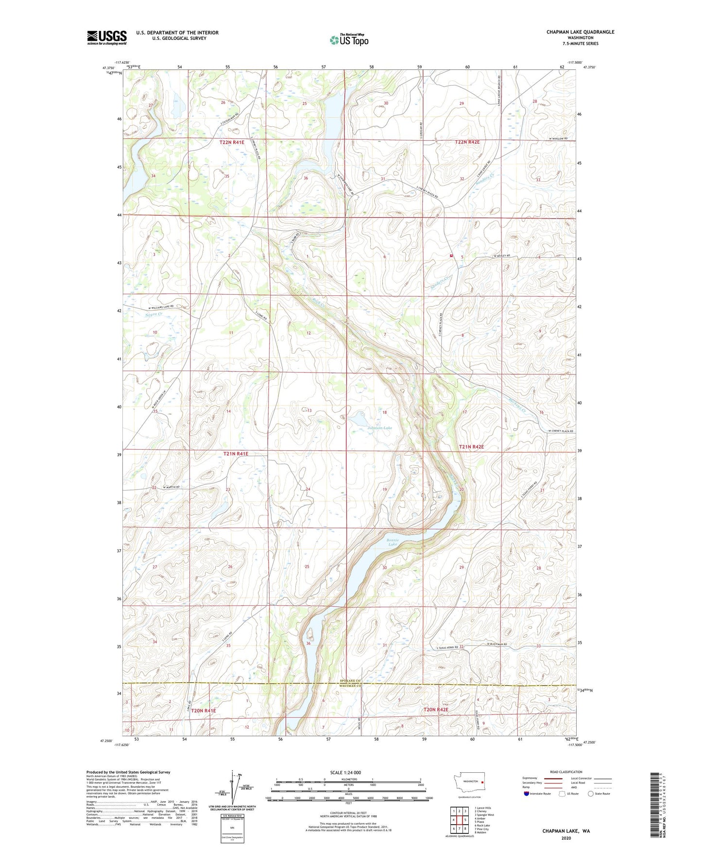
2020 topographic map quadrangle Chapman Lake in the state of Washington. Scale: 1:24000. Based on the newly updated USGS 7.5' US Topo map series, this map is in the following counties: Spokane, Whitman. The map contains contour data, water features, and other items you are used to seeing on USGS maps, but also has updated roads and other features. This is the next generation of topographic maps. Printed on high-quality waterproof paper with UV fade-resistant inks.
Quads adjacent to this one:
West: Amber
Northwest: Lance Hills
North: Cheney
Northeast: Spangle West
East: Plaza
Southeast: Malden
South: Pine City
Southwest: Rock Lake
Contains the following named places: Bonnie Lake, Buckeye Creek, Captain J Mullen Historical Monument, Chapman Lake, Chapman Lake Dam, Chapman Lake Saddle Dam, Cherry Springs School, Johnson Lake, Sanders Creek, Spokane County Fire District 3 Station 39 - Chapman Lake