MyTopo
Chelan Washington US Topo Map
Couldn't load pickup availability
Also explore the Chelan Forest Service Topo of this same quad for updated USFS data
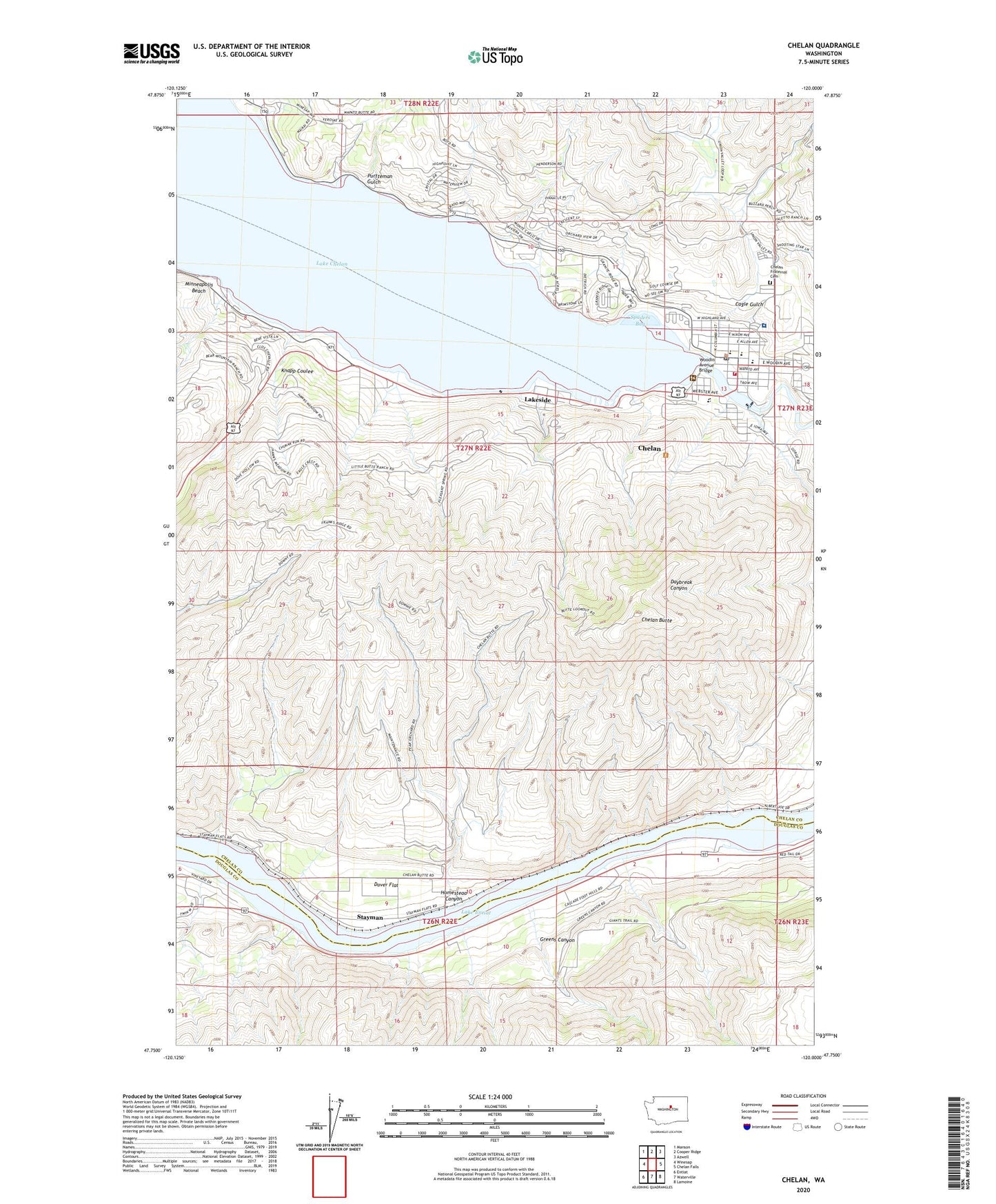
2023 topographic map quadrangle Chelan in the state of Washington. Scale: 1:24000. Based on the newly updated USGS 7.5' US Topo map series, this map is in the following counties: Chelan, Douglas. The map contains contour data, water features, and other items you are used to seeing on USGS maps, but also has updated roads and other features. This is the next generation of topographic maps. Printed on high-quality waterproof paper with UV fade-resistant inks.
Quads adjacent to this one:
West: Winesap
Northwest: Manson
North: Cooper Ridge
Northeast: Azwell
East: Chelan Falls
Southeast: Lamoine
South: Waterville
Southwest: Entiat
This map covers the same area as the classic USGS quad with code o47120g1.
Contains the following named places: Bear Mountain Ranch Golf Course, Berean Baptist Church, Cagle Gulch, Chelan, Chelan Butte, Chelan Butte State Wildlife Area, Chelan Church of the Nazarene, Chelan County Fire Protection District 7, Chelan County Park, Chelan Ferry Landing, Chelan Fraternal Cemetery, Chelan High School, Chelan Middle School, Chelan Police Department, Chelan Post Office, Chelan Prepatory High School, Chelan Ranger Station, Chelan River Boat Launch, Chelan Riverwalk Park, Chelan Seventh Day Adventist Church, City of Chelan, Darnells, Dover Flat, Glacier Valley High School, Greens Canyon, Homestead Canyon, Kingdom Hall of Jehovahs Witnesses, KOZI-AM (Chelan), Lady of the Lake Commercial Dock, Lake Chelan Community Hospital, Lake Chelan Dam, Lake Chelan Golf Course, Lake Chelan Hills, Lake Chelan Lutheran Church, Lake Chelan United Methodist Church, Lake Chelan Valley Emergency Medical Services, Lakeshore Park, Lakeside, Lakeside City Park, Little Stone Church, McLeans Orchard, Minneapolis Beach, Morgen Owings Elementary School, Purtteman Gulch, Regency Manor, Saint Andrew's Episcopal Church, Saint Francis Catholic Church, Spaders Bay, Stayman, The Church of Jesus Christ of Latter Day Saints, Woodin Avenue Bridge, ZIP Code: 98843


