MyTopo
Chief Joseph Dam Washington US Topo Map
Couldn't load pickup availability
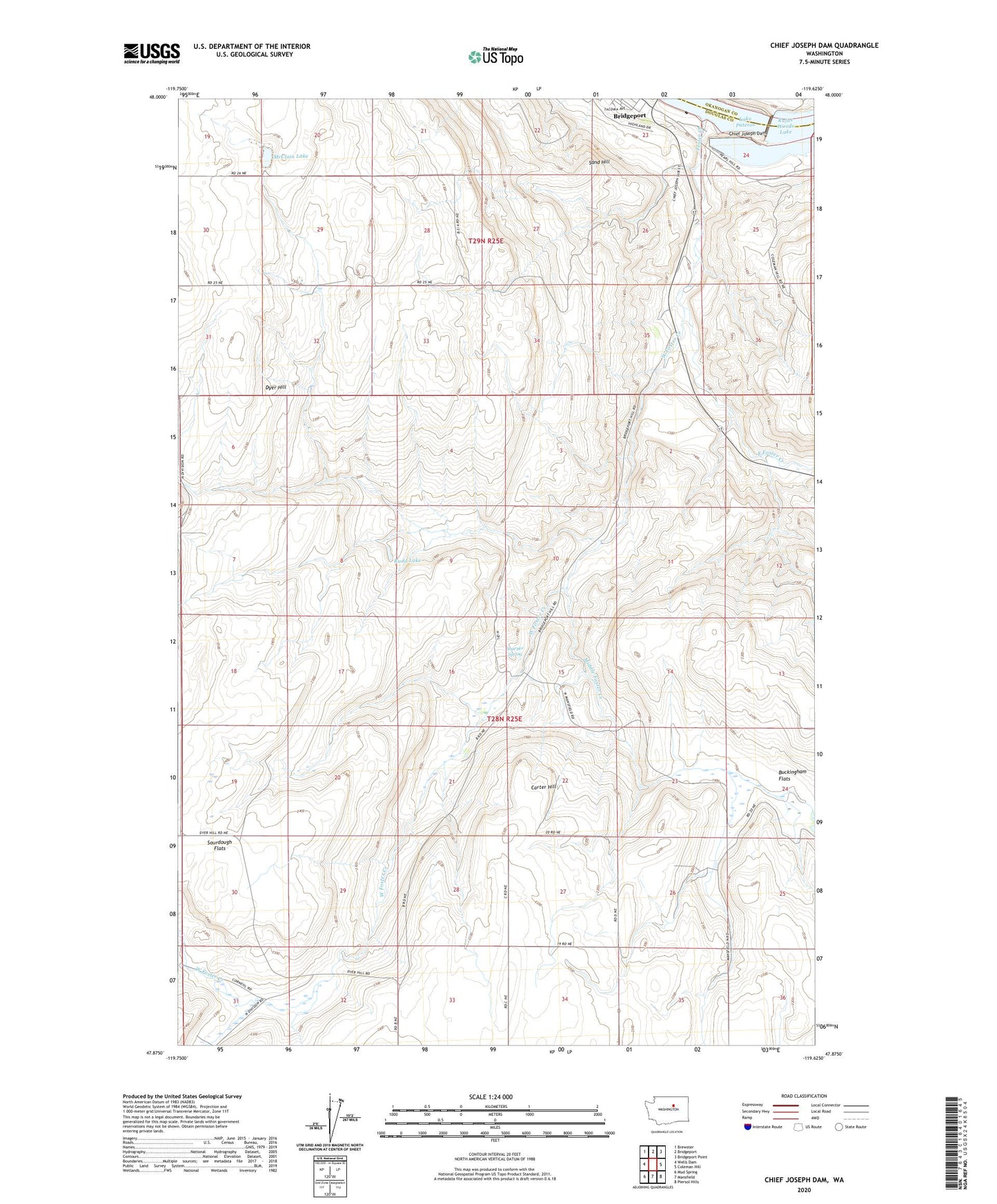
2023 topographic map quadrangle Chief Joseph Dam in the state of Washington. Scale: 1:24000. Based on the newly updated USGS 7.5' US Topo map series, this map is in the following counties: Douglas, Okanogan. The map contains contour data, water features, and other items you are used to seeing on USGS maps, but also has updated roads and other features. This is the next generation of topographic maps. Printed on high-quality waterproof paper with UV fade-resistant inks.
Quads adjacent to this one:
West: Wells Dam
Northwest: Brewster
North: Bridgeport
Northeast: Bridgeport Point
East: Coleman Hill
Southeast: Piersol Hills
South: Mansfield
Southwest: Mud Spring
This map covers the same area as the classic USGS quad with code o47119h6.
Contains the following named places: Buckingham Flats, Carter Hill, Chapman Draw, Chief Joseph Dam, Collins Canyon, East Foster Creek, Foster Creek, Foster Creek Wildlife Recreation Area, Fye Draw, McClain Lake, Middle Foster Creek, Peaceful Valley, Rudd Lake, Sand Hill, Sharyer Spring, Smith Draw, West Foster Creek