MyTopo
Piersol Hills Washington US Topo Map
Couldn't load pickup availability
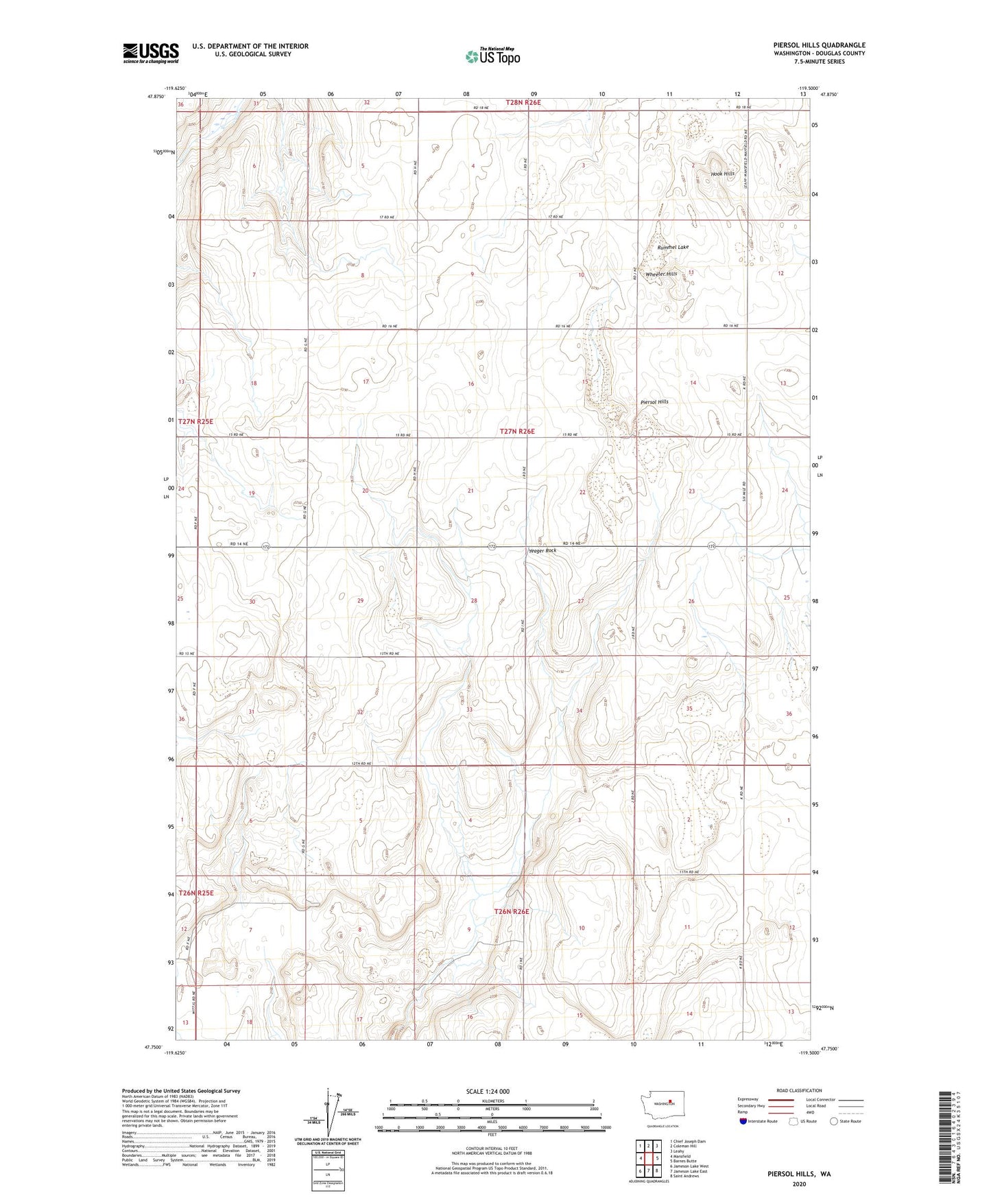
2023 topographic map quadrangle Piersol Hills in the state of Washington. Scale: 1:24000. Based on the newly updated USGS 7.5' US Topo map series, this map is in the following counties: Douglas. The map contains contour data, water features, and other items you are used to seeing on USGS maps, but also has updated roads and other features. This is the next generation of topographic maps. Printed on high-quality waterproof paper with UV fade-resistant inks.
Quads adjacent to this one:
West: Mansfield
Northwest: Chief Joseph Dam
North: Coleman Hill
Northeast: Leahy
East: Barnes Butte
Southeast: Saint Andrews
South: Jameson Lake East
Southwest: Jameson Lake West
This map covers the same area as the classic USGS quad with code o47119g5.
Contains the following named places: Badger Wells, Buckingham Grove, Fairview, Fairview School, Hook Hills, Piersol Hills, Rummel Lake, Wheeler Hills, Yeager Rock