MyTopo
Connell SE Washington US Topo Map
Couldn't load pickup availability
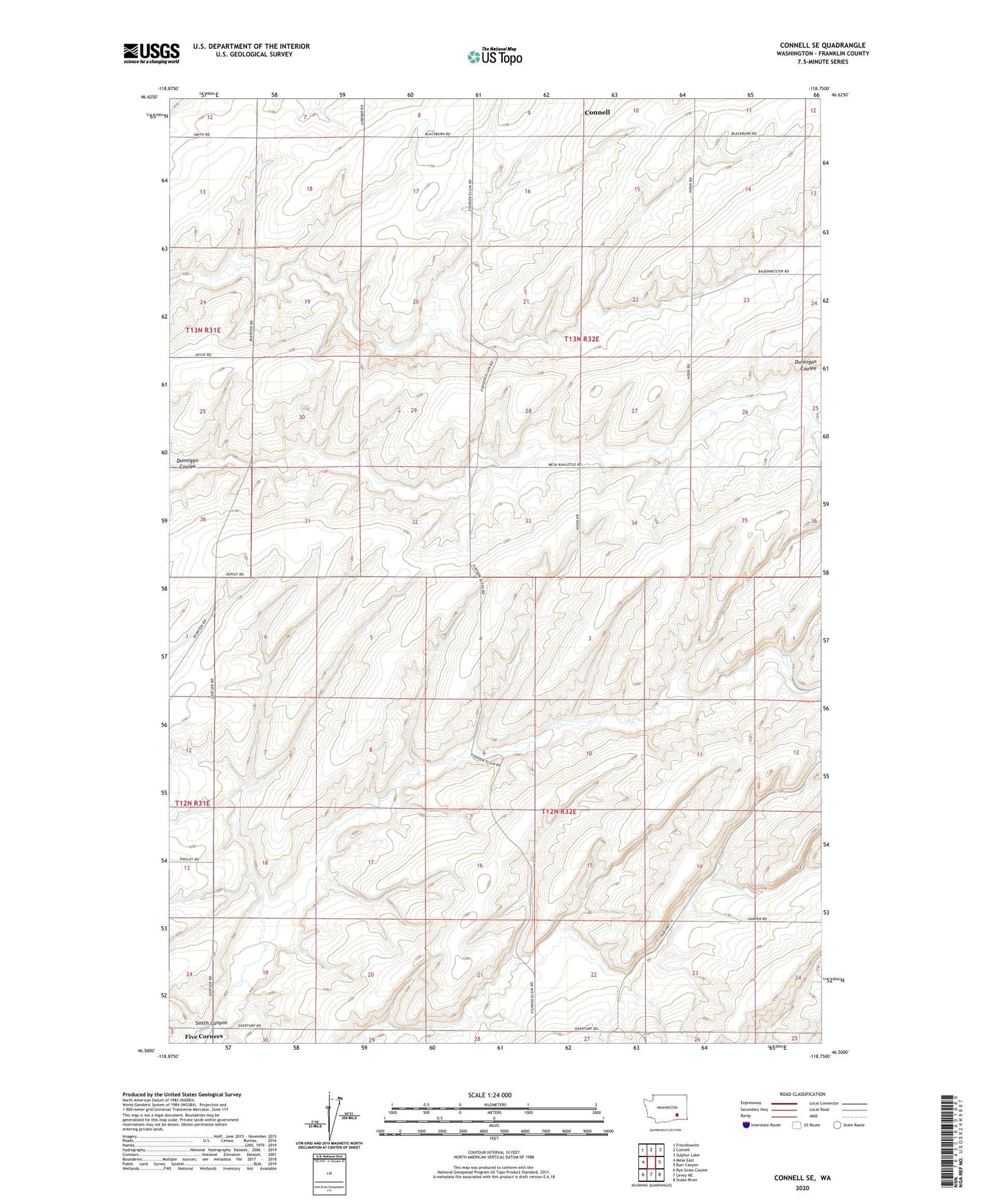
2023 topographic map quadrangle Connell SE in the state of Washington. Scale: 1:24000. Based on the newly updated USGS 7.5' US Topo map series, this map is in the following counties: Franklin. The map contains contour data, water features, and other items you are used to seeing on USGS maps, but also has updated roads and other features. This is the next generation of topographic maps. Printed on high-quality waterproof paper with UV fade-resistant inks.
Quads adjacent to this one:
West: Mesa East
Northwest: Frischknecht
North: Connell
Northeast: Sulphur Lake
East: Burr Canyon
Southeast: Snake River
South: Levey NE
Southwest: Rye Grass Coulee
This map covers the same area as the classic USGS quad with code o46118e7.
Contains the following named places: Drumheller, Five Corners