MyTopo
East of Raymond Washington US Topo Map
Couldn't load pickup availability
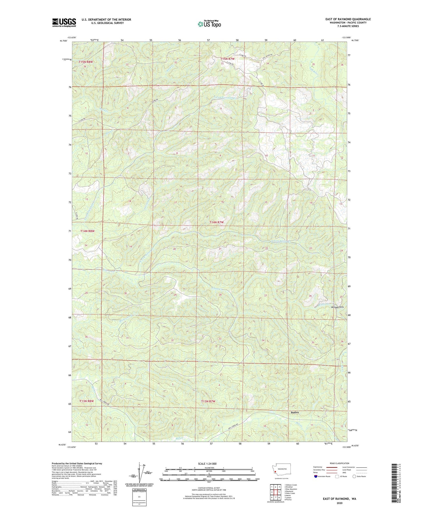
2020 topographic map quadrangle East of Raymond in the state of Washington. Scale: 1:24000. Based on the newly updated USGS 7.5' US Topo map series, this map is in the following counties: Pacific. The map contains contour data, water features, and other items you are used to seeing on USGS maps, but also has updated roads and other features. This is the next generation of topographic maps. Printed on high-quality waterproof paper with UV fade-resistant inks.
Quads adjacent to this one:
West: Raymond
Northwest: Elkhorn Creek
North: Brooklyn
Northeast: Blue Mountain
East: Dean Creek
Southeast: Pluvius
South: Lebam
Southwest: Menlo
Contains the following named places: Brown Creek, MacPhail, North Fork Fairchild Creek, North Fork Wilson Creek, Pack Sack Lookout, Sutico, Willapa Hills, ZIP Code: 98577