MyTopo
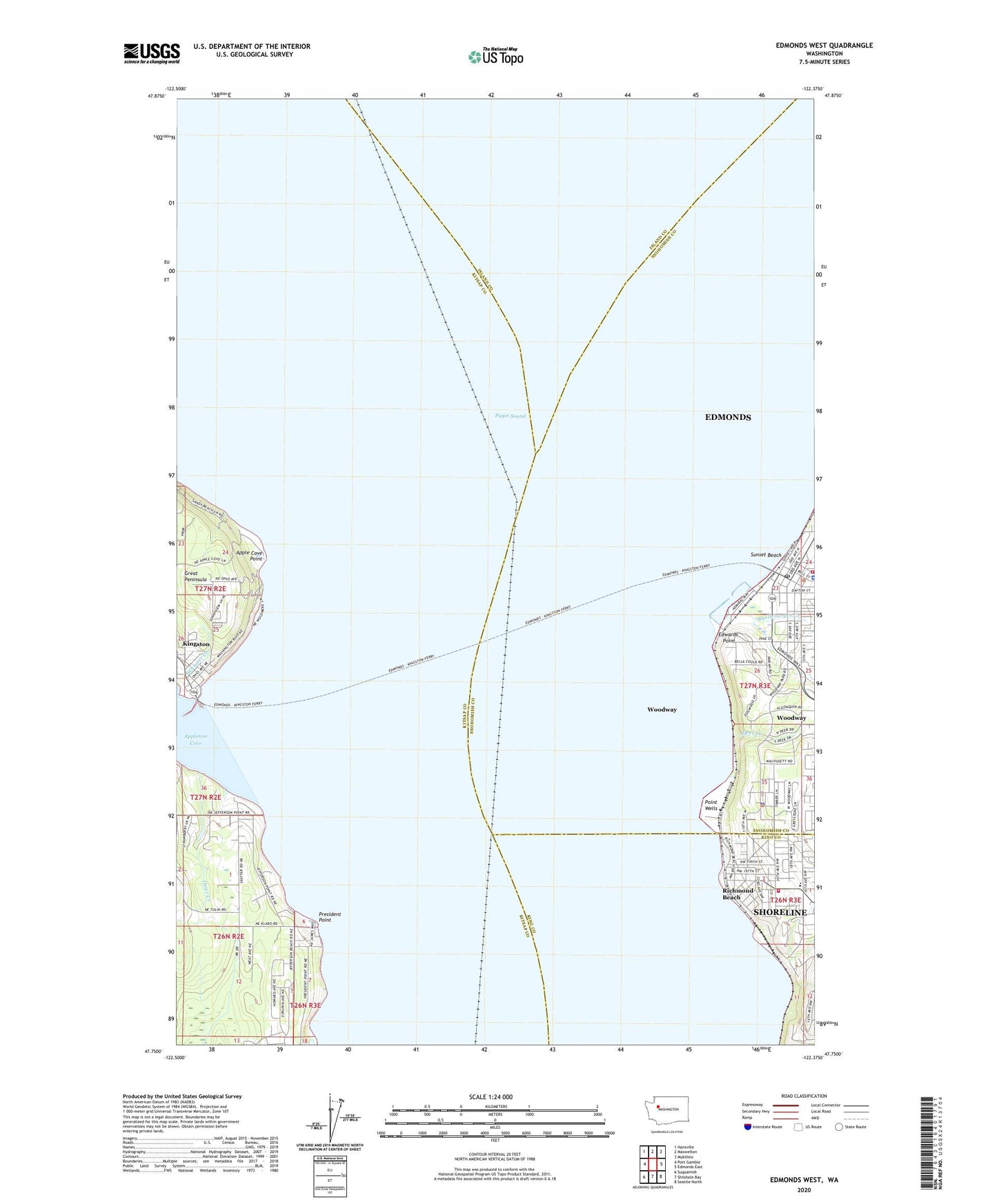
Edmonds West Washington US Topo Map
Couldn't load pickup availability
2023 topographic map quadrangle Edmonds West in the state of Washington. Scale: 1:24000. Based on the newly updated USGS 7.5' US Topo map series, this map is in the following counties: Snohomish, Kitsap, Island, King. The map contains contour data, water features, and other items you are used to seeing on USGS maps, but also has updated roads and other features. This is the next generation of topographic maps. Printed on high-quality waterproof paper with UV fade-resistant inks.
Quads adjacent to this one:
West: Port Gamble
Northwest: Hansville
North: Maxwelton
Northeast: Mukilteo
East: Edmonds East
Southeast: Seattle North
South: Shilshole Bay
Southwest: Suquamish
This map covers the same area as the classic USGS quad with code o47122g4.
Contains the following named places: Apple Cove Point, Apple Cove Point Light, Appletree Cove, Chevron Hill Tank Farm, City of Edmonds Fire Department Administration Office, City of Edmonds Fire Department Station 17, City of Edmonds Fire Marshal, City of Woodway, Deer Creek, Edmonds, Edmonds City Hall, Edmonds Courthouse, Edmonds Ferry Landing, Edmonds Historical Museum, Edmonds Junior High School, Edmonds Police Department, Edmonds Post Office, Edmonds Station, Edmonds Underwater Park, Edmonds Wastewater Treatment Plant, Edmonds Yacht Club, Edwards Point, First Church of Christ Scientist, Horizon School, Kingston, Kingston Christian Church, Kingston Ferry Landing, Kingston Library, Kingston Senior Community Center, Newellhurst Creek, North Sound Church, Osier Creek, Parker Plaza, Point Wells, Port of Edmonds, Port of Kingston Marina, President Point, Puget Sound, Richmond Beach, Richmond Beach Congregational Church, Richmond Beach Library, Richmond Beach Rehabilitation Center, Shelleberger Creek, Shoreline Fire Department Station 62, Sno-King Lutheran School, Sunset Beach, Unity Church, Washington Pacific Churches of the Nazarene, Whisper Creek, Woodway, Woodway Police Department


