MyTopo
False Bay Washington US Topo Map
Couldn't load pickup availability
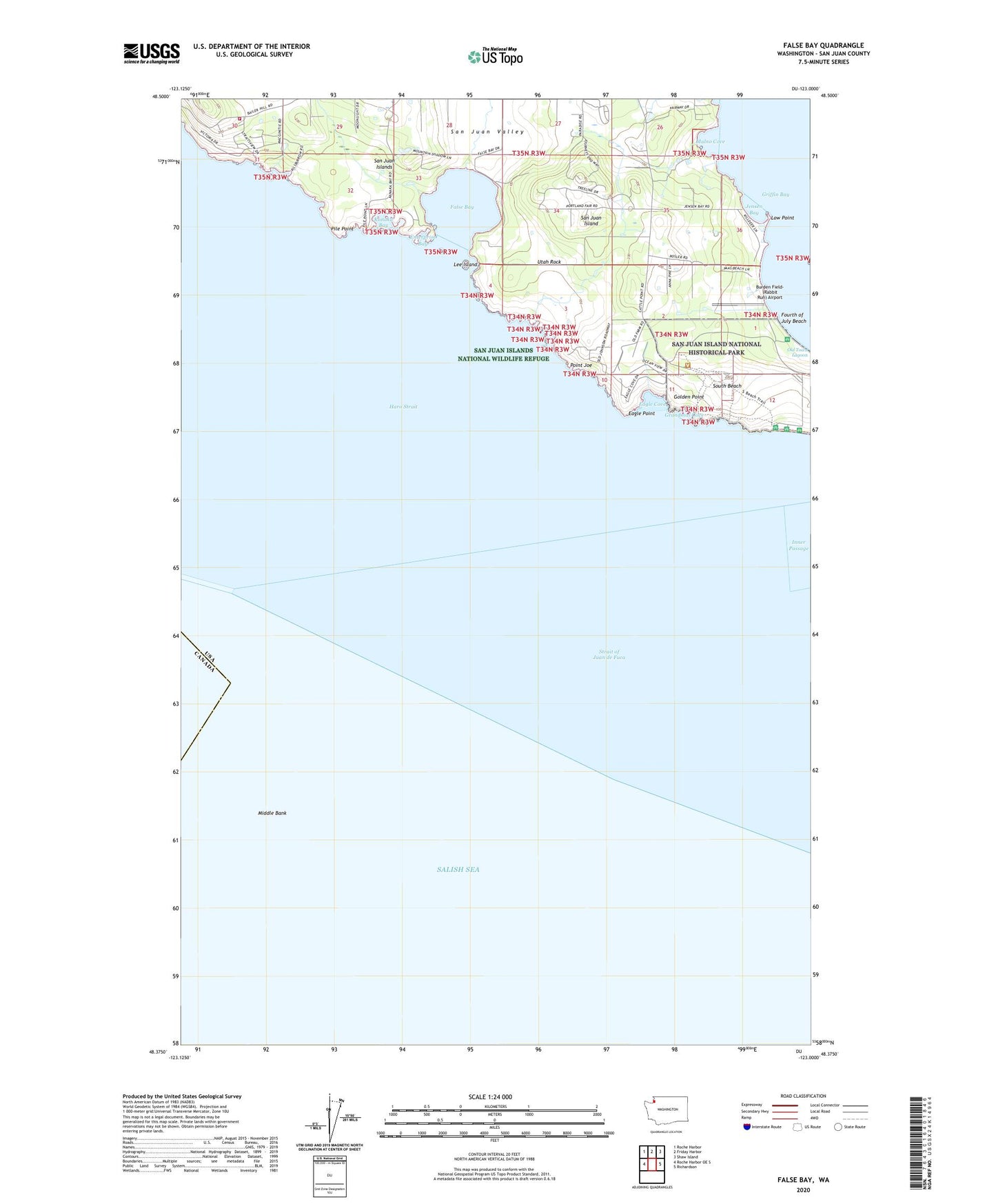
2023 topographic map quadrangle False Bay in the state of Washington. Scale: 1:24000. Based on the newly updated USGS 7.5' US Topo map series, this map is in the following counties: San Juan. The map contains contour data, water features, and other items you are used to seeing on USGS maps, but also has updated roads and other features. This is the next generation of topographic maps. Printed on high-quality waterproof paper with UV fade-resistant inks.
Quads adjacent to this one:
West: Roche Harbor OE S
Northwest: Roche Harbor
North: Friday Harbor
Northeast: Shaw Island
East: Richardson
This map covers the same area as the classic USGS quad with code o48123d1.
Contains the following named places: American Campsite, Burden Field-(Rabbit Run) Airport, Eagle Cove, Eagle Point, Enterprise Bay, False Bay, Fourth of July Beach, Golden Point, Gould Dam, Grandmas Cove, Halsey Dam Number One, Halsey Dam Number Three, Halsey Dam Number Two, Jensen Bay, Kanaka Bay, Lawson Dam Number One, Lee Island, Low Point, Middle Bank, Mulno Cove, Oaks Mobile Home Park, Old Town Lagoon, Pickett's Monument, Pile Point, Point Joe, Pratt Dam, San Juan Island Fire Department Bailer Hill Station 33, San Juan Island National Historical Park, San Juan Valley, South Beach, Utah Rock