MyTopo
Gillette Mountain Washington US Topo Map
Couldn't load pickup availability
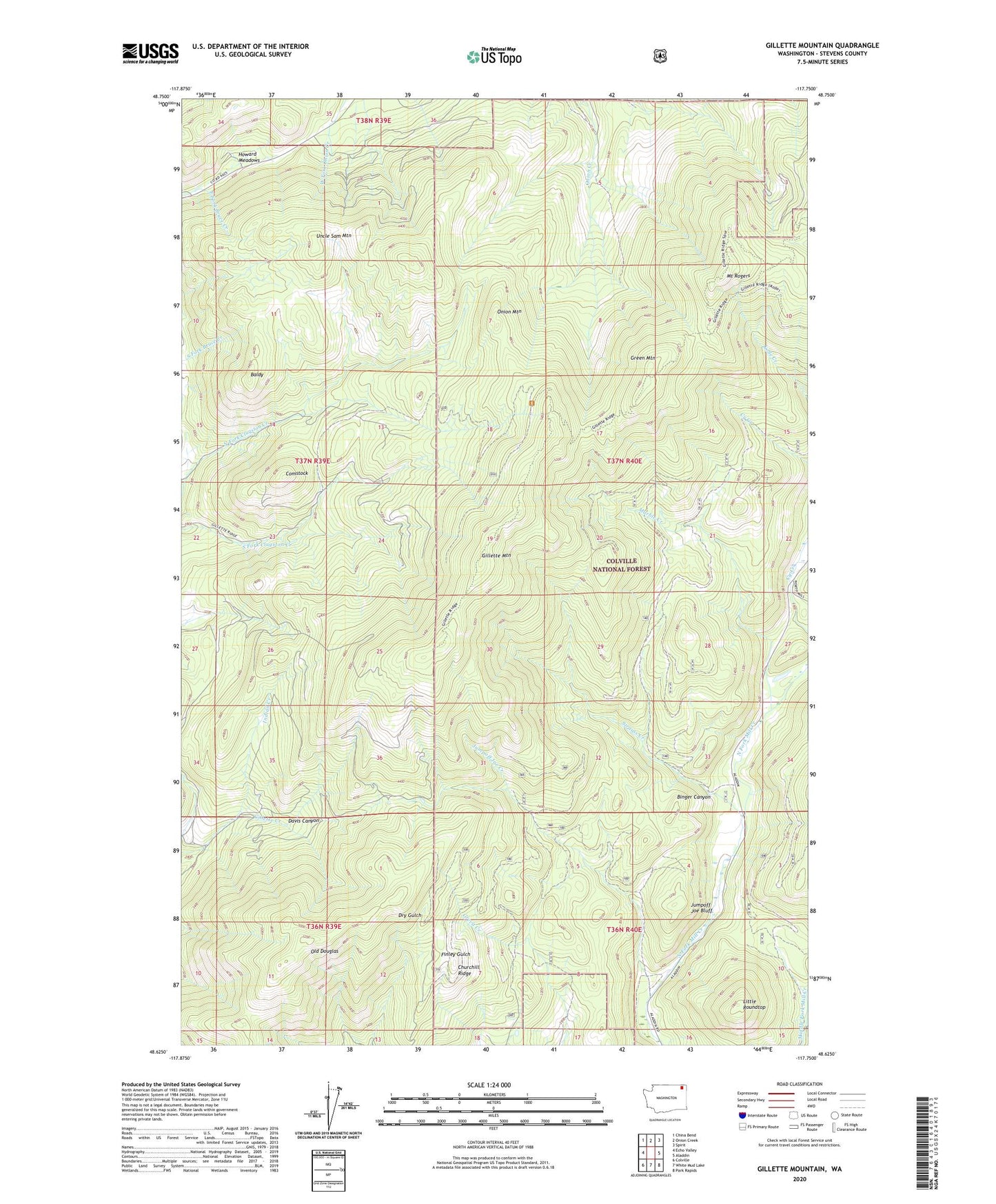
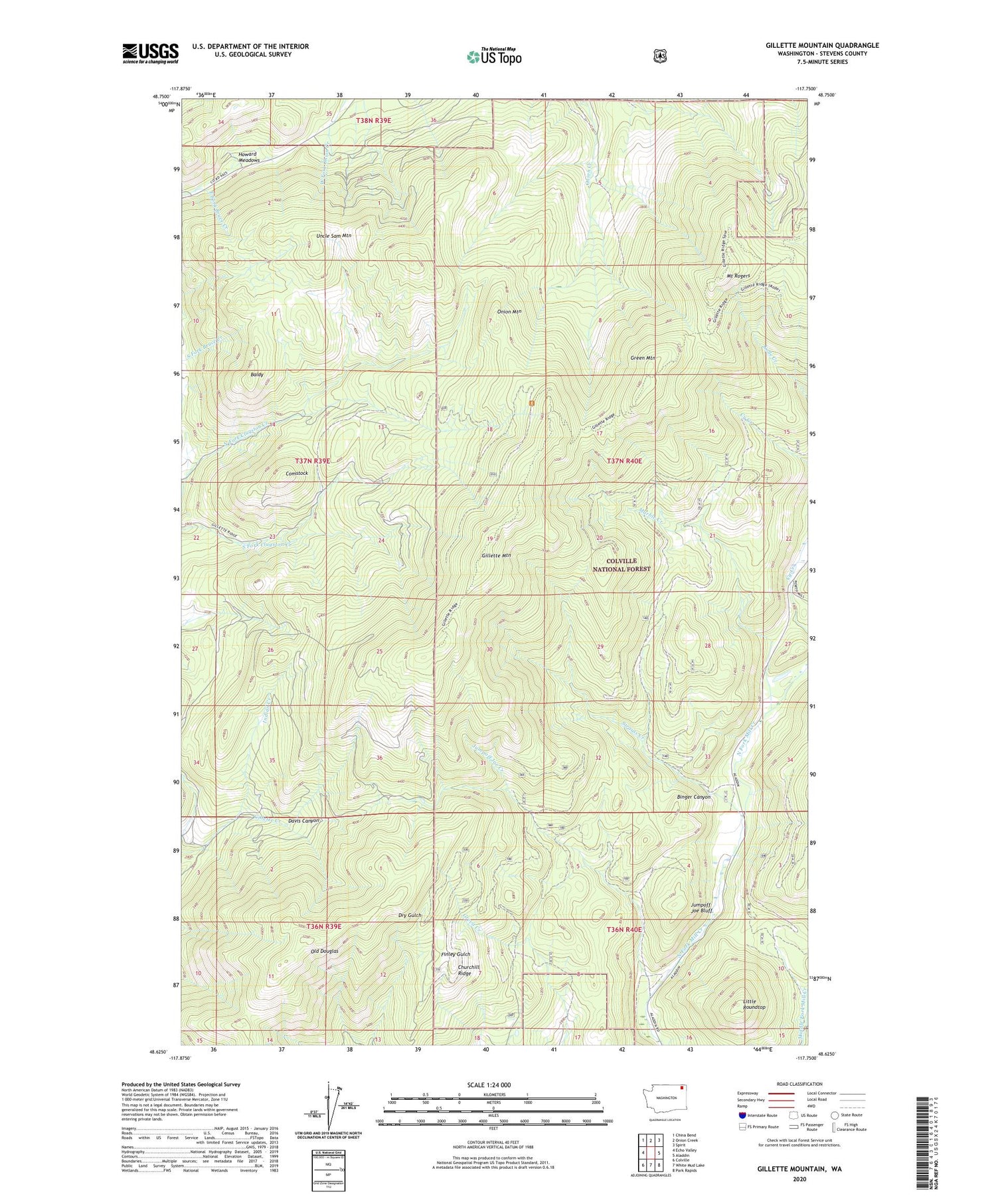
2020 topographic map quadrangle Gillette Mountain in the state of Washington. Scale: 1:24000. Based on the newly updated USGS 7.5' US Topo map series, this map is in the following counties: Stevens. The map contains contour data, water features, and other items you are used to seeing on USGS maps, but also has updated roads and other features. This is the next generation of topographic maps. Printed on high-quality waterproof paper with UV fade-resistant inks.
Quads adjacent to this one:
West: Echo Valley
Northwest: China Bend
North: Onion Creek
Northeast: Spirit
East: Aladdin
Southeast: Park Rapids
South: White Mud Lake
Southwest: Colville
Contains the following named places: Baldy, Big Chief Mine, Binger Canyon, Chloride Queen Mine, Churchill Ridge, Comstock, Davis Canyon, Echo Mine, Galena Farm Mine, Galena Knob Mine, Gillette Mountain, Green Mountain, Howard Meadows, Indian Creek, Jumpoff Joe Bluff, Jumpoff Joe Creek, Little Roundtop, Lucky Boy Mine, Marble Creek, Marble Quarry, Mount Rogers, Neglected Mine, Old Douglas, Onion Mountain, Reed Ranch, Shoemaker Mine, Staghorn Mountain, Strauss Creek, Tenderfoot Mine, Uncle Sam Mountain