MyTopo
Aladdin Washington US Topo Map
Couldn't load pickup availability
Also explore the Aladdin Forest Service Topo of this same quad for updated USFS data
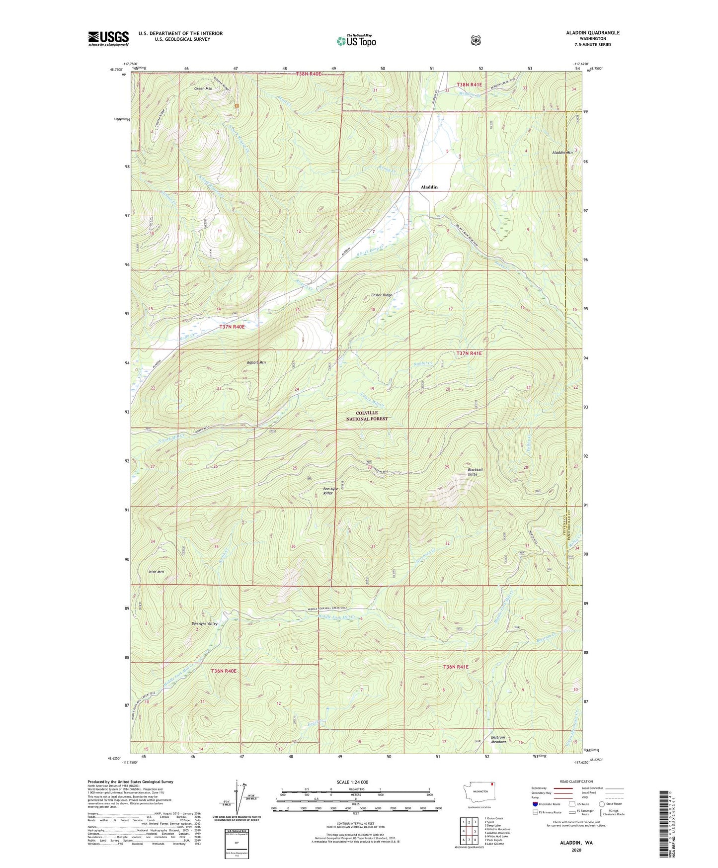
2023 topographic map quadrangle Aladdin in the state of Washington. Scale: 1:24000. Based on the newly updated USGS 7.5' US Topo map series, this map is in the following counties: Stevens, Pend Oreille. The map contains contour data, water features, and other items you are used to seeing on USGS maps, but also has updated roads and other features. This is the next generation of topographic maps. Printed on high-quality waterproof paper with UV fade-resistant inks.
Quads adjacent to this one:
West: Gillette Mountain
Northwest: Onion Creek
North: Spirit
Northeast: Deep Lake
East: Aladdin Mountain
Southeast: Lake Gillette
South: Park Rapids
Southwest: White Mud Lake
This map covers the same area as the classic USGS quad with code o48117f6.
Contains the following named places: Aladdin, Aladdin Mine, Bestrom Meadows, Blacktail Butte, Bon Ayre Ridge, Bon Ayre School, Bon Ayre Valley, Burrus Mine, Clinton Creek, Cy Creek, Ensler Ridge, Irish Mountain, Jacobsen Creek, Kenny Creek, Kolle Creek, Meadow Creek, Morning Mine, North Fork Rogers Creek, Polley Cabin, Rabbit Creek, Rabbit Mountain, Rocky Creek, Rogers Creek, Scott Creek, Smith Creek, South Fork Rogers Creek, ZIP Code: 99114