MyTopo
Hemlock Pass Washington US Topo Map
Couldn't load pickup availability
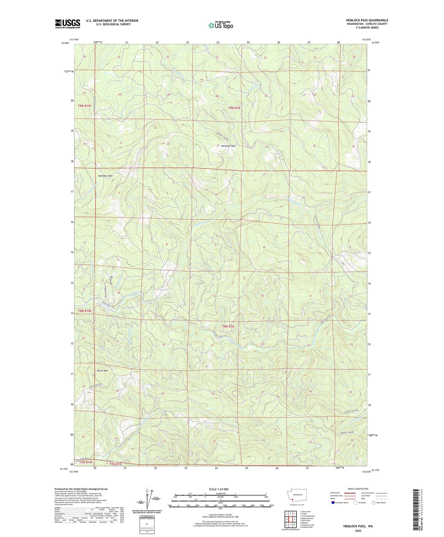
2020 topographic map quadrangle Hemlock Pass in the state of Washington. Scale: 1:24000. Based on the newly updated USGS 7.5' US Topo map series, this map is in the following counties: Cowlitz. The map contains contour data, water features, and other items you are used to seeing on USGS maps, but also has updated roads and other features. This is the next generation of topographic maps. Printed on high-quality waterproof paper with UV fade-resistant inks.
Quads adjacent to this one:
West: Mount Brynion
Northwest: Silver Lake
North: Toutle
Northeast: Toutle Mountain
East: Wolf Point
Southeast: Georges Peak
South: Woolford Creek
Southwest: Kalama
Contains the following named places: Blackman Creek, Cowlitz County, Hemlock Pass, Jim Watson Creek, Meridian Lookout, Meridian Mountain, Mulholland Creek, Rose Valley Division, Sam Smith Creek, Smith Mountain