MyTopo
Mount Brynion Washington US Topo Map
Couldn't load pickup availability
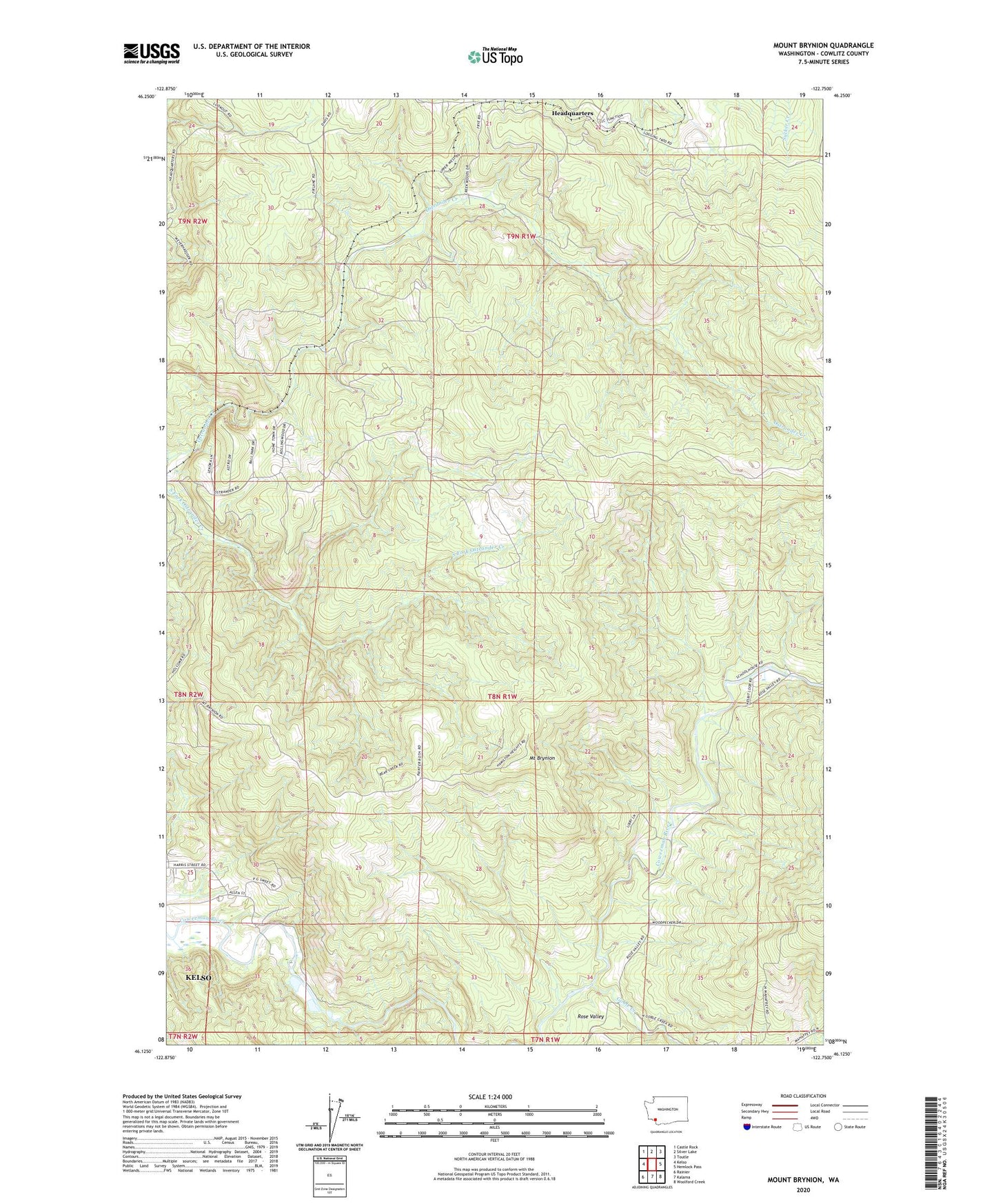
2023 topographic map quadrangle Mount Brynion in the state of Washington. Scale: 1:24000. Based on the newly updated USGS 7.5' US Topo map series, this map is in the following counties: Cowlitz. The map contains contour data, water features, and other items you are used to seeing on USGS maps, but also has updated roads and other features. This is the next generation of topographic maps. Printed on high-quality waterproof paper with UV fade-resistant inks.
Quads adjacent to this one:
West: Kelso
Northwest: Castle Rock
North: Silver Lake
Northeast: Toutle
East: Hemlock Pass
Southeast: Woolford Creek
South: Kalama
Southwest: Rainier
This map covers the same area as the classic USGS quad with code o46122b7.
Contains the following named places: Coweman Gravel Pit Number One Dam, Coweman Gravel Pit Number Two Dam, Goble Creek, Headquarters, KJVH-FM (Longview), KLYK-FM (Longview), Mount Brynion, ZIP Code: 98626