
MyTopo
Lightning Peak Washington US Topo Map
Couldn't load pickup availability
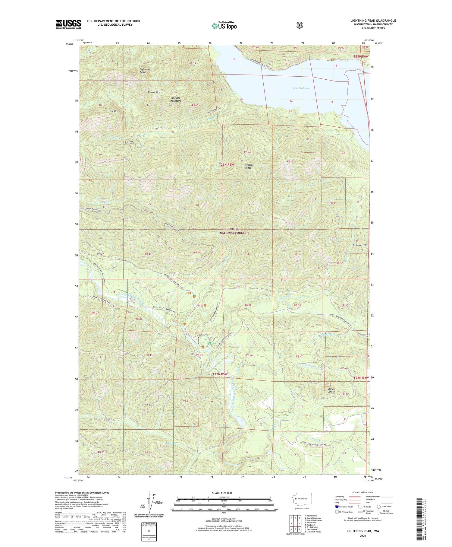
2020 topographic map quadrangle Lightning Peak in the state of Washington. Scale: 1:24000. Based on the newly updated USGS 7.5' US Topo map series, this map is in the following counties: Mason. The map contains contour data, water features, and other items you are used to seeing on USGS maps, but also has updated roads and other features. This is the next generation of topographic maps. Printed on high-quality waterproof paper with UV fade-resistant inks.
Quads adjacent to this one:
West: Mount Tebo
Northwest: Mount Olson
North: Mount Skokomish
Northeast: Mount Washington
East: Hoodsport
Southeast: Skokomish Valley
South: Vance Creek
Southwest: Dry Bed Lakes
Contains the following named places: Brown Creek, Brown Creek Campground, Dalby Creek, Dennie Ahl Hill, Dennie Ahl Hill Lookout, Dennie Ahl Seed Orchard, Dry Creek, Harp Creek, Intermount Guard Station, Lake Cushman, Le Bar Creek, Le Bar Guard Station, Lightning Peak, Prospect Ridge, Rock Creek, Timber Mountain, West Mason Division


