MyTopo
Milk Canyon Washington US Topo Map
Couldn't load pickup availability
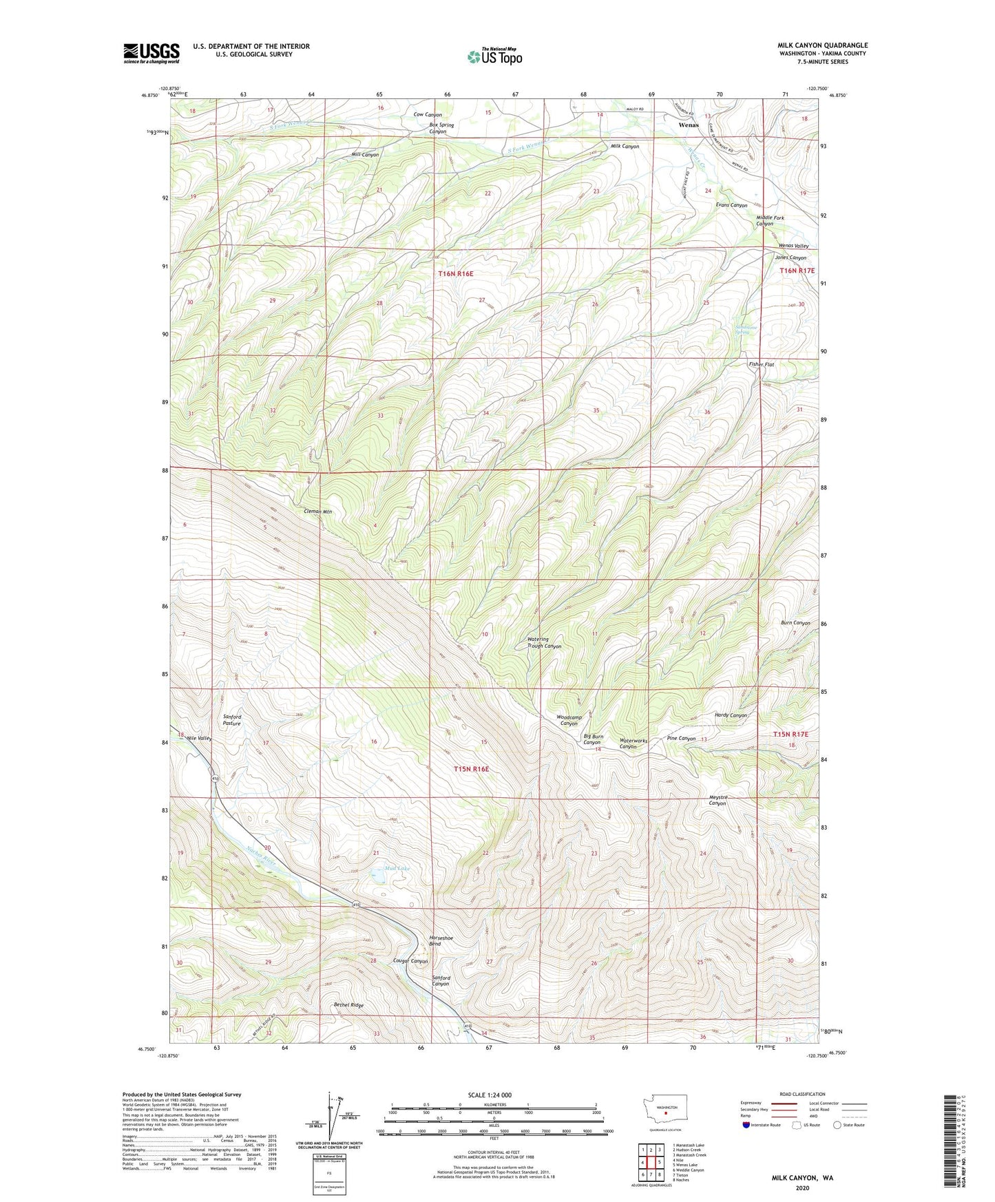
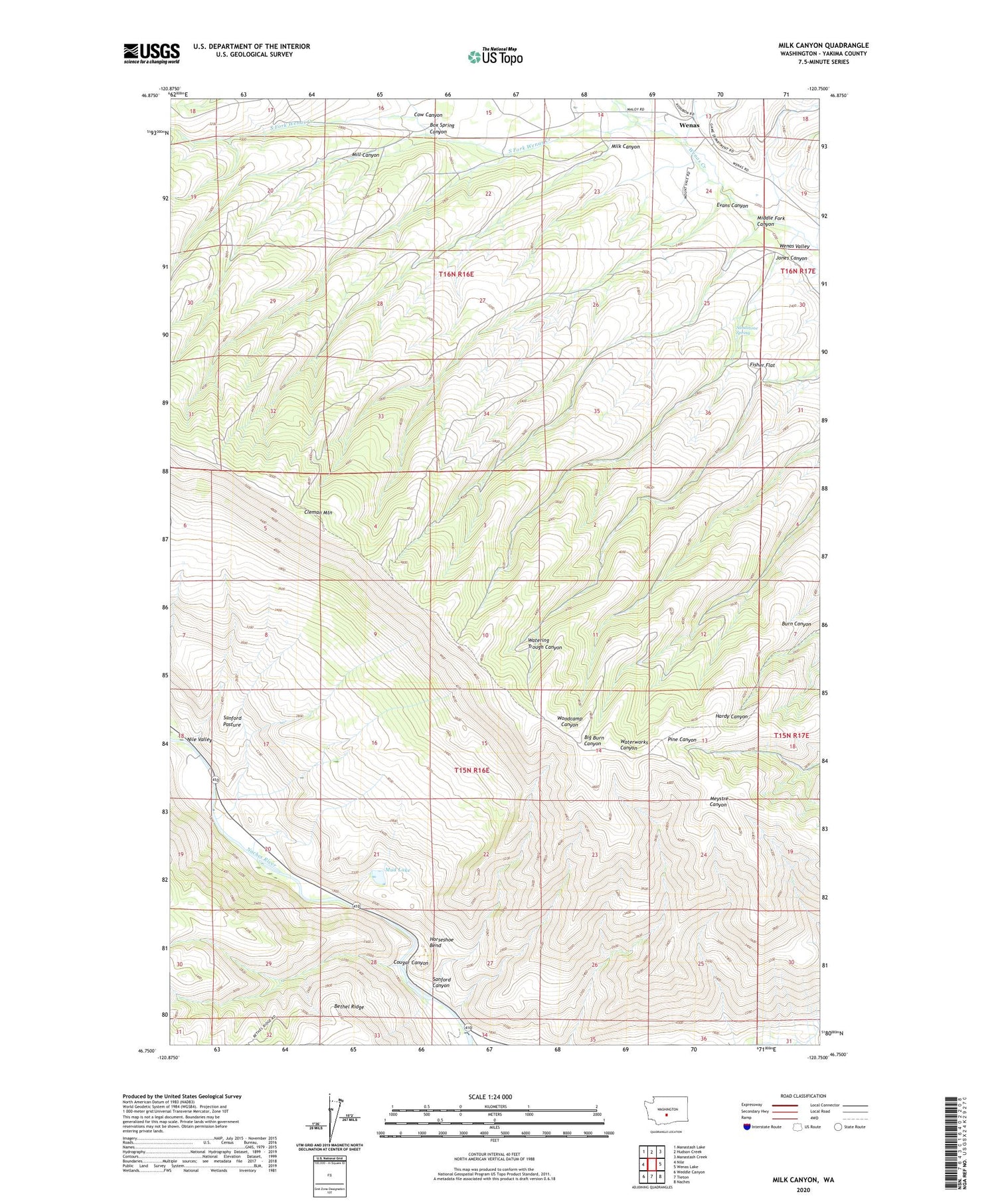
2020 topographic map quadrangle Milk Canyon in the state of Washington. Scale: 1:24000. Based on the newly updated USGS 7.5' US Topo map series, this map is in the following counties: Yakima. The map contains contour data, water features, and other items you are used to seeing on USGS maps, but also has updated roads and other features. This is the next generation of topographic maps. Printed on high-quality waterproof paper with UV fade-resistant inks.
Quads adjacent to this one:
West: Nile
Northwest: Manastash Lake
North: Hudson Creek
Northeast: Manastash Creek
East: Wenas Lake
Southeast: Naches
South: Tieton
Southwest: Weddle Canyon
Contains the following named places: Box Spring Canyon, Cleman Mountain, Cougar Canyon, Cow Canyon, Dogs Run Free Airport, Evans Canyon, Fisher Flat, Horseshoe Bend, Jones Canyon, Middle Fork Canyon, Milk Canyon, Mill Canyon, Mud Lake, Nile Valley, North Fork Wenas Creek, Oak Creek State Wildlife Area, Sandstone Spring, Sanford Canyon, South Fork Wenas Creek, Wenas