MyTopo
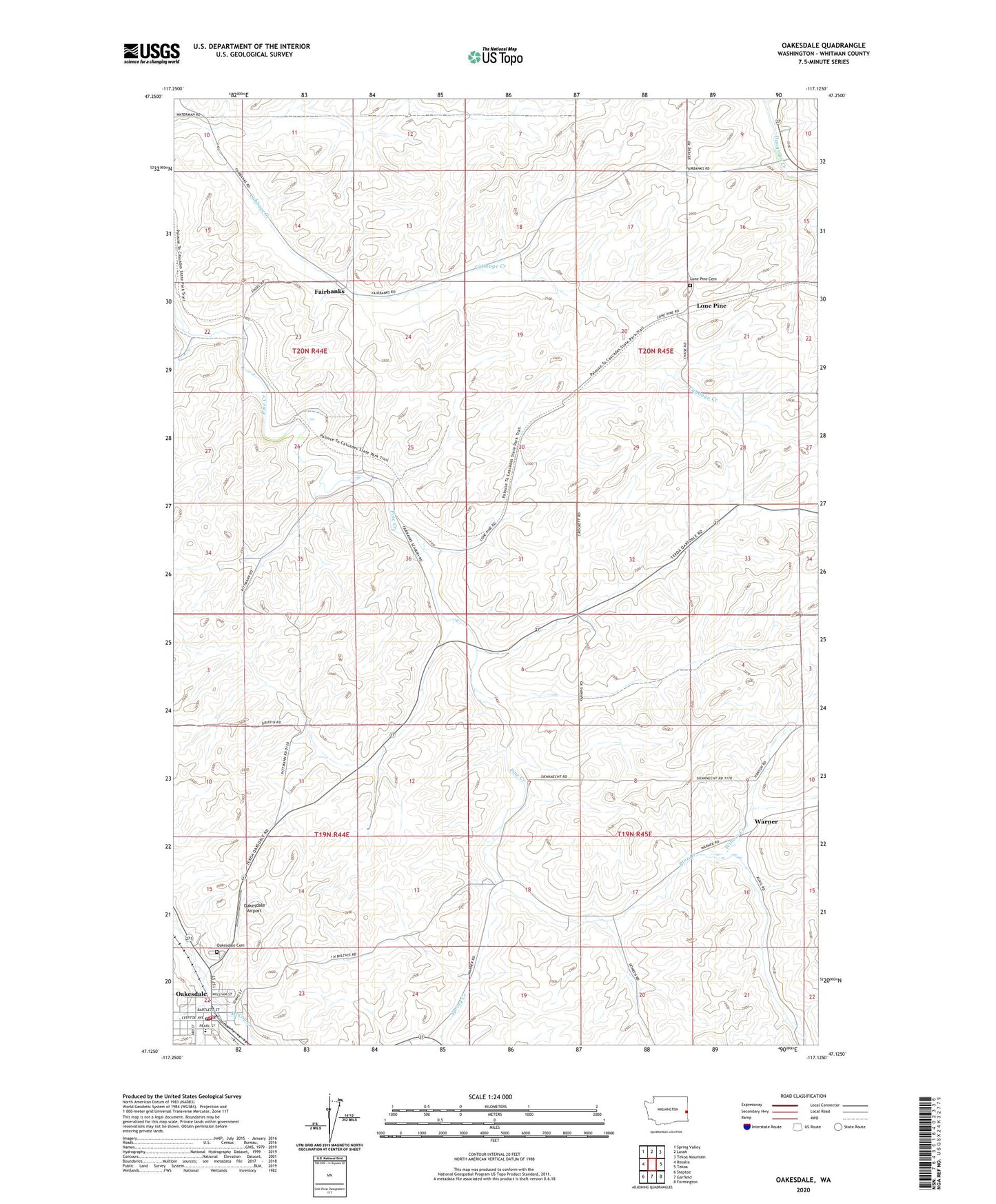
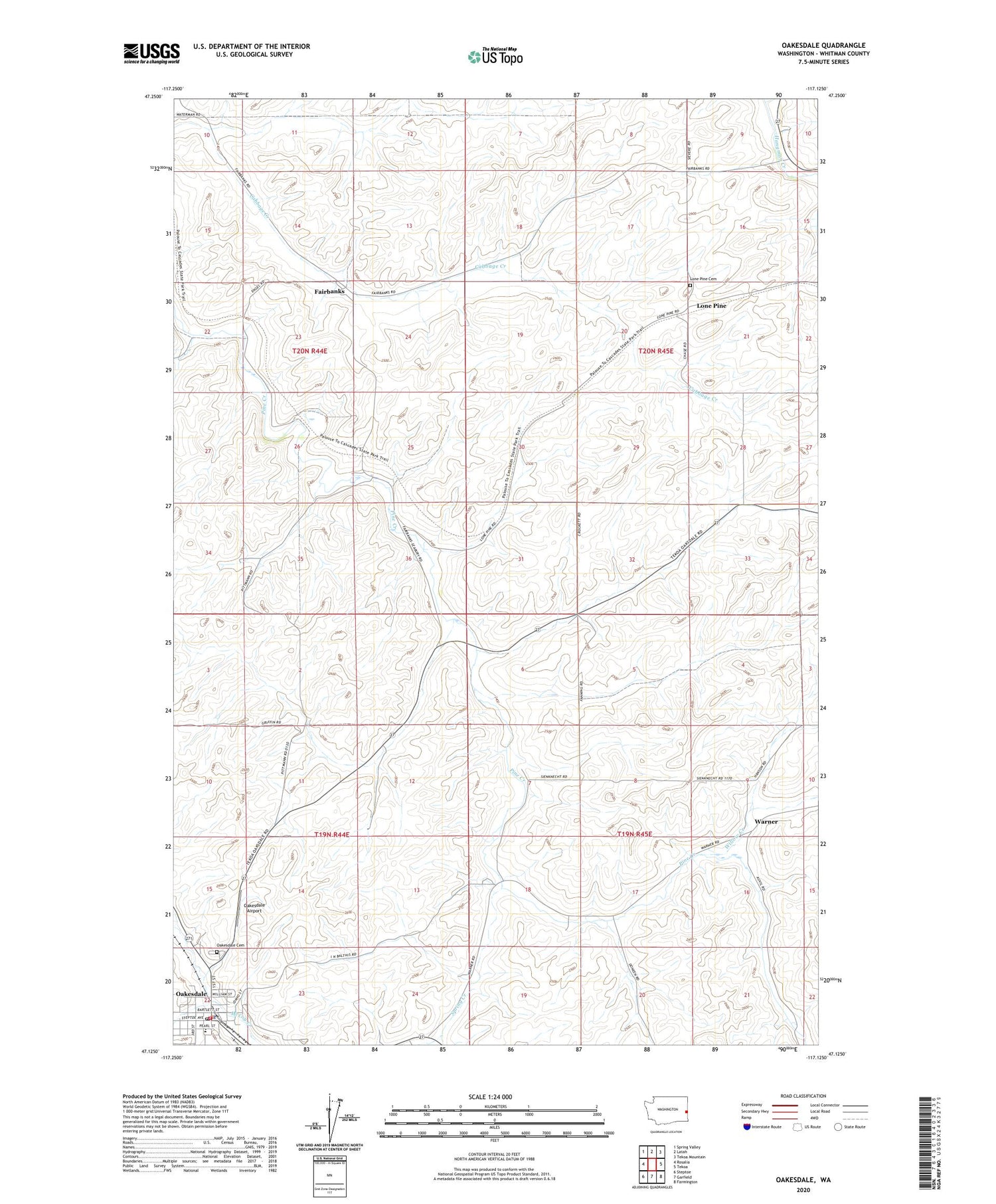
Oakesdale Washington US Topo Map
Couldn't load pickup availability
2020 topographic map quadrangle Oakesdale in the state of Washington. Scale: 1:24000. Based on the newly updated USGS 7.5' US Topo map series, this map is in the following counties: Whitman. The map contains contour data, water features, and other items you are used to seeing on USGS maps, but also has updated roads and other features. This is the next generation of topographic maps. Printed on high-quality waterproof paper with UV fade-resistant inks.
Quads adjacent to this one:
West: Rosalia
Northwest: Spring Valley
North: Latah
Northeast: Tekoa Mountain
East: Tekoa
Southeast: Farmington
South: Garfield
Southwest: Steptoe
Contains the following named places: Fairbanks, Fletcher, Geary, John Wayne Trail, Kelley Creek, Lone Pine, Lone Pine Cemetery, Oakesdale, Oakesdale Airport, Oakesdale Cemetery, Oakesdale Elementary and High School, Oakesdale Post Office, Seabury, Spring Creek, Town of Oakesdale, Warner, Whitman County Fire District 10 Oakesdale, Willow Creek, ZIP Code: 99158