MyTopo
Orondo Washington US Topo Map
Couldn't load pickup availability
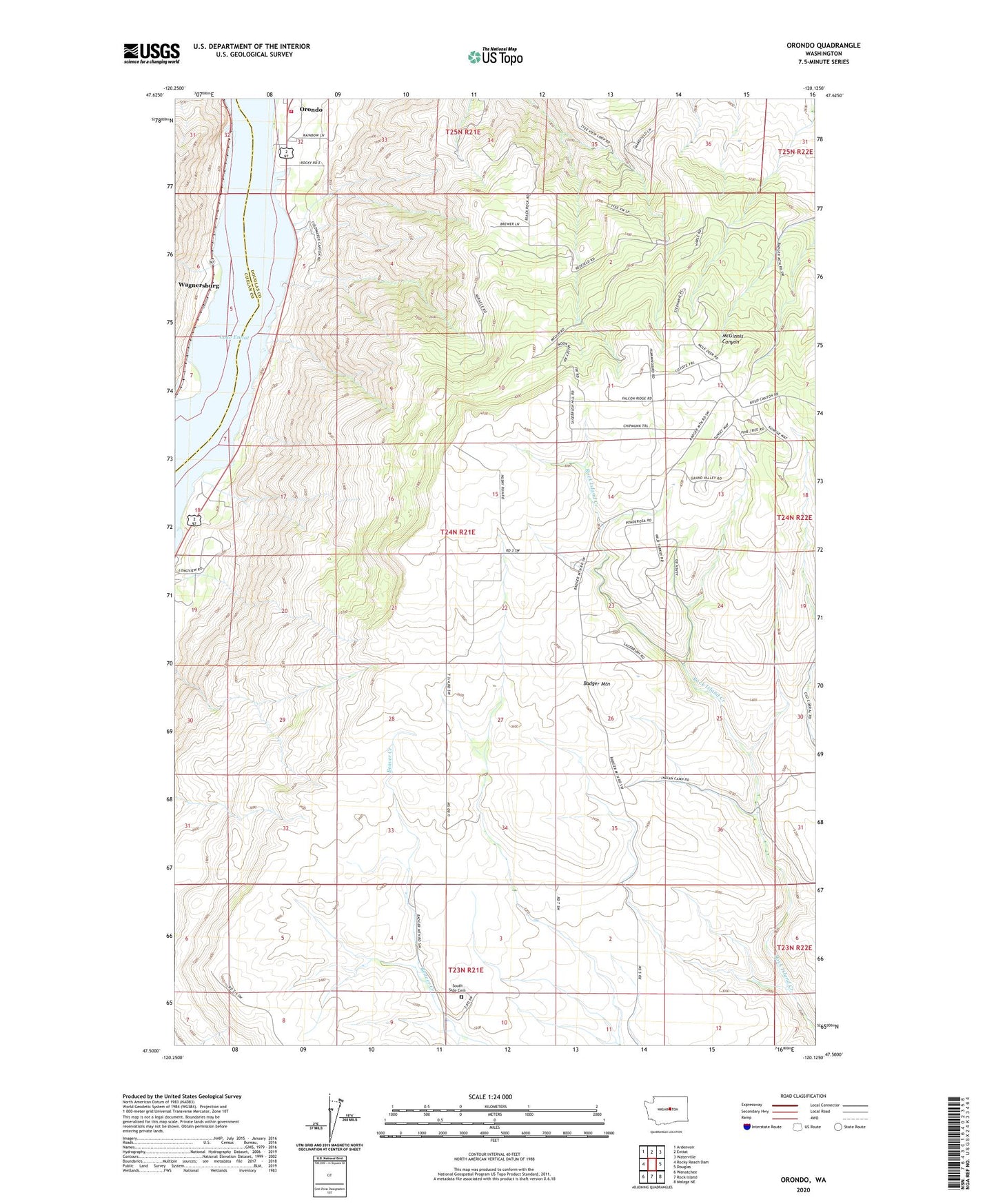
2020 topographic map quadrangle Orondo in the state of Washington. Scale: 1:24000. Based on the newly updated USGS 7.5' US Topo map series, this map is in the following counties: Douglas, Chelan. The map contains contour data, water features, and other items you are used to seeing on USGS maps, but also has updated roads and other features. This is the next generation of topographic maps. Printed on high-quality waterproof paper with UV fade-resistant inks.
Quads adjacent to this one:
West: Rocky Reach Dam
Northwest: Ardenvoir
North: Entiat
Northeast: Waterville
East: Douglas
Southeast: Malaga NE
South: Rock Island
Southwest: Wenatchee
Contains the following named places: Badger Mountain Cemetery, Badger Mountain Community Hall, Badger Mountain Lookout Tower, Douglas County Fire District 4, Wagnersburg