MyTopo
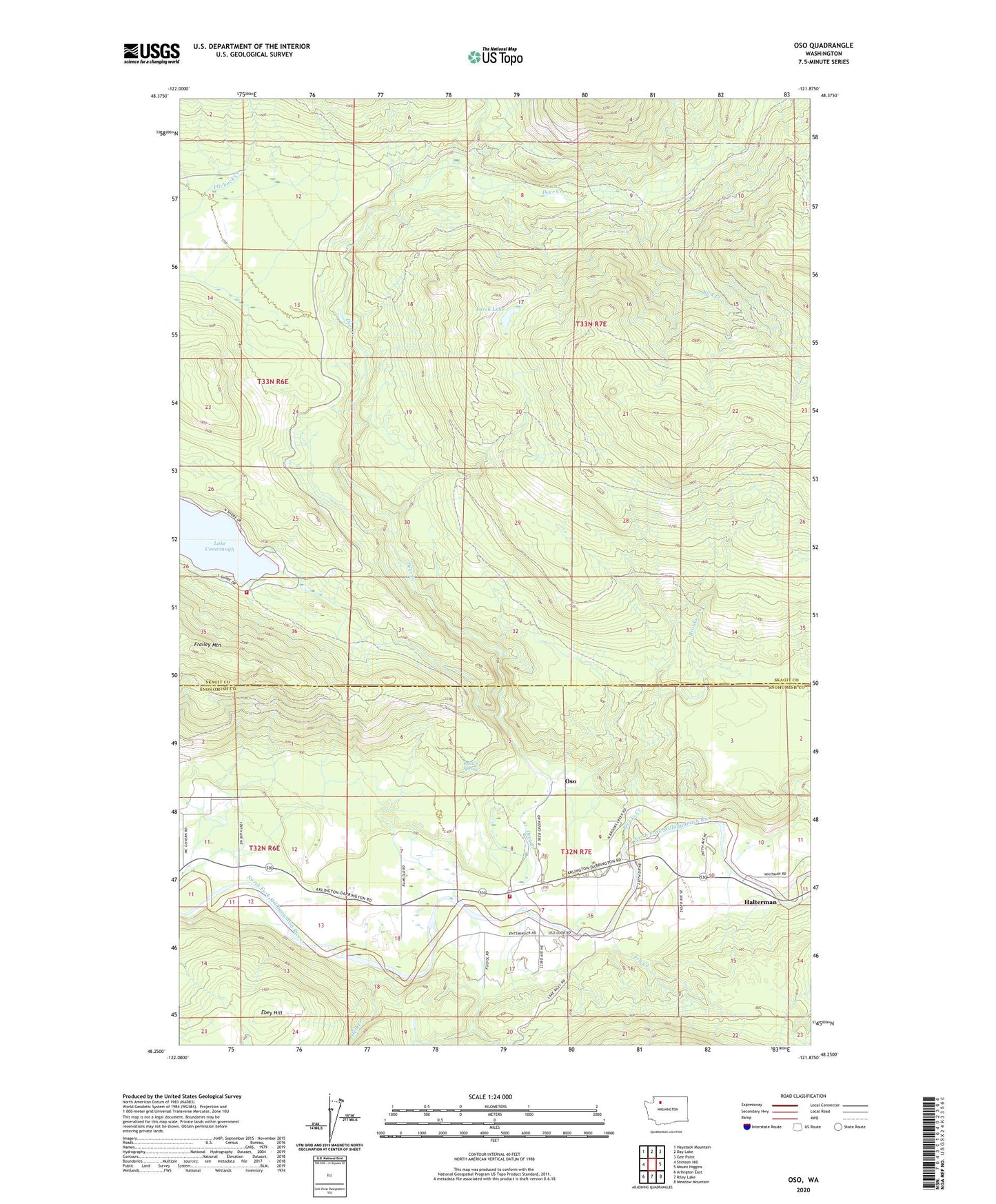
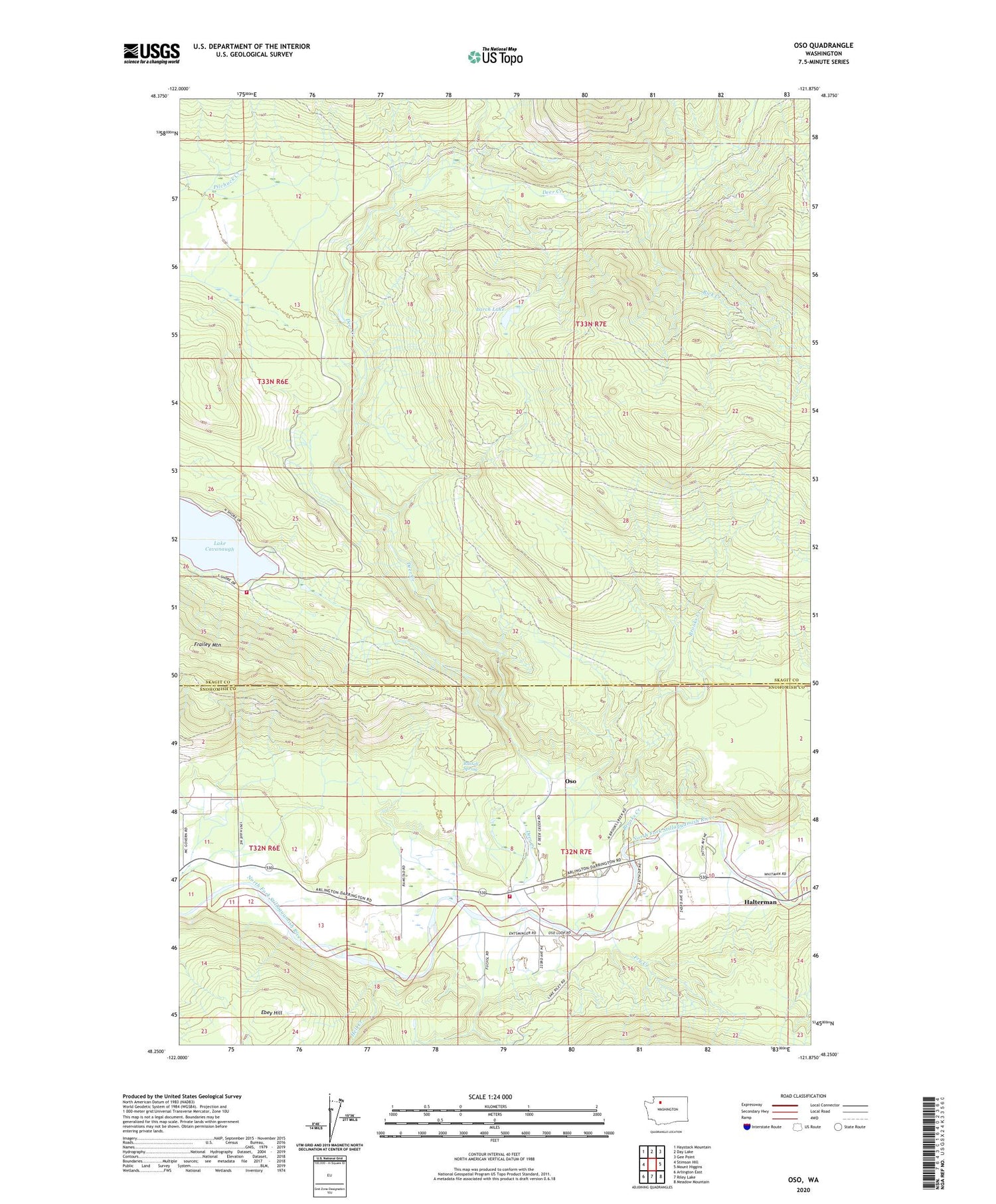
Oso Washington US Topo Map
Couldn't load pickup availability
2020 topographic map quadrangle Oso in the state of Washington. Scale: 1:24000. Based on the newly updated USGS 7.5' US Topo map series, this map is in the following counties: Skagit, Snohomish. The map contains contour data, water features, and other items you are used to seeing on USGS maps, but also has updated roads and other features. This is the next generation of topographic maps. Printed on high-quality waterproof paper with UV fade-resistant inks.
Quads adjacent to this one:
West: Stimson Hill
Northwest: Haystack Mountain
North: Day Lake
Northeast: Gee Point
East: Mount Higgins
Southeast: Meadow Mountain
South: Riley Lake
Southwest: Arlington East
Contains the following named places: Arlington Hatchery, Brooks Creek, Cavanaugh-Oso Truck Trail, County Line Pond, Deer Creek, Deer Creek Truck Trail, Frailey Mountain, Fry Creek, Halterman, Hell Creek, Larch Lake, Montague Creek, Oso, Oso Census Designated Place, Oso Community Chapel, Oso Gravel Quarry, Oso Truck Trail, Rick Creek, Russell Spring, Skagit County Fire District 7 Lake Cavanaugh Fire Department, Snohomish County Fire District 25 Station 37 Oso Fire Department