MyTopo
Pinnacle Mountain Washington US Topo Map
Couldn't load pickup availability
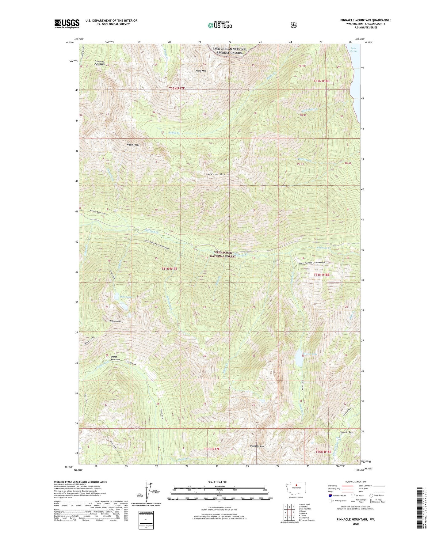
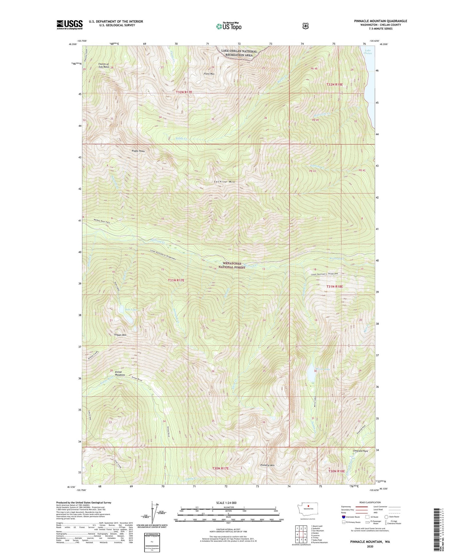
2020 topographic map quadrangle Pinnacle Mountain in the state of Washington. Scale: 1:24000. Based on the newly updated USGS 7.5' US Topo map series, this map is in the following counties: Chelan. The map contains contour data, water features, and other items you are used to seeing on USGS maps, but also has updated roads and other features. This is the next generation of topographic maps. Printed on high-quality waterproof paper with UV fade-resistant inks.
Quads adjacent to this one:
West: Holden
Northwest: Mount Lyall
North: Stehekin
Northeast: Sun Mountain
East: Lucerne
Southeast: Pyramid Mountain
South: Saska Peak
Southwest: Trinity
Contains the following named places: Candy Creek, Dole Creek, Dole Lakes, Edil Mine, Emerald Park, Entiat Meadows, Flora Mountain, Klone Creek, Lucerne Mountain, Mirror Lake, Ninemile Creek, Pinnacle Mountain, Riddle Peaks, Sevenmile Creek, Sixmile Creek, Tenas Creek, Tinpan Mountain, Tumble Creek, Wilson Creek, Wolverine Creek