MyTopo
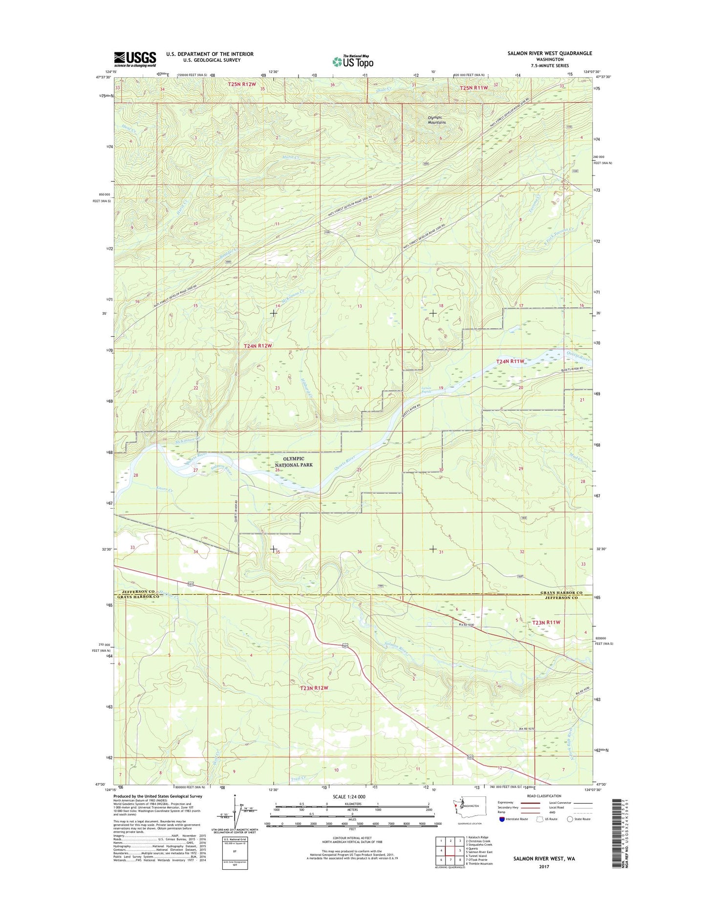
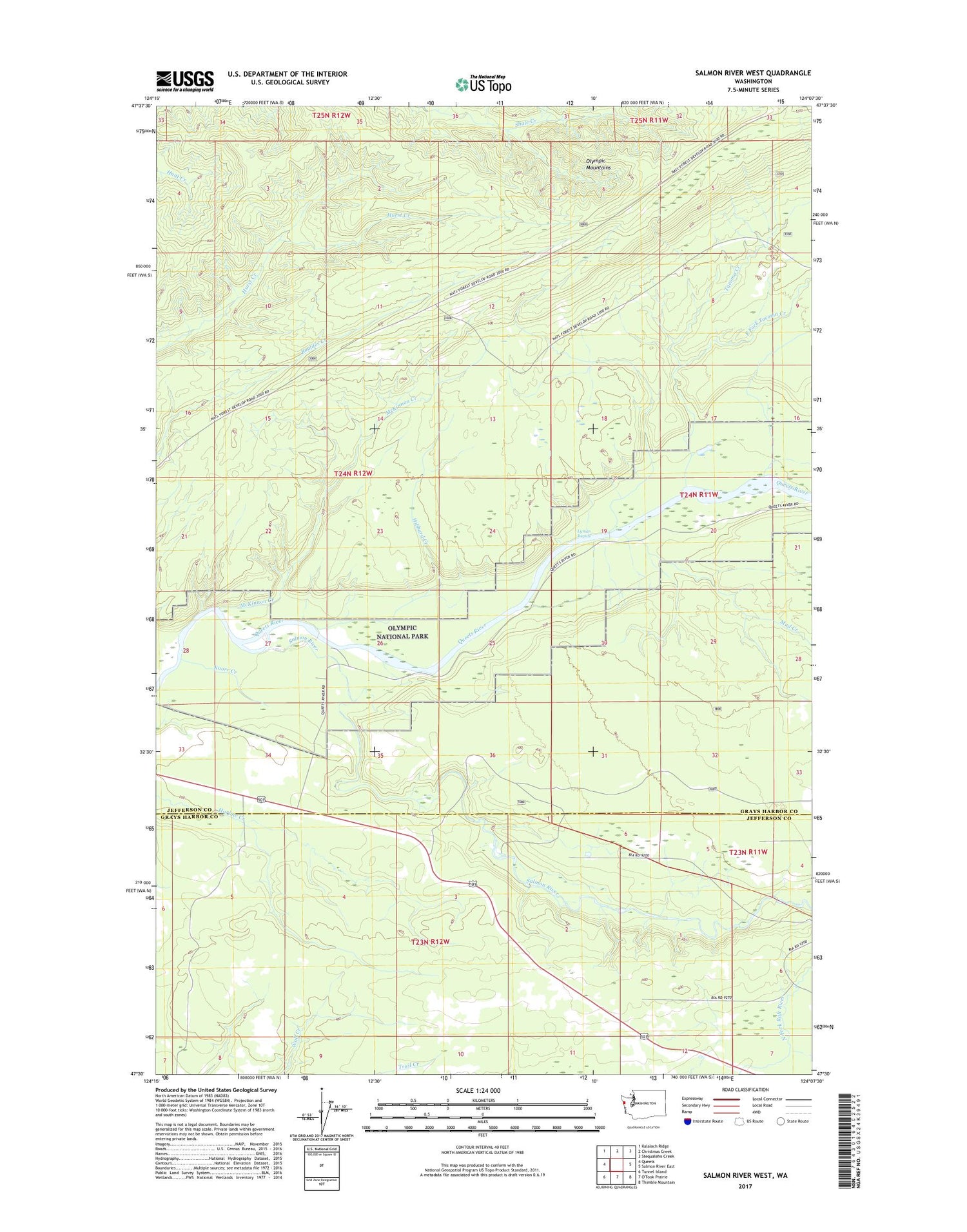
Salmon River West Washington US Topo Map
Couldn't load pickup availability
2020 topographic map quadrangle Salmon River West in the state of Washington. Scale: 1:24000. Based on the newly updated USGS 7.5' US Topo map series, this map is in the following counties: Jefferson, Grays Harbor. The map contains contour data, water features, and other items you are used to seeing on USGS maps, but also has updated roads and other features. This is the next generation of topographic maps. Printed on high-quality waterproof paper with UV fade-resistant inks.
Quads adjacent to this one:
West: Queets
Northwest: Kalaloch Ridge
North: Christmas Creek
Northeast: Stequaleho Creek
East: Salmon River East
Southeast: Thimble Mountain
Southwest: Tunnel Island
Contains the following named places: East Fork Tacoma Creek, Hibbard Creek, Knorr Creek, Lyman Rapids, McKinnon Creek, Mud Creek, Salmon River, Tacoma Creek