MyTopo
Thimble Mountain Washington US Topo Map
Couldn't load pickup availability
Also explore the Thimble Mountain Forest Service Topo of this same quad for updated USFS data
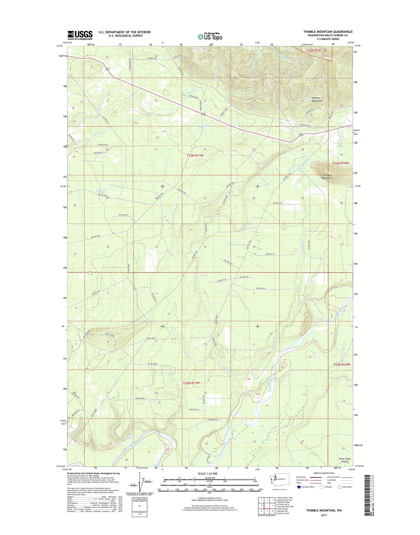
2023 topographic map quadrangle Thimble Mountain in the state of Washington. Scale: 1:24000. Based on the newly updated USGS 7.5' US Topo map series, this map is in the following counties: Grays Harbor. The map contains contour data, water features, and other items you are used to seeing on USGS maps, but also has updated roads and other features. This is the next generation of topographic maps. Printed on high-quality waterproof paper with UV fade-resistant inks.
Quads adjacent to this one:
Northwest: Salmon River West
North: Salmon River East
Northeast: Matheny Ridge
East: Lake Quinault West
Southeast: Stevens Creek
South: Macafee Hill
Southwest: Shale Slough
This map covers the same area as the classic USGS quad with code o47124d1.
Contains the following named places: Boulder Creek, Camp Creek, Dry Creek, Huckleberry Creek, Joe Creek, State Log Scaling Station, Ten O'Clock Creek, Thimble Mountain