MyTopo
Signal Peak Washington US Topo Map
Couldn't load pickup availability
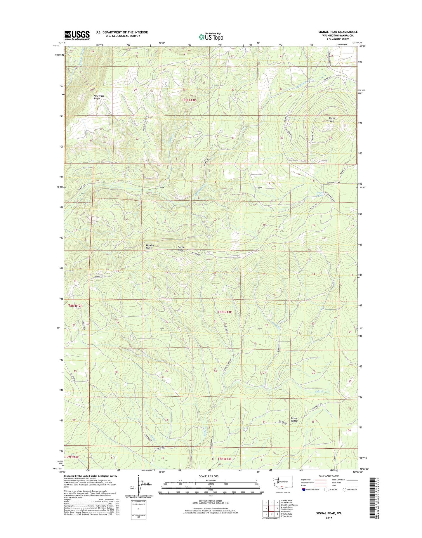
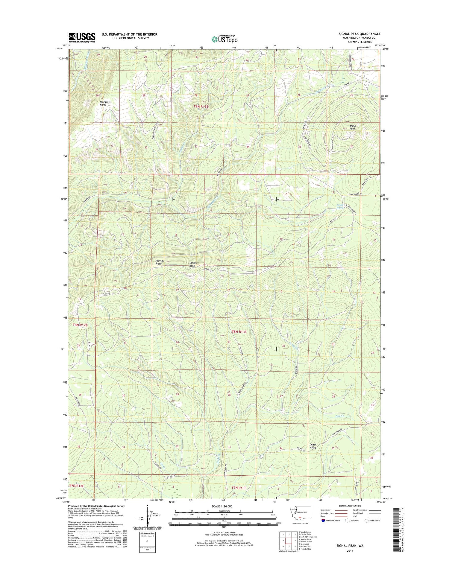
2020 topographic map quadrangle Signal Peak in the state of Washington. Scale: 1:24000. Based on the newly updated USGS 7.5' US Topo map series, this map is in the following counties: Yakima. The map contains contour data, water features, and other items you are used to seeing on USGS maps, but also has updated roads and other features. This is the next generation of topographic maps. Printed on high-quality waterproof paper with UV fade-resistant inks.
Quads adjacent to this one:
West: Jungle Butte
Northwest: Windy Point
North: Castile Falls
Northeast: Lost Horse Plateau
East: Poland Butte
Southeast: Twin Buttes
South: Outlet Falls
Southwest: Glenwood
Contains the following named places: Cedar Creek, Joe Creek, Jungle Spring, Peavine Ridge, Pinegrass Ridge, Pole Creek, Saxton Rock, Signal Peak, Signal Peak Lookout Heliport, Signal Peak Ranger Station, West Fork Klickitat River