MyTopo
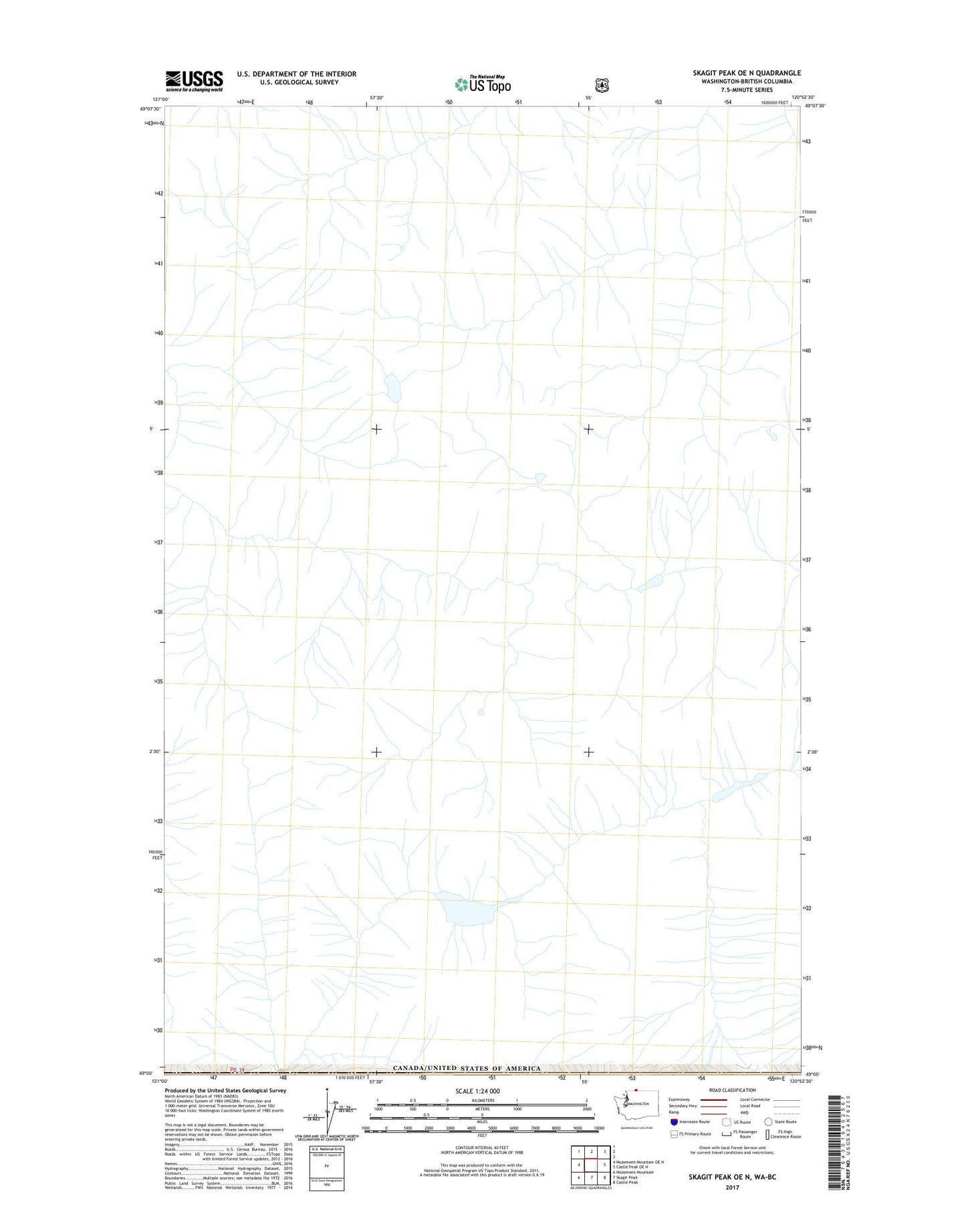
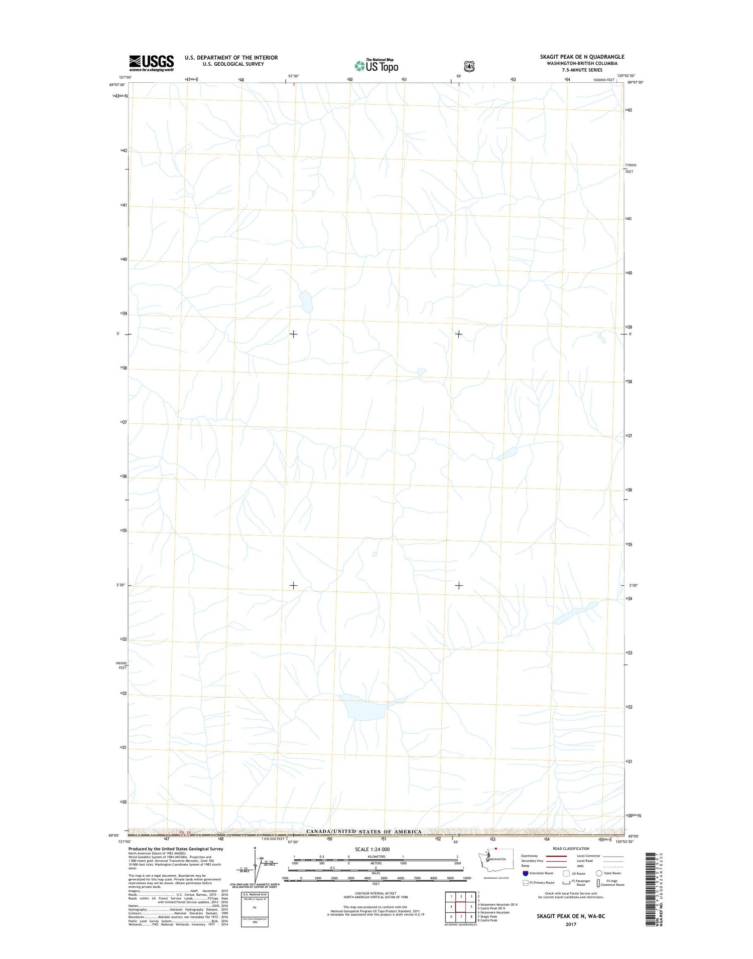
Skagit Peak OE N Washington US Topo Map
Regular price
$16.95
Regular price
Sale price
$16.95
Unit price
per
Couldn't load pickup availability
2023 topographic map quadrangle Skagit Peak OE N in the state of Washington. Scale: 1:24000. Based on the newly updated USGS 7.5' US Topo map series, this map is in the following counties: Whatcom. The map contains contour data, water features, and other items you are used to seeing on USGS maps, but also has updated roads and other features. This is the next generation of topographic maps. Printed on high-quality waterproof paper with UV fade-resistant inks.
Quads adjacent to this one:
West: Hozomeen Mountain OE N
East: Castle Peak OE N
Southeast: Castle Peak
South: Skagit Peak
Southwest: Hozomeen Mountain
Contains the following named places: Boundary Creek, Pass Creek