MyTopo
Tucannon Washington US Topo Map
Couldn't load pickup availability
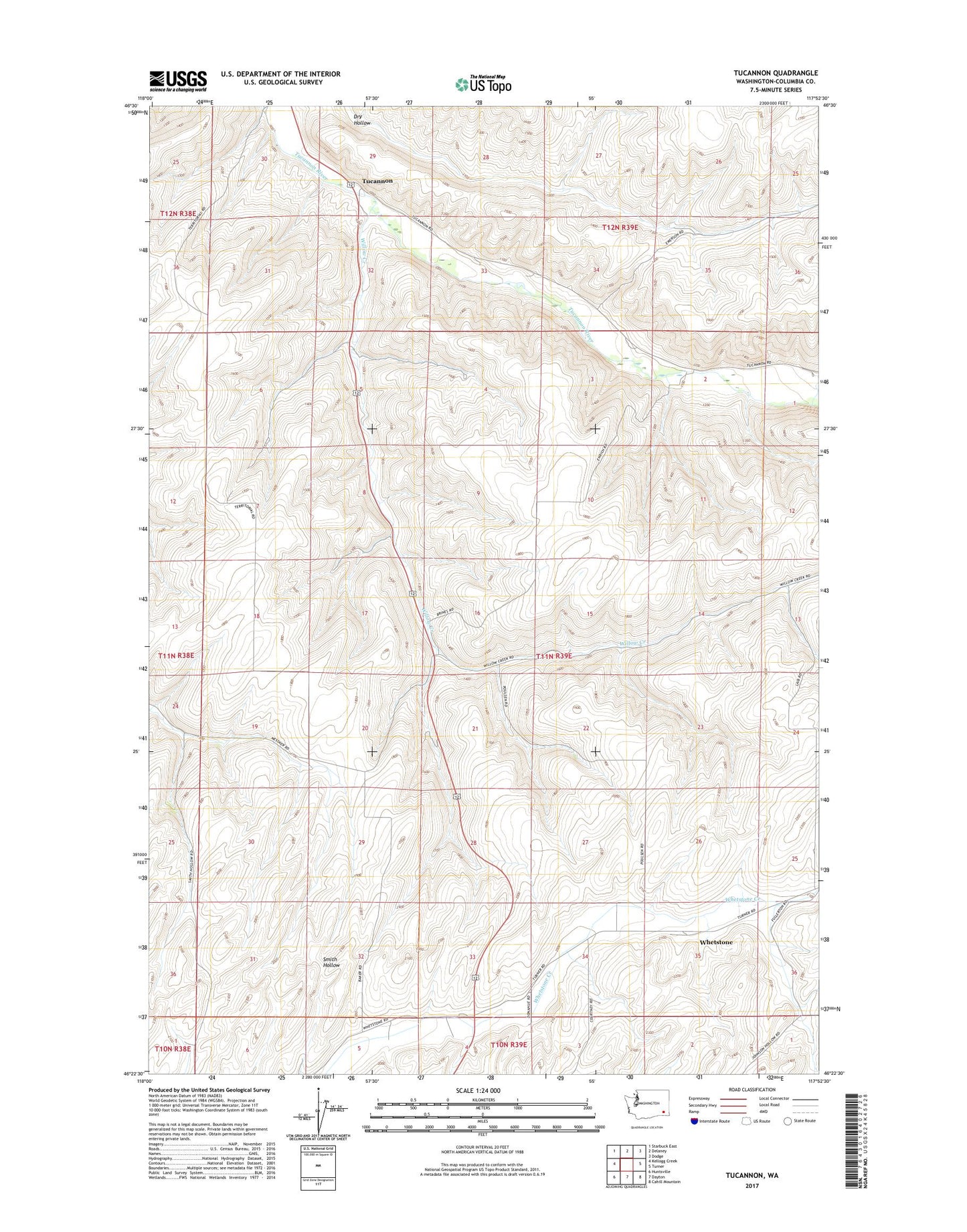
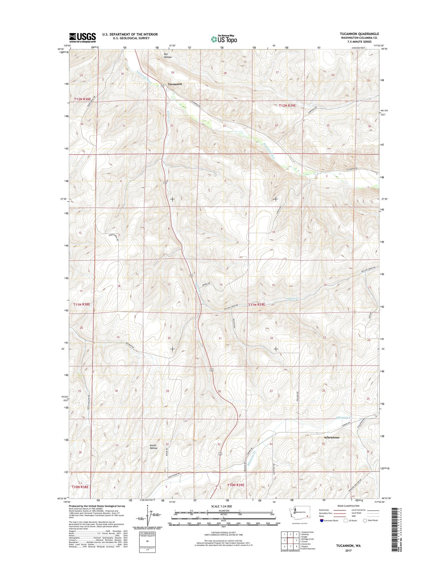
2020 topographic map quadrangle Tucannon in the state of Washington. Scale: 1:24000. Based on the newly updated USGS 7.5' US Topo map series, this map is in the following counties: Columbia. The map contains contour data, water features, and other items you are used to seeing on USGS maps, but also has updated roads and other features. This is the next generation of topographic maps. Printed on high-quality waterproof paper with UV fade-resistant inks.
Quads adjacent to this one:
West: Kellogg Creek
Northwest: Starbuck East
North: Delaney
Northeast: Dodge
East: Turner
Southeast: Cahill Mountain
South: Dayton
Southwest: Huntsville
Contains the following named places: Dayton Airport, Harmony Community Hall, Tucannon, Whetstone, Willow Creek