MyTopo
Twin Buttes Washington US Topo Map
Couldn't load pickup availability
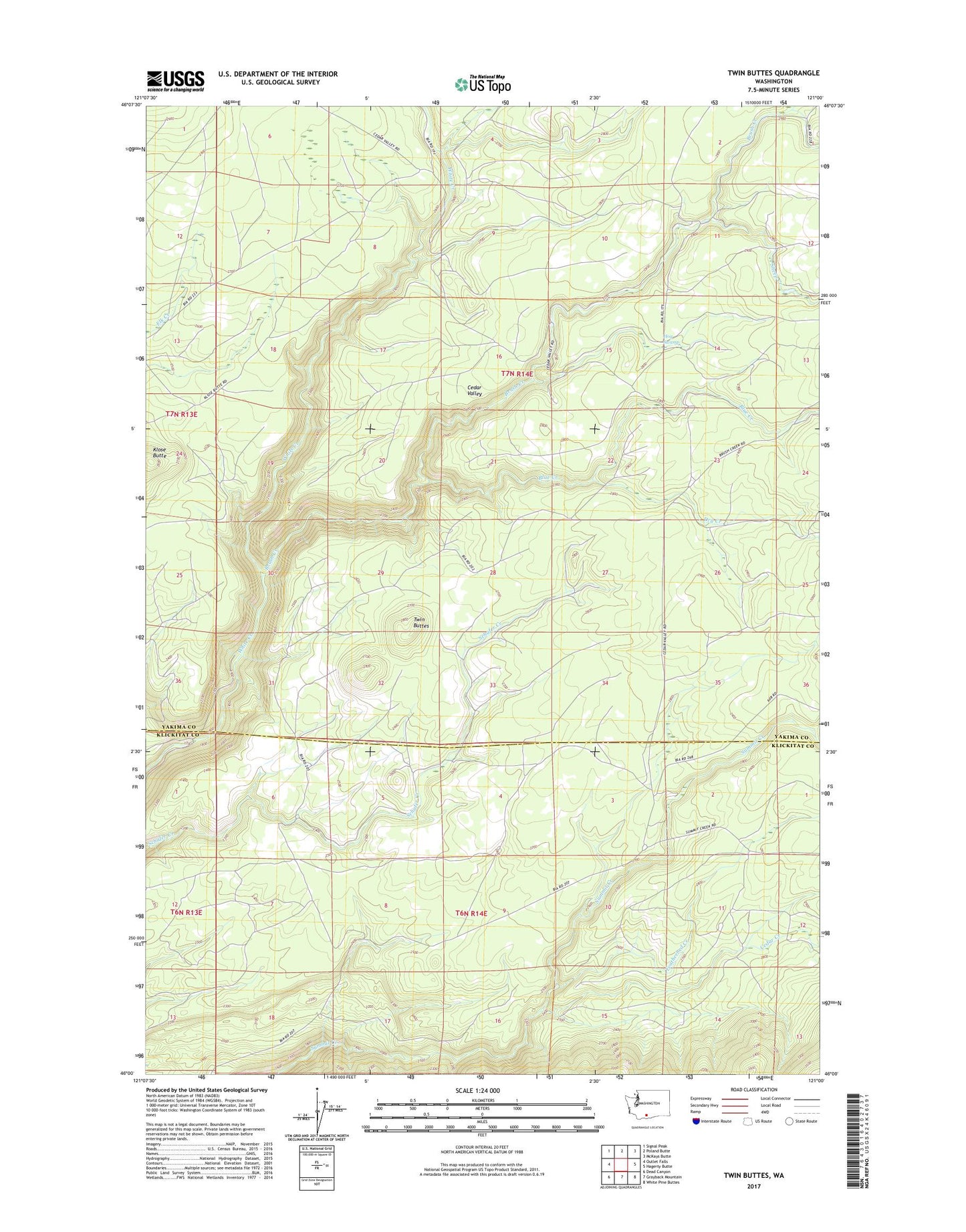
2020 topographic map quadrangle Twin Buttes in the state of Washington. Scale: 1:24000. Based on the newly updated USGS 7.5' US Topo map series, this map is in the following counties: Yakima, Klickitat. The map contains contour data, water features, and other items you are used to seeing on USGS maps, but also has updated roads and other features. This is the next generation of topographic maps. Printed on high-quality waterproof paper with UV fade-resistant inks.
Quads adjacent to this one:
West: Outlet Falls
Northwest: Signal Peak
North: Poland Butte
Northeast: McKays Butte
East: Hagerty Butte
Southeast: White Pine Buttes
South: Grayback Mountain
Southwest: Dead Canyon
Contains the following named places: Blue Creek, Brush Creek, Cedar Creek, Dry Creek, Featherbed Creek, Hog Swamp, Klose Butte, Sheep Creek, Twin Buttes, Yakama Nation Reservation Division