MyTopo
Wades Bar Washington US Topo Map
Couldn't load pickup availability
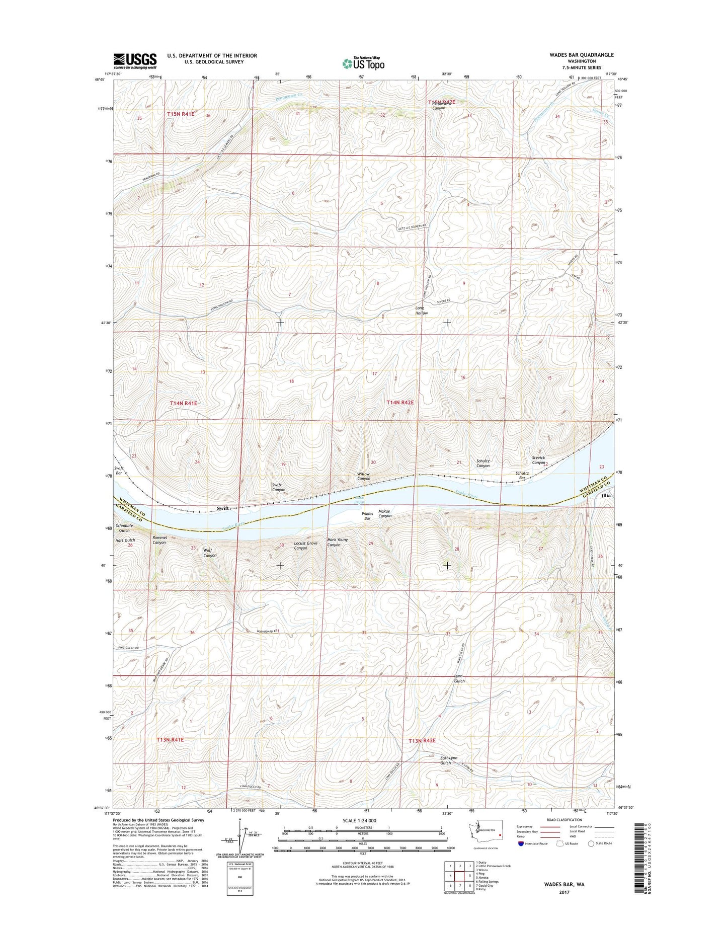
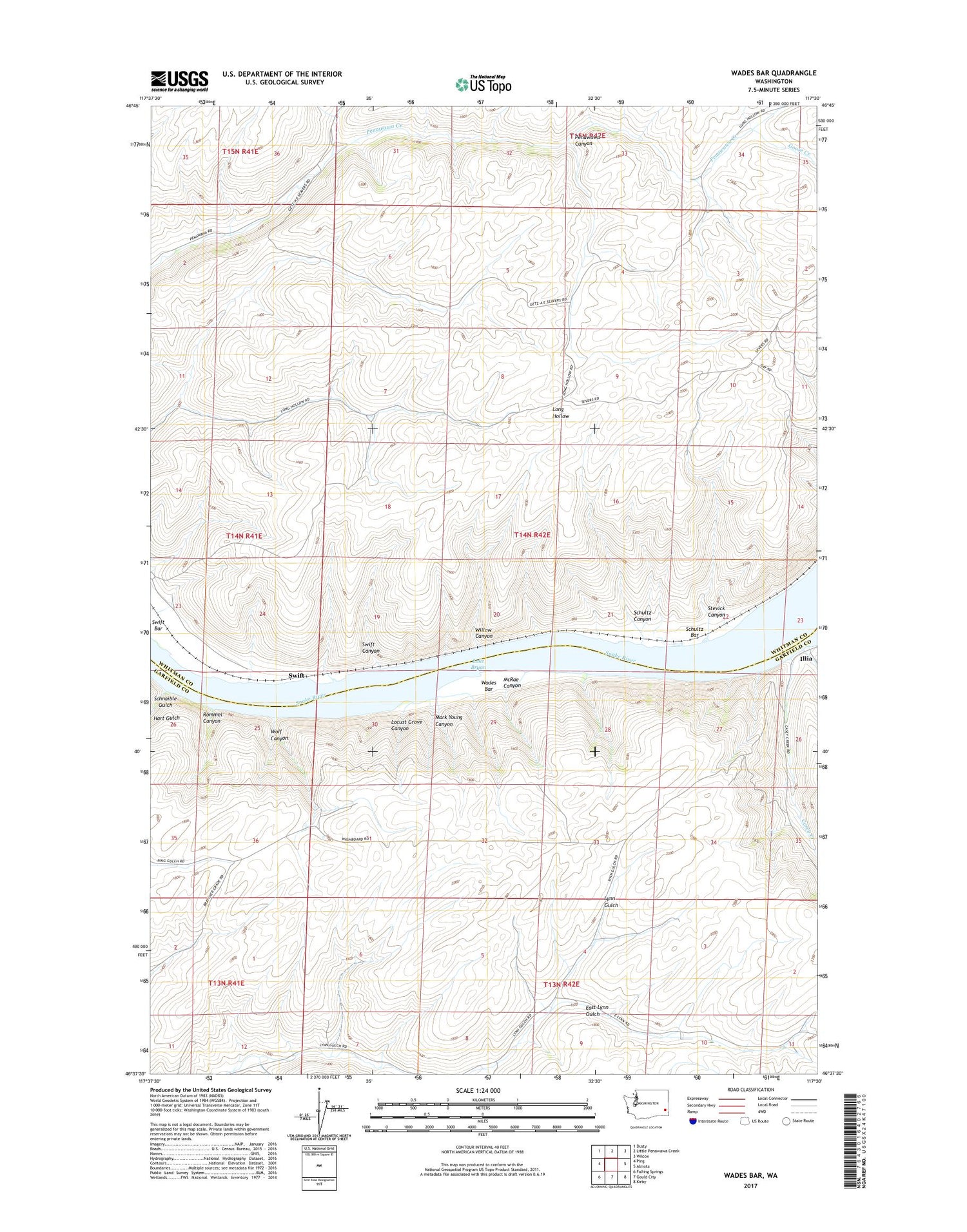
2020 topographic map quadrangle Wades Bar in the state of Washington. Scale: 1:24000. Based on the newly updated USGS 7.5' US Topo map series, this map is in the following counties: Whitman, Garfield. The map contains contour data, water features, and other items you are used to seeing on USGS maps, but also has updated roads and other features. This is the next generation of topographic maps. Printed on high-quality waterproof paper with UV fade-resistant inks.
Quads adjacent to this one:
West: Ping
Northwest: Dusty
North: Little Penawawa Creek
Northeast: Wilcox
East: Almota
Southeast: Kirby
South: Gould City
Southwest: Falling Springs
Contains the following named places: Casey Creek, East Lynn Gulch, Goose Creek, Hart Gulch, Illia, Little Penawawa Creek, Locust Grove Canyon, Long Hollow Trail, Mark Young Canyon, McRae Canyon, Rommel Canyon, Schnaible Gulch, Schultz, Schultz Bar, Schultz Canyon, Stevick Canyon, Swift, Swift Bar, Swift Canyon, Swift Station, Wades Bar, Willow Canyon, Wolf Canyon