MyTopo
Kirby Washington US Topo Map
Couldn't load pickup availability
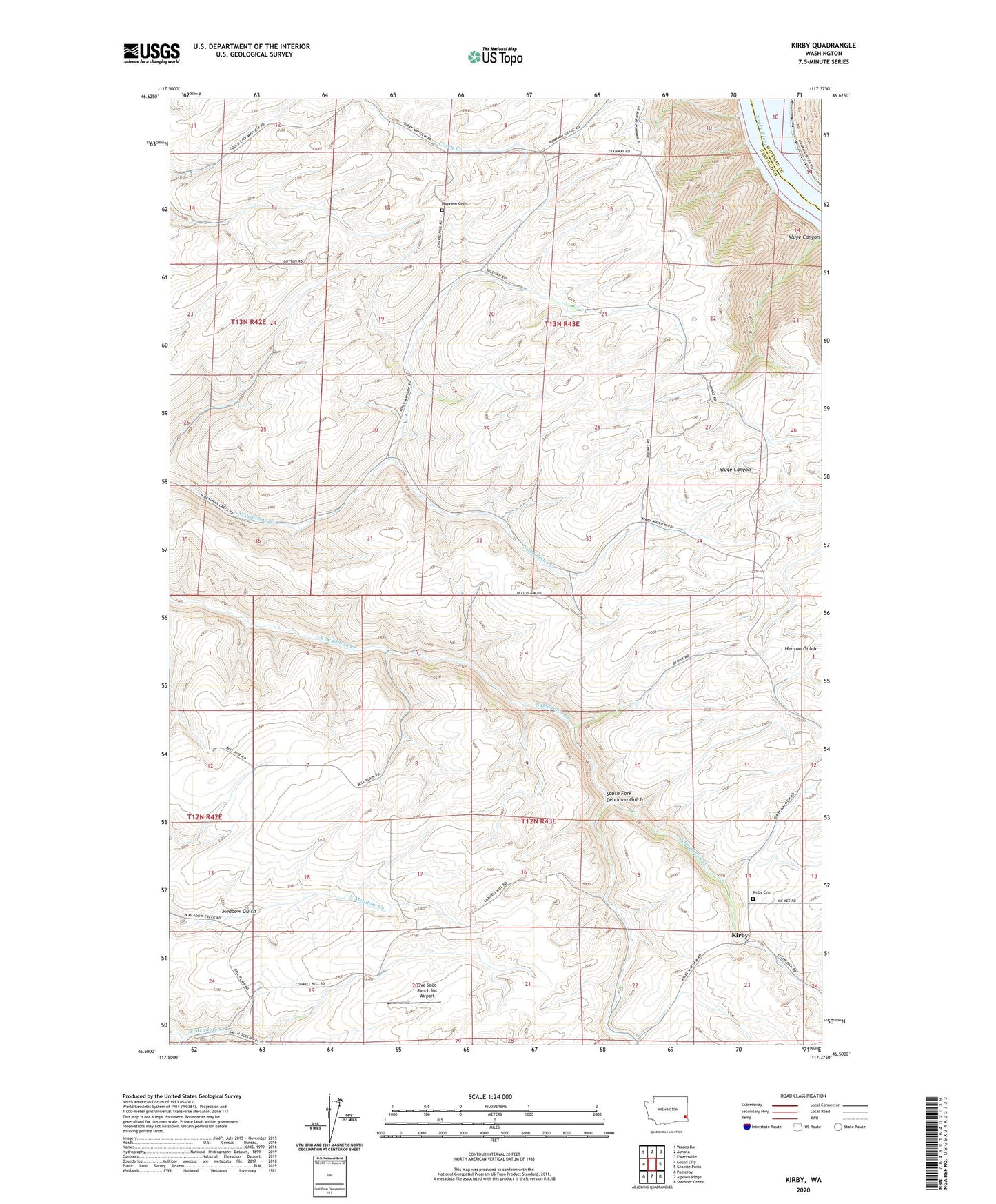
2023 topographic map quadrangle Kirby in the state of Washington. Scale: 1:24000. Based on the newly updated USGS 7.5' US Topo map series, this map is in the following counties: Garfield, Whitman. The map contains contour data, water features, and other items you are used to seeing on USGS maps, but also has updated roads and other features. This is the next generation of topographic maps. Printed on high-quality waterproof paper with UV fade-resistant inks.
Quads adjacent to this one:
West: Gould City
Northwest: Wades Bar
North: Almota
Northeast: Ewartsville
East: Granite Point
Southeast: Stember Creek
South: Alpowa Ridge
Southwest: Pomeroy
This map covers the same area as the classic USGS quad with code o46117e4.
Contains the following named places: Crum, Dye Seed Ranch Inc Airport, Heaton Gulch, Kirby, Kirby Cemetery, Mayview Cemetery, Meadow Gulch, South Fork Deadman Gulch