MyTopo
Waukon Washington US Topo Map
Couldn't load pickup availability
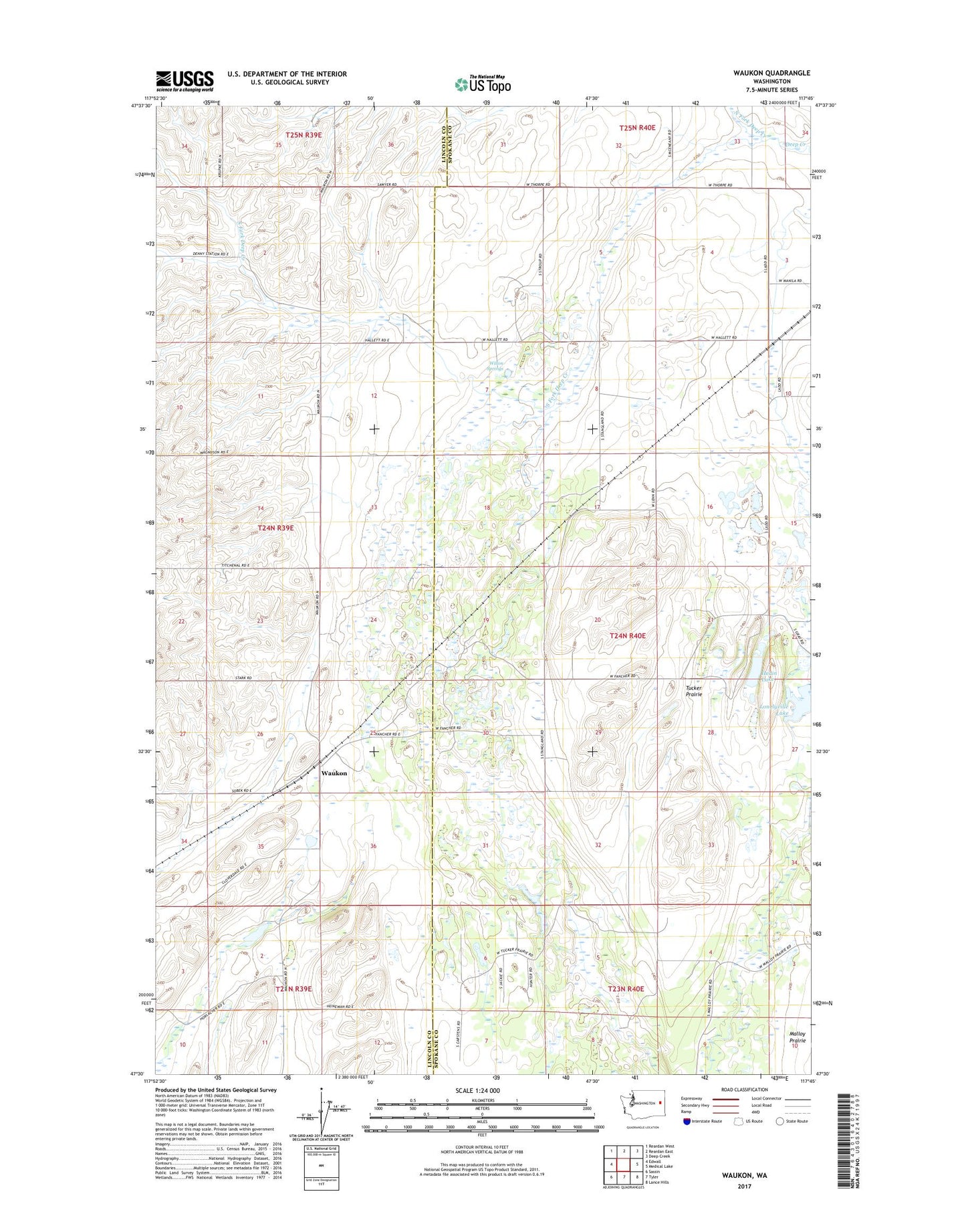
2023 topographic map quadrangle Waukon in the state of Washington. Scale: 1:24000. Based on the newly updated USGS 7.5' US Topo map series, this map is in the following counties: Spokane, Lincoln. The map contains contour data, water features, and other items you are used to seeing on USGS maps, but also has updated roads and other features. This is the next generation of topographic maps. Printed on high-quality waterproof paper with UV fade-resistant inks.
Quads adjacent to this one:
West: Edwall
Northwest: Reardan West
North: Reardan East
Northeast: Deep Creek
East: Medical Lake
Southeast: Lance Hills
South: Tyler
Southwest: Sassin
This map covers the same area as the classic USGS quad with code o47117e7.
Contains the following named places: Hedin Lake, Lonelyville Lake, North Fork Deep Creek, South Fork Deep Creek, Tucker Prairie, Waukon, Willon Springs