MyTopo
Wilbur Washington US Topo Map
Couldn't load pickup availability
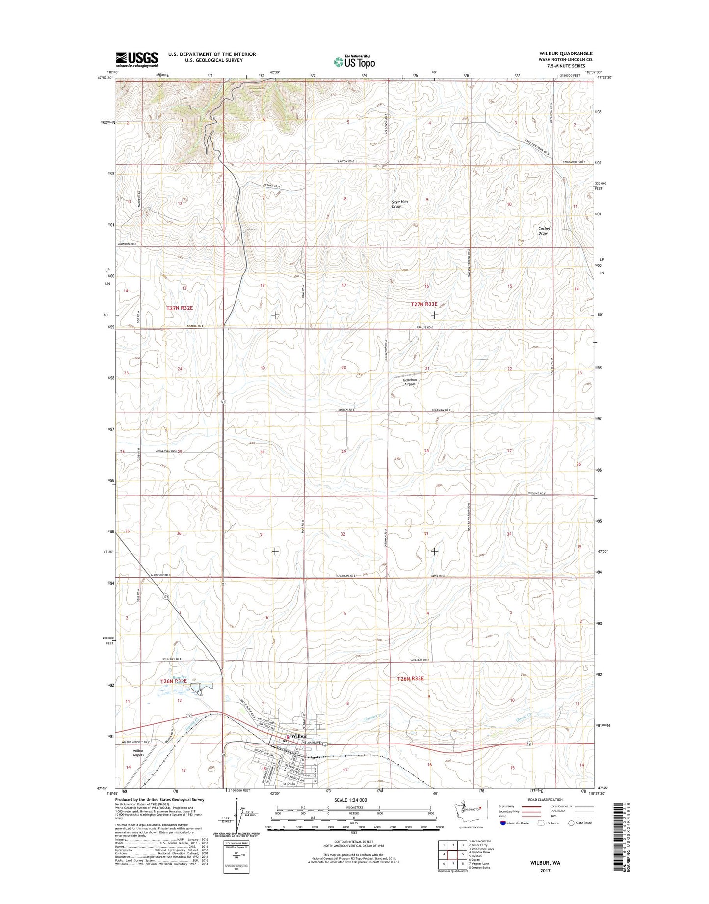
2023 topographic map quadrangle Wilbur in the state of Washington. Scale: 1:24000. Based on the newly updated USGS 7.5' US Topo map series, this map is in the following counties: Lincoln. The map contains contour data, water features, and other items you are used to seeing on USGS maps, but also has updated roads and other features. This is the next generation of topographic maps. Printed on high-quality waterproof paper with UV fade-resistant inks.
Quads adjacent to this one:
West: Broadax Draw
Northwest: Mica Mountain
North: Keller Ferry
Northeast: Whitestone Rock
East: Creston
Southeast: Creston Butte
South: Wagner Lake
Southwest: Govan
This map covers the same area as the classic USGS quad with code o47118g6.
Contains the following named places: Bandys Lake, Gollehon Airport, Town of Wilbur, Wilbur, Wilbur Airport, Wilbur Elementary School, Wilbur Fire Department, Wilbur High School, Wilbur Police Department, Wilbur Post Office