MyTopo
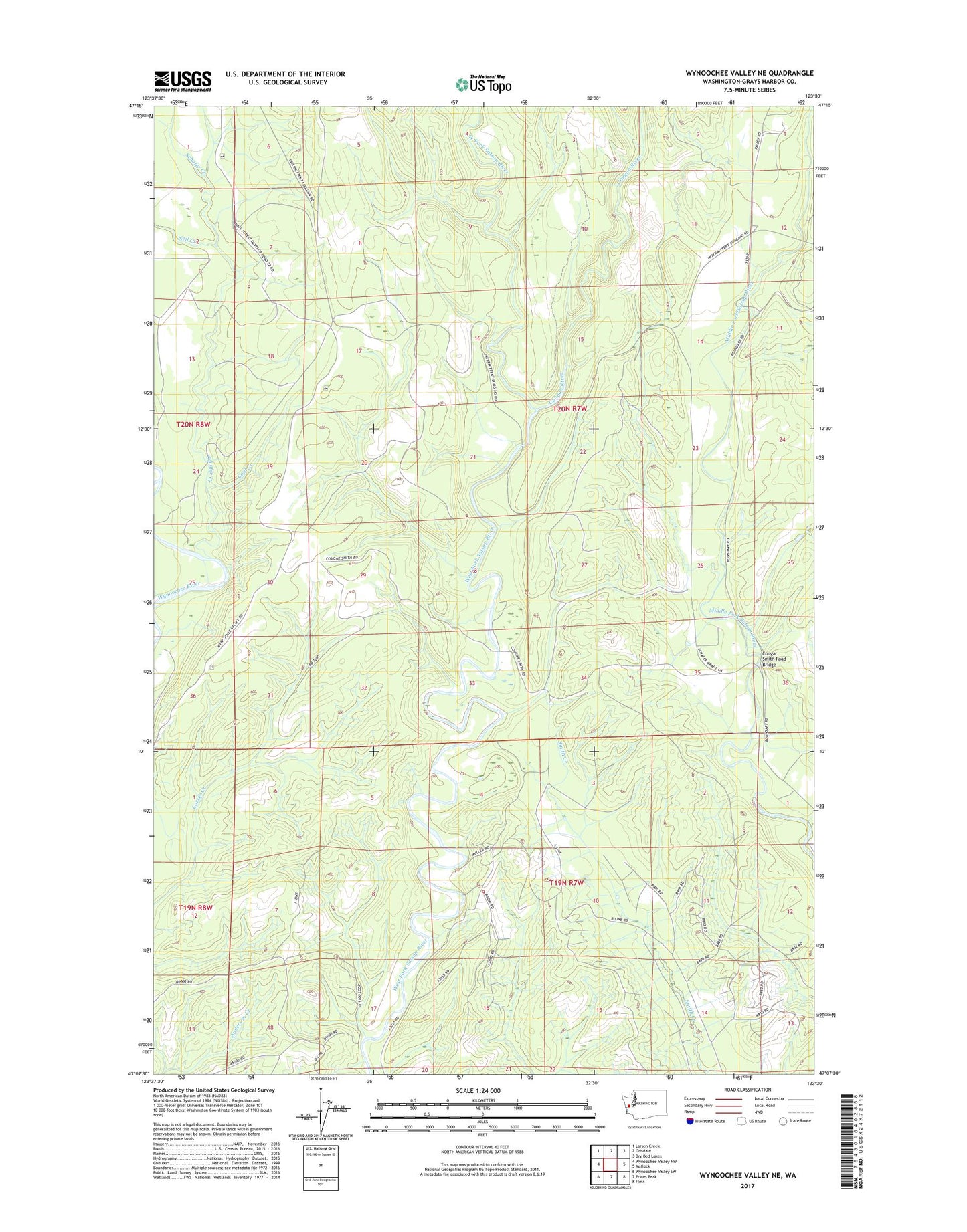
Wynoochee Valley NE Washington US Topo Map
Couldn't load pickup availability
Also explore the Wynoochee Valley NE Forest Service Topo of this same quad for updated USFS data
2023 topographic map quadrangle Wynoochee Valley NE in the state of Washington. Scale: 1:24000. Based on the newly updated USGS 7.5' US Topo map series, this map is in the following counties: Grays Harbor. The map contains contour data, water features, and other items you are used to seeing on USGS maps, but also has updated roads and other features. This is the next generation of topographic maps. Printed on high-quality waterproof paper with UV fade-resistant inks.
Quads adjacent to this one:
West: Wynoochee Valley NW
Northwest: Larsen Creek
North: Grisdale
Northeast: Dry Bed Lakes
East: Matlock
Southeast: Elma
South: Prices Peak
Southwest: Wynoochee Valley SW
This map covers the same area as the classic USGS quad with code o47123b5.
Contains the following named places: Canyon River, Coal Creek, Cougar Smith Road Bridge, Mobray Lookout, Montesano Division, Neil Creek, Schafer Creek, ZIP Code: 98563