MyTopo
Capon Springs West Virginia US Topo Map
Couldn't load pickup availability
Also explore the Capon Springs Forest Service Topo of this same quad for updated USFS data
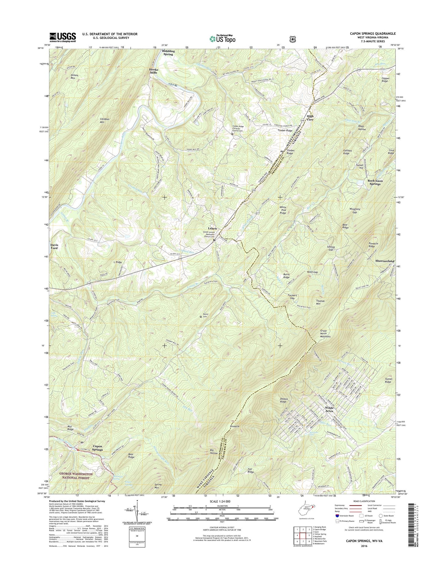
2023 topographic map quadrangle Capon Springs in the states of West Virginia, Virginia. Scale: 1:24000. Based on the newly updated USGS 7.5' US Topo map series, this map is in the following counties: Hampshire, Frederick. The map contains contour data, water features, and other items you are used to seeing on USGS maps, but also has updated roads and other features. This is the next generation of topographic maps. Printed on high-quality waterproof paper with UV fade-resistant inks.
Quads adjacent to this one:
West: Yellow Spring
Northwest: Hanging Rock
North: Capon Bridge
Northeast: Gore
East: Hayfield
Southeast: Middletown
South: Mountain Falls
Southwest: Wardensville
This map covers the same area as the classic USGS quad with code o39078b4.
Contains the following named places: Arnold Ford, Bear Ridge, Big Hollow, Burnt Ridge, Camp Buckhorn, Camp Green Briar, Camp Rim Rock, Camp Rock Enon, Camp Tall Timbers, Camp White Mountain, Capon School, Capon Springs, Capon Springs Post Office, Capon Springs Resort Golf Course, Capon Springs Volunteer Fire and Rescue Company, Christian Church, Cold Spring, Crag Rocks, Crooked Run, Crooked Run Lake Dam, Deep Hollow, Double Ridge, Dunlap Ford, Fall Ridge, Farmers Gap, Finger Lake Estates, Friendly Grove School, Gallows Ridge, High View, High View Post Office, Himmelwright Run, Hooks Mills, Hunters Valley, Jericho, L Ridge, L Ridge School, Laurel Run, Lehew, Loman Branch, Middle Ridge, Mount Salem Church, Mountain Falls, Mountain Falls Park, Mountain Spring, Mountain View School, Nero, North Mountain Estates, North Mountain Neighborhood Park, Pinnacle, Pinnacle Ridge, Pooles Ford, Racey Cemetery, Red Bud School, Reed Creek, Reed Gap, Riverdale School, Rock Enon, Rock Enon School, Rock Enon Springs, Sawlog Gap, Shiloh, Shiloh Church, Shiloh United Methodist Church Cemetery, Sunset Hill, Thomas Mountain, Timber Ridge, Timber Ridge Christian Church Cemetery, Tunnel Ridge, White Pine Branch, White Pine Ridge, Wilde Acres, Wingfield Gap, WTRM-FM (Winchester), WVEP-FM (Martinsburg), ZIP Codes: 26808, 26823


