MyTopo
Cornstalk West Virginia US Topo Map
Couldn't load pickup availability
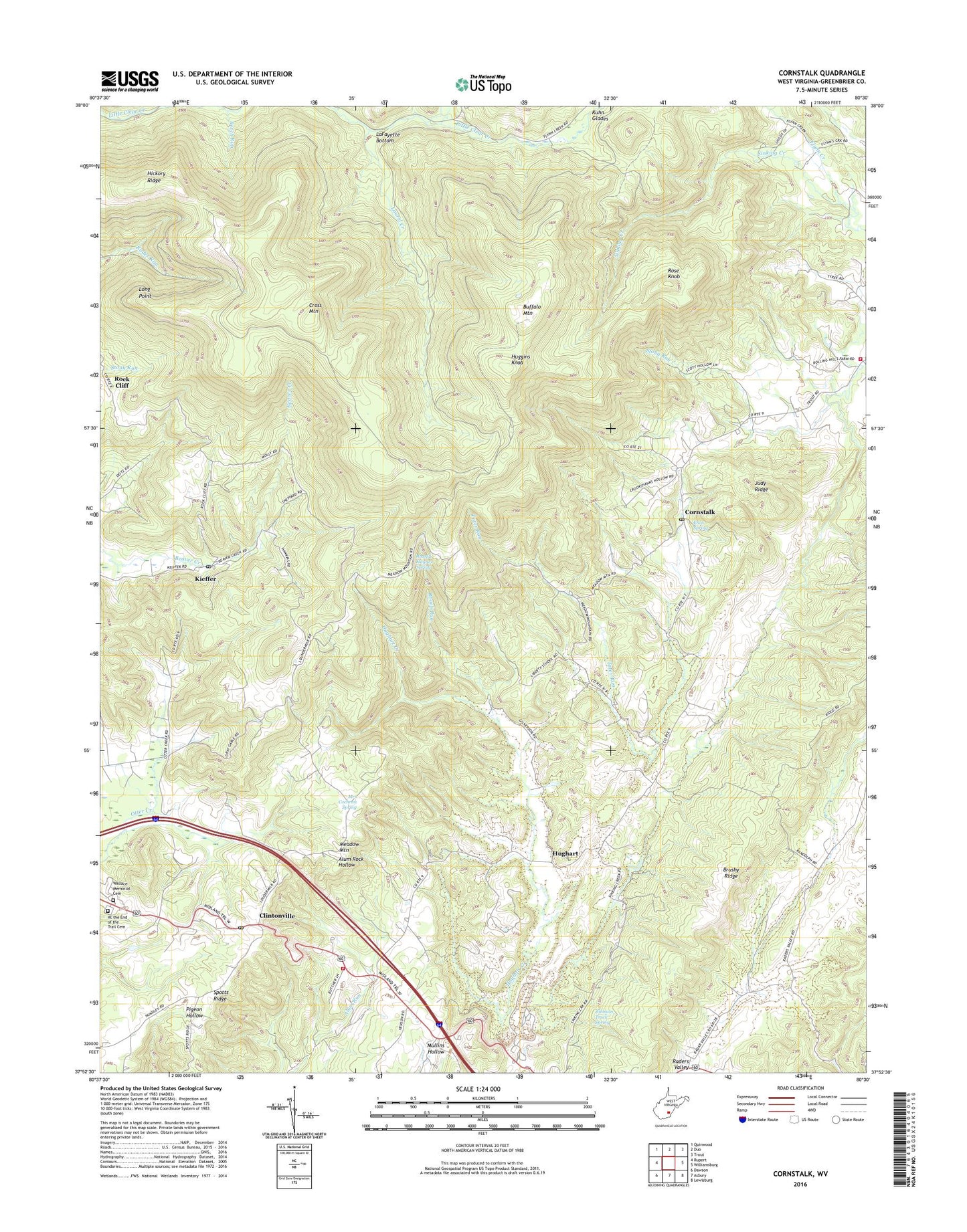
2019 topographic map quadrangle Cornstalk in the state of West Virginia. Scale: 1:24000. Based on the newly updated USGS 7.5' US Topo map series, this map is in the following counties: Greenbrier. The map contains contour data, water features, and other items you are used to seeing on USGS maps, but also has updated roads and other features. This is the next generation of topographic maps. Printed on high-quality waterproof paper with UV fade-resistant inks.
Quads adjacent to this one:
West: Rupert
Northwest: Quinwood
North: Duo
Northeast: Trout
East: Williamsburg
Southeast: Lewisburg
South: Asbury
Southwest: Dawson
Contains the following named places: At the End of the Trail Cemetery, Beaver Creek Baptist Church, Beech Run, Brushy Flat School, Brushy Ridge, Buffalo Mountain, Clintonville, Clintonville Post Office, Clintonville Volunteer Fire Department, Cold Spring Church, Cornstalk, Cornstalk Post Office, Cross Mountain, Enox Spring, Flynn Creek, Hickory Ridge, Hopewell School, Huggins Knob, Hughart, Hughart Creek, James Chapel United Methodist Church, Johnson Truck Spring, Judy Ridge, Kieffer, Kieffer Post Office, Kuhn Branch, LaFayette Bottom, Laurel Creek, Liberty School, Long Point, Meadow Mountain, Meadow Mountain School, Mount Prospect School, Mrs Cochran Spring, New Bethel Church, New Salem Church, Oak Grove School, Pembroke School, Pleasant Valley School, Roach Run, Rock Cliff, Rock Cliff School, Rose Knob, Russell Haynes Spring, Sinking Creek Baptist Church, Spotts Ridge School, Stong Run, Sunrise Chapel, Tater Run, Wallace Branch, Wallace Memorial Cemetery, Western District, Westview School, Williamsburg Rescue Squad Incorporated, Williamsburg Volunteer Fire Department, ZIP Code: 24931