MyTopo
Cottageville West Virginia US Topo Map
Couldn't load pickup availability
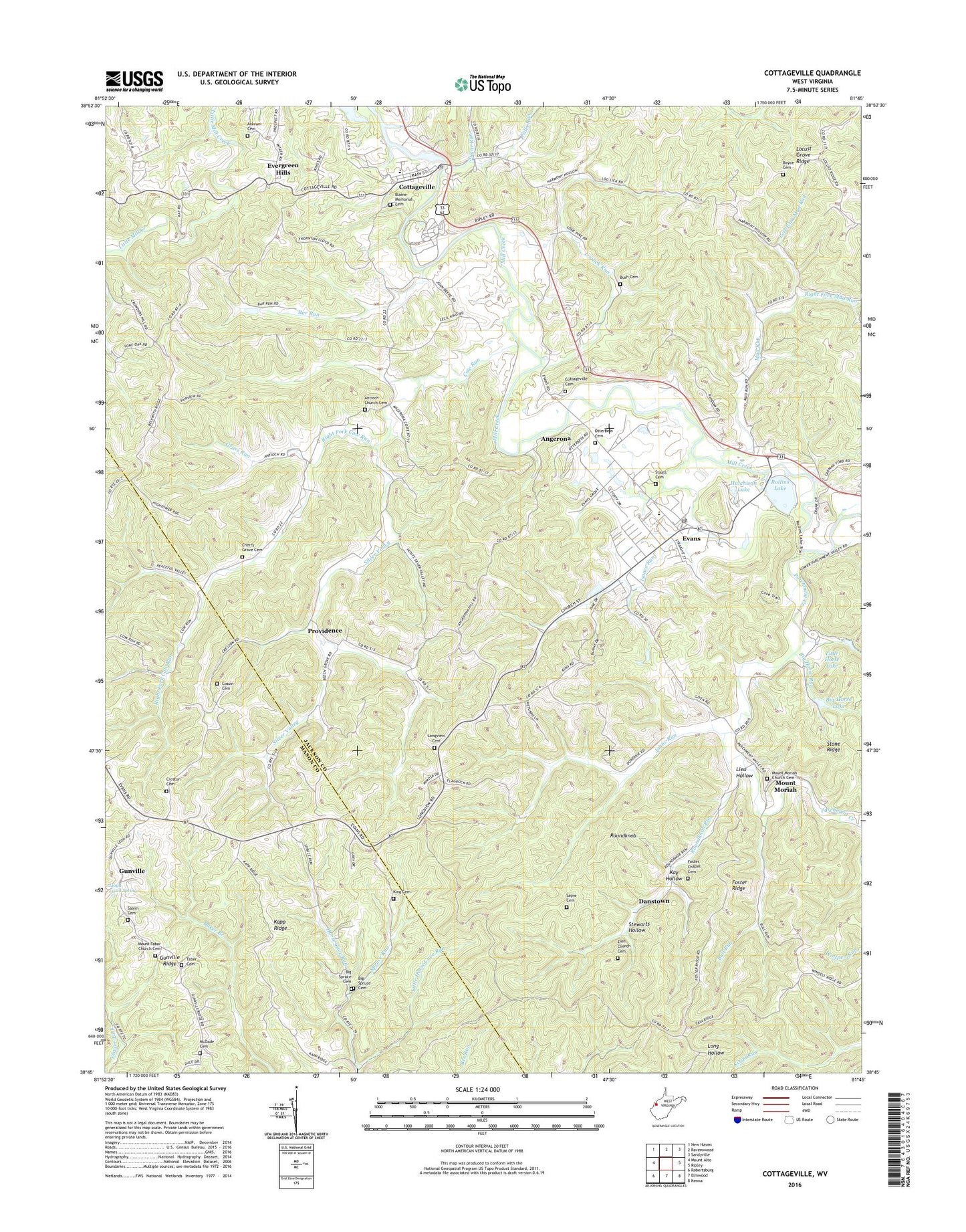
2023 topographic map quadrangle Cottageville in the state of West Virginia. Scale: 1:24000. Based on the newly updated USGS 7.5' US Topo map series, this map is in the following counties: Jackson, Mason. The map contains contour data, water features, and other items you are used to seeing on USGS maps, but also has updated roads and other features. This is the next generation of topographic maps. Printed on high-quality waterproof paper with UV fade-resistant inks.
Quads adjacent to this one:
West: Mount Alto
Northwest: New Haven
North: Ravenswood
Northeast: Sandyville
East: Ripley
Southeast: Kenna
South: Elmwood
Southwest: Robertsburg
This map covers the same area as the classic USGS quad with code o38081g7.
Contains the following named places: Angerona, Ankrum Cemetery, Antioch Church, Antioch Church Cemetery, Bar Run, Beech Grove School, Big Horse Lake, Big Horse Run, Big Spruce Cemetery, Big Spruce School, Blaine Memorial Cemetery, Boyce Cemetery, Brown School, Bull Run, Bush Cemetery, Cherry Grove Cemetery, Cossin Cemetery, Cottageville, Cottageville Cemetery, Cottageville Census Designated Place, Cottageville Church, Cottageville Elementary School, Cottageville Post Office, Cow Run, Creston Cemetery, Creston Church, Danstown, Evans, Evans Elementary School, Evans Post Office, Evergreen Hills, Fairview Church, Fairview School, Falls Run, Flagrock School, Foster Chapel, Foster Chapel Cemetery, Foster Ridge, Grass Run, Gunville, Gunville Ridge, Horse Cave Run, Huntsville, Hutchinson Farm Pond Dam, Hutchison Lake, Isaacs Run, Johns Run, Kapp Ridge, Kay Hollow, King Cemetery, Left Fork Cow Run, Left Fork Mud Run, Lieu Hollow, Little Horse Cave Run, Little Horse Lake, Lloyd Casto Spring, Locust Grove Ridge, Locust Grove School, Loglick Run, Lone Oak School, Lonepine School, Long Bottom Church, Longview Cemetery, Longview Church, Longview School, Martin Chapel, McDade Cemetery, McKinley School, Mount Moriah, Mount Moriah Church Cemetery, Mount Tabor Church Cemetery, Mount Tabor Community Church Cemetery, Mountain Flower School, Mud Run, New Interest School, Otterbein Cemetery, Otterbein Church, Parchment Creek, Providence, Right Fork Cow Run, Right Fork Mud Run, Rollins Lake, Rollins Lake Wildlife Management Area, Roundknob, Roundknob Run, Salem Cemetery, Sayre Cemetery, Silver Valley, Silver Valley School, Staats Cemetery, Stewarts Hollow, Sugar Run, Tabor Church, Victory School, Walnut Grove School, West Virginia Baptist Church Camp Dam, Western District, Wv Baptist Church Camp Dam, Zion Church Cemetery, ZIP Codes: 25239, 25241


