MyTopo
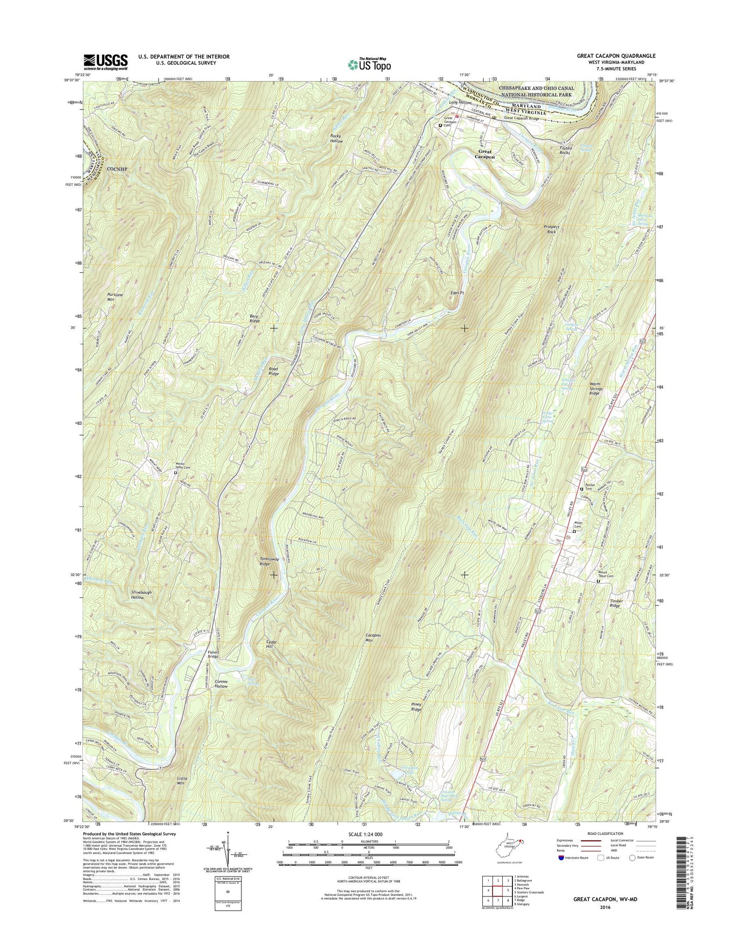
Great Cacapon West Virginia US Topo Map
Couldn't load pickup availability
2023 topographic map quadrangle Great Cacapon in the states of West Virginia, Maryland. Scale: 1:24000. Based on the newly updated USGS 7.5' US Topo map series, this map is in the following counties: Morgan, Washington, Allegany. The map contains contour data, water features, and other items you are used to seeing on USGS maps, but also has updated roads and other features. This is the next generation of topographic maps. Printed on high-quality waterproof paper with UV fade-resistant inks.
Quads adjacent to this one:
West: Paw Paw
Northwest: Artemas
North: Bellegrove
East: Stotlers Crossroads
Southeast: Glengary
South: Ridge
Southwest: Largent
This map covers the same area as the classic USGS quad with code o39078e3.
Contains the following named places: Bare Ridge, Berkeley Springs Seventh Day Adventist School, Bethel Cemetery, Bethel United Methodist Church, Cacapon Lake, Cacapon New Water Supply Dam, Cacapon Resort State Park, Cacapon River, Cacapon State Park Resort Golf Course, Cacapon State Park Spring, Cedar Hill, Connor Hollow, Constant Run, Coolfont Dam, Coolfont Spring, District 1, Edes Fort, Fahren Spring, Fisher Ford, Fishers Bridge, Fluted Rocks, Great Cacapon, Great Cacapon Cemetery, Great Cacapon Census Designated Place, Great Cacapon Elementary School, Great Cacapon Post Office, Great Cacapon Volunteer Fire Department, Great Capacon Bridge, Harland Ford, Lock 54, Long Hollow, Long Hollow Run, Middle Fork Indian Run, Miller Cemetery, Mitchum Farm Spring, Morgan County, Mount Garfield School, Mount Nebo Cemetery, Mount Nebo Church, Mount Tabor United Methodist Church, Mount Tabor United Methodist Church Cemetery, Neely Farm Spring, North Indian Run, Old Cacapon Power Dam, Omps, Peoples Christian Academy, Piney Ridge, Prospect Rock, Purslane Mountain, Road Ridge, Rock Gap, Rock Gap Run, Rockwell Run, Rocky Hollow, South Fork Indian Run, Spring Ford, Stinebaugh Hollow, Tonoloway Ridge, Unnamed Lake on Tr-Sleepy Creek Dam, Whisner Farm Spring, Whisners Run, Wiggins Run, Ziler Spring, Ziver Ford, ZIP Code: 25422


