MyTopo
Ridge West Virginia US Topo Map
Couldn't load pickup availability
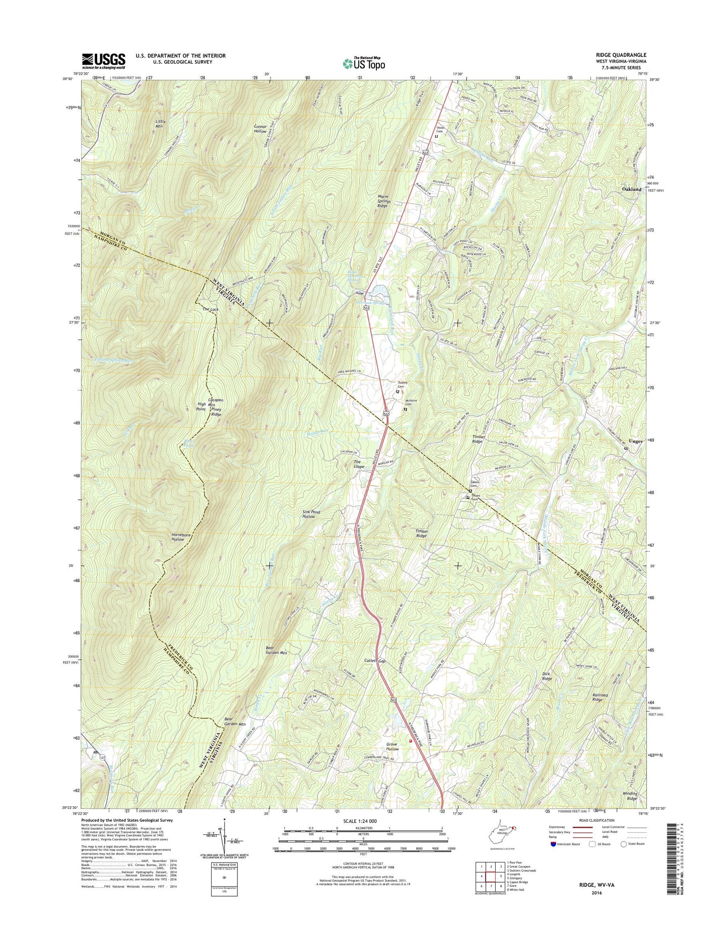
2023 topographic map quadrangle Ridge in the states of West Virginia, Virginia. Scale: 1:24000. Based on the newly updated USGS 7.5' US Topo map series, this map is in the following counties: Morgan, Frederick, Hampshire. The map contains contour data, water features, and other items you are used to seeing on USGS maps, but also has updated roads and other features. This is the next generation of topographic maps. Printed on high-quality waterproof paper with UV fade-resistant inks.
Quads adjacent to this one:
West: Largent
Northwest: Paw Paw
North: Great Cacapon
Northeast: Stotlers Crossroads
East: Glengary
Southeast: White Hall
South: Gore
Southwest: Capon Bridge
This map covers the same area as the classic USGS quad with code o39078d3.
Contains the following named places: Beacon Baptist Church Cemetery, Bear Garden Run, Big Run, Bills Pond, Birch Grove School, Bloomery, Bloomery Post Office, Bloomery Presbyterian Church, Breakneck Run, Cacapon Mountain, Camp Win-Wah, Catlett Gap, Columbia Baptist Church, Dick Ridge, Dicks School, Fairview School, Files Chapel, Frederick County Fire and Rescue Department Station 20 - Reynolds Store Volunteer Fire and Rescue, Hands Run, High Point, Hinckle, Indian Run, Leary Educational Center, Little Mountain, McIntire Cemetery, Morton Grove, Morton Grove School, Oakland, Old Romney Grade, Omps Farm Spring, Overmale Springs, Piney Ridge, Railroad Ridge, Reynolds Store, Reynolds Store Neighborhood Park, Ridge, Ridge Hatchery Spring, Ridge State Fish Hatchery, Salem Cemetery, Salem Church, Salem Methodist Episcopal Church, Sink Pond Hollow, The Lock, The Loope, Timber Ridge Church, Timber Ridge School, Touhey Cemetery, Unger, Unger Post Office, Union Chapel Cemetery, Union Chapel United Methodist Church, Warm Springs Ridge, Wesley Chapel, ZIP Code: 22625


