MyTopo
Mount Olive West Virginia US Topo Map
Couldn't load pickup availability
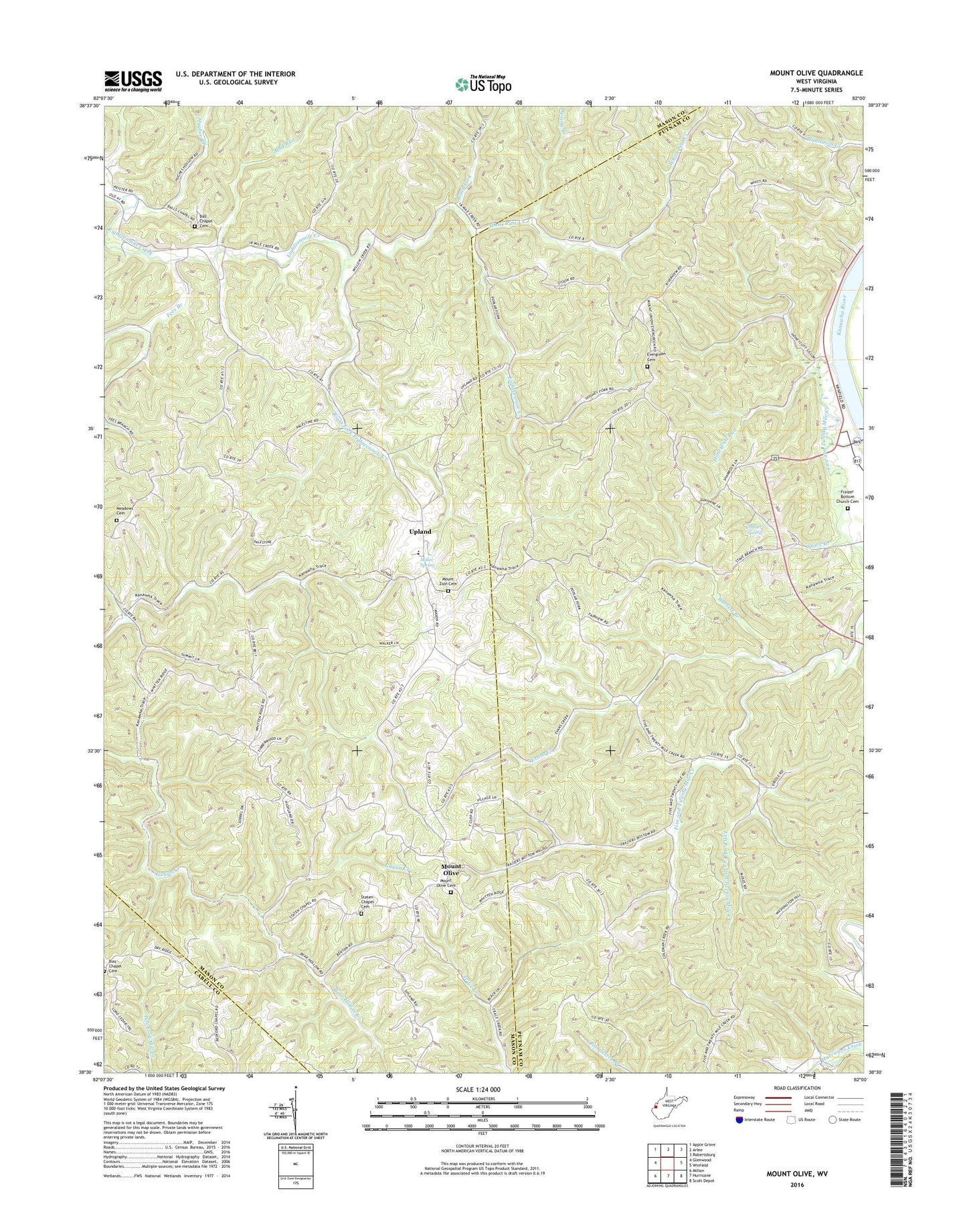
2019 topographic map quadrangle Mount Olive in the state of West Virginia. Scale: 1:24000. Based on the newly updated USGS 7.5' US Topo map series, this map is in the following counties: Mason, Putnam, Cabell. The map contains contour data, water features, and other items you are used to seeing on USGS maps, but also has updated roads and other features. This is the next generation of topographic maps. Printed on high-quality waterproof paper with UV fade-resistant inks.
Quads adjacent to this one:
West: Glenwood
Northwest: Apple Grove
North: Arlee
Northeast: Robertsburg
East: Winfield
Southeast: Scott Depot
South: Hurricane
Southwest: Milton
Contains the following named places: Ball Chapel, Ball Chapel Cemetery, Ball Chapel Church, Barnett Branch, Bias Chapel, Bias Chapel Cemetery, Evans Creek, Evergreen Cemetery, Evergreen Church, Evergreen School, Fees Branch, Five and Twenty Mile Church, Five and Twenty Mile Creek, Fraizers Bottom United Methodists Church Cemetery, Frazier Spring, Hannan District, Hannan Junior - Senior High School, Hannan Public Library, Hannan School, Honeycutt Run, Hughes Branch, Left Fork Five and Twenty Mile Creek, Meadows Cemetery, Miller Spring, Minnicks Heliport, Mount Olive, Mount Olive Cemetery, Mount Zion Cemetery, Mount Zion Church, Mud Run, Pine Grove School, Red Joe School, Right Fork Eighteenmile Creek, Riverview School, Road Fork, Spring Branch, Staten Chapel, Staten Chapel Cemetery, Stave Branch, Upland, White Pine Creek, ZIP Codes: 25082, 25503