MyTopo
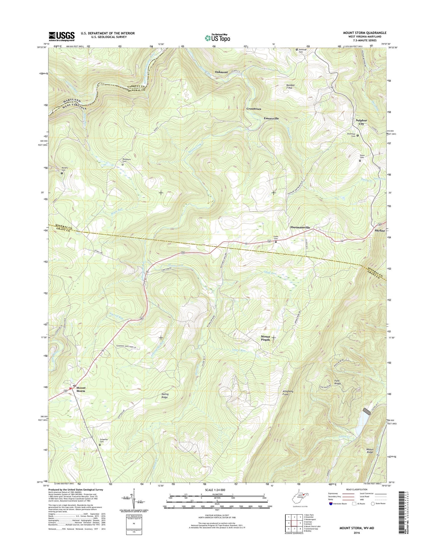
Mount Storm West Virginia US Topo Map
Couldn't load pickup availability
2023 topographic map quadrangle Mount Storm in the states of West Virginia, Maryland. Scale: 1:24000. Based on the newly updated USGS 7.5' US Topo map series, this map is in the following counties: Grant, Mineral, Garrett. The map contains contour data, water features, and other items you are used to seeing on USGS maps, but also has updated roads and other features. This is the next generation of topographic maps. Printed on high-quality waterproof paper with UV fade-resistant inks.
Quads adjacent to this one:
West: Gorman
Northwest: Deer Park
North: Kitzmiller
East: Antioch
Southeast: Medley
South: Greenland Gap
Southwest: Mount Storm Lake
This map covers the same area as the classic USGS quad with code o39079c2.
Contains the following named places: Allegheny Mining Heliport, Blackburn Cemetery, Blake Chapel, Crosstown, Dixon Cemetery, Duling Ridge, Emory Creek, Emoryville, Empire School, Evans Cemetery, Glade Run, Gleason, Grant Memorial Hospital Ambulance, Hartmansville, Johnnycake Run, Kalbough Cemetery, Kitzmiller Cemetery, Laurel Run, Lostland Run, Maple Run, Mount Pisgah, Mount Pisgah Church, Mount Storm, Mount Storm Post Office, Mount Storm Volunteer Fire Department, Mount Vernon School, Murphy Cemetery, Nethken School, New Creek Structure 14 Dam, Number 15, Number 7 Hill, Oakmont, Rehoboth Church, Sand Spring, Schaeffer Cemetery, Schell School, Skyline, Sulphur City, Sulphur City Church, Terra Firma School, The Eddy, Union High School, Wabash, White Hall School, Wycroff Run, ZIP Code: 26717


