MyTopo
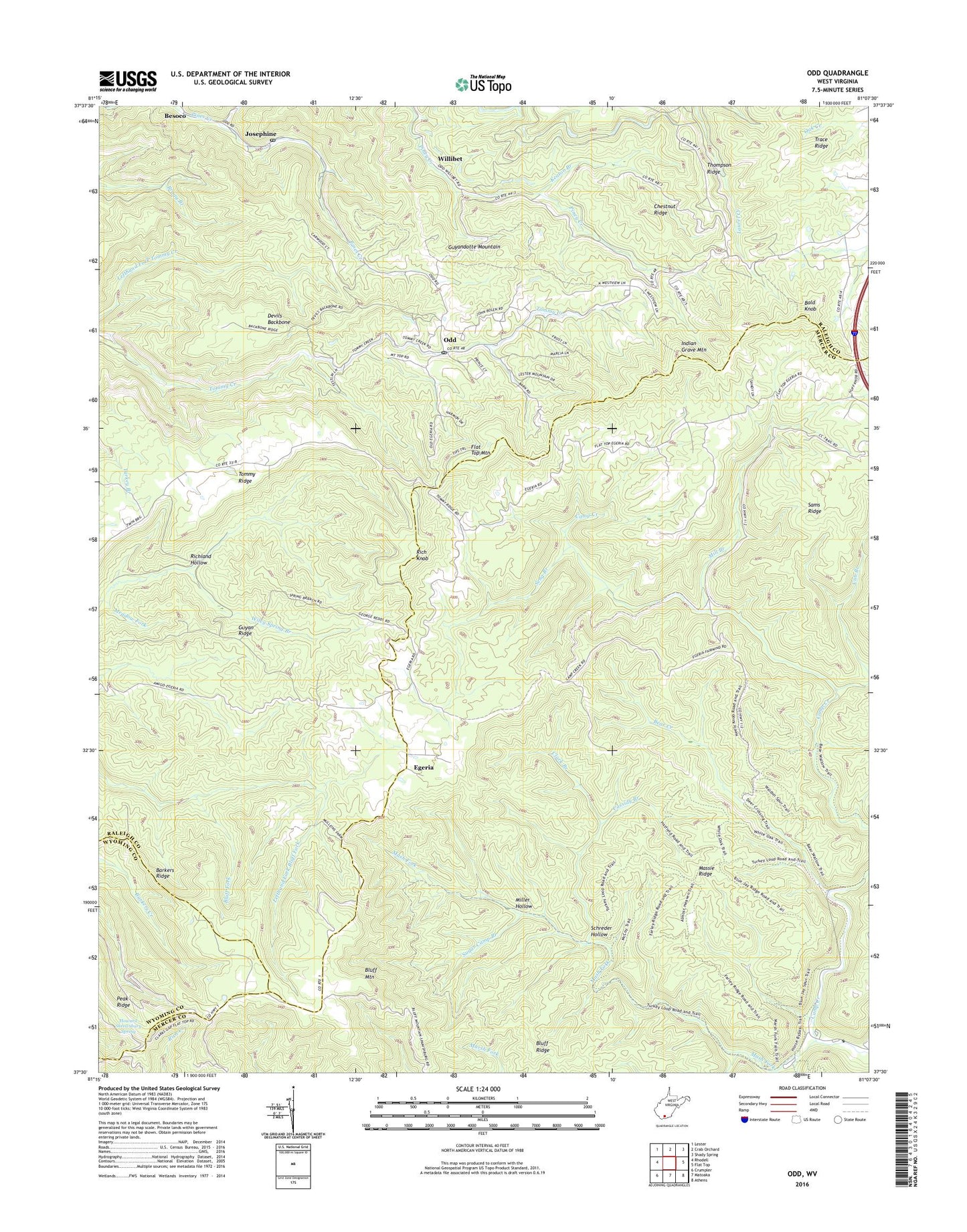
Odd West Virginia US Topo Map
Couldn't load pickup availability
2023 topographic map quadrangle Odd in the state of West Virginia. Scale: 1:24000. Based on the newly updated USGS 7.5' US Topo map series, this map is in the following counties: Raleigh, Mercer, Wyoming. The map contains contour data, water features, and other items you are used to seeing on USGS maps, but also has updated roads and other features. This is the next generation of topographic maps. Printed on high-quality waterproof paper with UV fade-resistant inks.
Quads adjacent to this one:
West: Rhodell
Northwest: Lester
North: Crab Orchard
Northeast: Shady Spring
East: Flat Top
Southeast: Athens
South: Matoaka
Southwest: Crumpler
This map covers the same area as the classic USGS quad with code o37081e2.
Contains the following named places: Bald Knob, Barn, Bear Creek, Bluff Mountain, Bluff Ridge, Brammer School, Camp Creek State Forest, Camp Creek State Park, Camp Wasp School, Cassidy Branch, Chestnut Ridge, Chestnut Ridge Church, Chestnut Ridge School, Clark Branch, Devils Backbone, Egeria, Egeria Church, Egeria School, Fairwind School, Good Hope Church, Guyan Ridge, Hatcher School, Howard Shrewsbury Spring, Indian Grave Mountain, Jewell School, Josephine, Josephine Post Office, Keaton Branch, Lefthand Fork Bluff Fork, Long Wanted School, Low Gap School, Marsh Fork, Mash Fork, Massie Ridge, Meadow Fork, Memorial Church, Mill Branch, Miller Hollow, Mountain Valley Church, Odd, Odd Post Office, Puzzle Branch, Rich Knob, Richland Hollow, Riley Mills School, Sams Ridge, Schreder Hollow, Seng Branch, Sneed School, Sugar Camp Branch, Tommy Ridge School, Willibet, ZIP Codes: 25820, 25902


