MyTopo
Schultz West Virginia US Topo Map
Couldn't load pickup availability
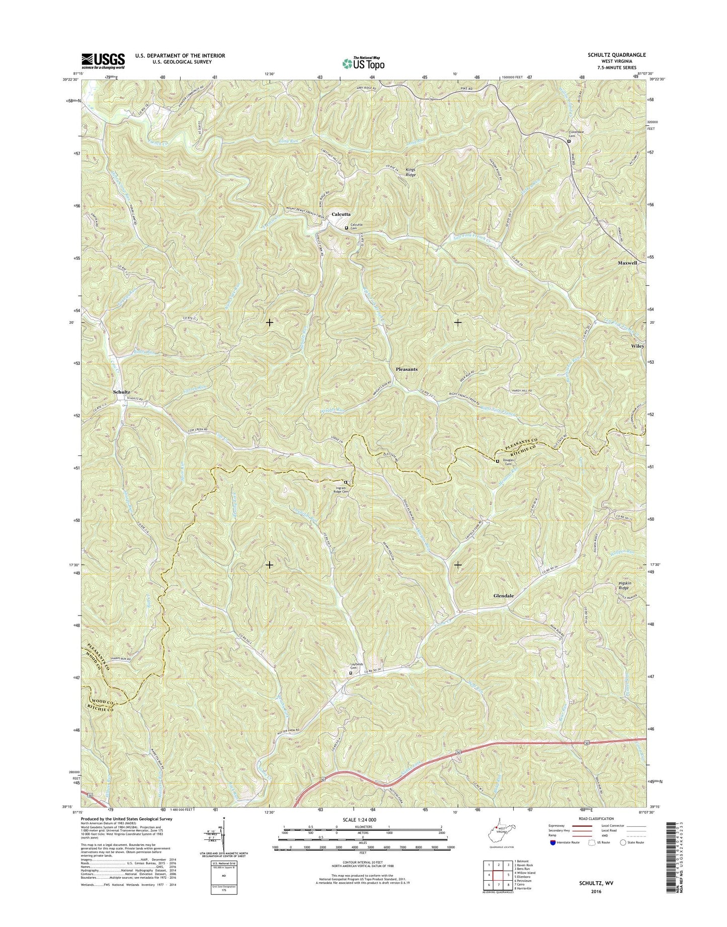
2023 topographic map quadrangle Schultz in the state of West Virginia. Scale: 1:24000. Based on the newly updated USGS 7.5' US Topo map series, this map is in the following counties: Pleasants, Ritchie, Wood. The map contains contour data, water features, and other items you are used to seeing on USGS maps, but also has updated roads and other features. This is the next generation of topographic maps. Printed on high-quality waterproof paper with UV fade-resistant inks.
Quads adjacent to this one:
West: Willow Island
Northwest: Belmont
North: Raven Rock
Northeast: Bens Run
East: Ellenboro
Southeast: Harrisville
South: Cairo
Southwest: Petroleum
This map covers the same area as the classic USGS quad with code o39081c2.
Contains the following named places: Alum Cave Run, Bear Run Church, Bills Family Cemetery, Brushy Fork, Brushy Peak School, Buck Run, Bukey Run, Burntcabin Run, Calcutta, Calcutta School, Calcutta United Methodist Church, Camp Run School, Carney Run, Center Valley School, Cloverdale, Cloverdale Cemetery, Cloverdale Church, Combs, District B, Douglas Cemetery, Douglas Run, Drum Chapel, Earleys Run, Glendale, Glendale Church, Glenwood School, Henry Camp, Henry Camp Run, Henry Camp School, Ingram Church, Ingram Ridge Cemetery, Ingram School, Kings Ridge, Layfields Cemetery, Layfields Run, Left Fork French Creek, Lone Valley, Lone Valley School, Long Run, Maxwell, Meadow Run, Meadow Run School, Mount Dewey School, Mount Zion Church, Nutter Form School, Pleasants, Pleasants County, Poynette, Right Fork French Creek, Schultz, Schultz Run, Schultz Run School, Sharps Run, Spice Run, Spice Run School, Star School, Turkey Run, Wiley, Wolf Run, Wrights Run, ZIP Code: 26170


