MyTopo
Brothertown Wisconsin US Topo Map
Couldn't load pickup availability
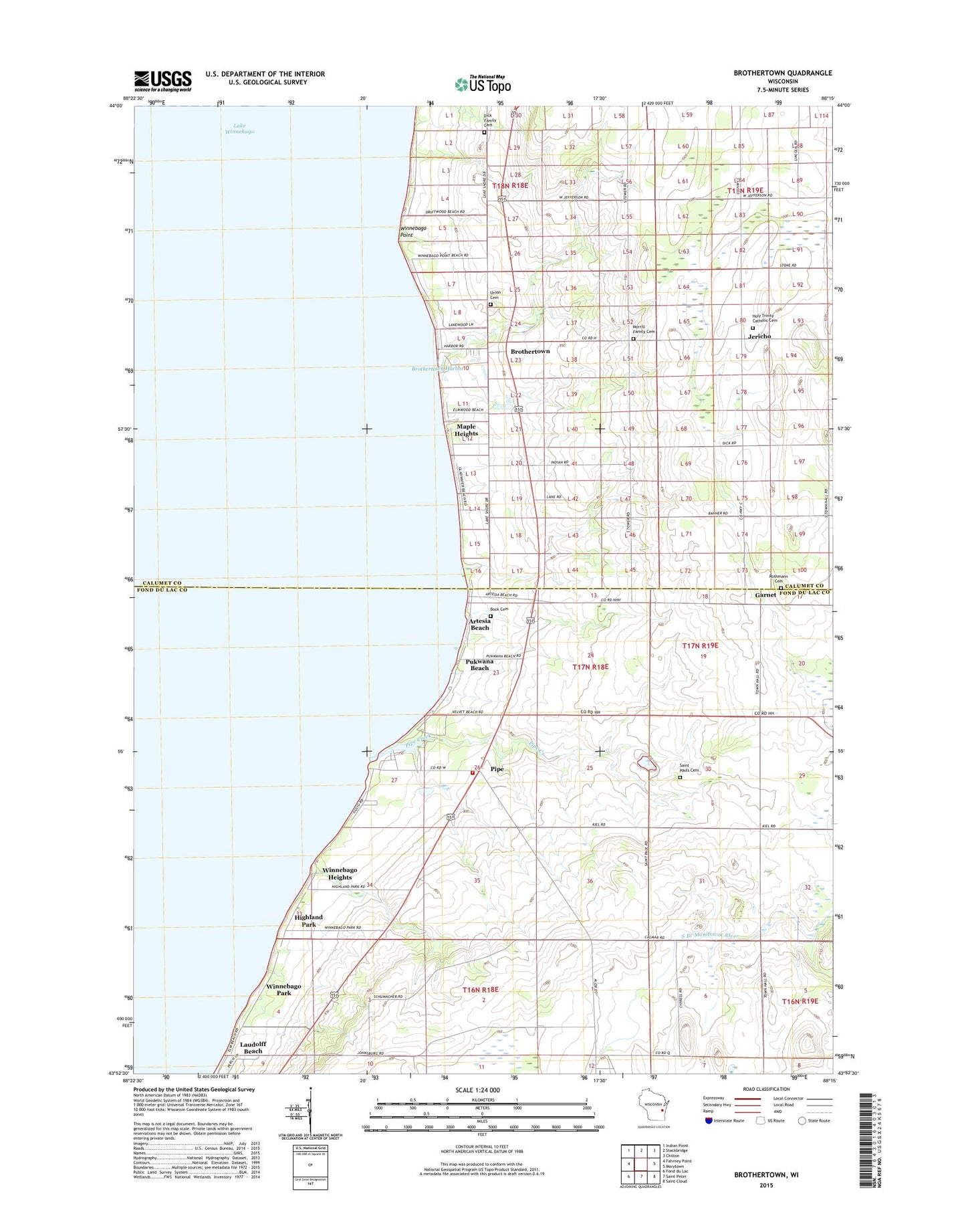
2018 topographic map quadrangle Brothertown in the state of Wisconsin. Scale: 1:24000. Based on the newly updated USGS 7.5' US Topo map series, this map is in the following counties: Fond du Lac, Calumet. The map contains contour data, water features, and other items you are used to seeing on USGS maps, but also has updated roads and other features. This is the next generation of topographic maps. Printed on high-quality waterproof paper with UV fade-resistant inks.
Quads adjacent to this one:
West: Fahrney Point
Northwest: Indian Point
North: Stockbridge
Northeast: Chilton
East: Marytown
Southeast: Saint Cloud
South: Saint Peter
Southwest: Fond du Lac
Contains the following named places: Artesia Beach, Bock Cemetery, Brothertown, Brothertown Census Designated Place, Brothertown Harbor, Calumet Harbor, Calumet School, Calumet Volunteer Fire Department, Calumetville, Camp Shaginappi, Columbia Park, Dick Family Cemetery, Garnet, Heritage Orchard, Highland Park, Holy Trinity Catholic Church, Holy Trinity Cemetery, Jericho, Johnsburg, Laudolff Beach, Maple Heights, Morrill Family Cemetery, Pipe, Pipe Creek, Pukwana Beach, Rothmann Cemetery, Saint John the Baptist Catholic Church, Saint Pauls Cemetery, Saint Pauls Church, Town of Brothertown, Town of Calumet, Union Cemetery, Winnebago Heights, Winnebago Park, Winnebago Point, ZIP Code: 53049