MyTopo
Enterprise Wisconsin US Topo Map
Couldn't load pickup availability
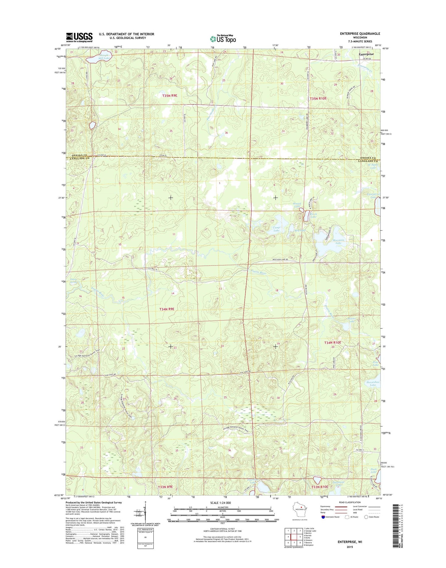
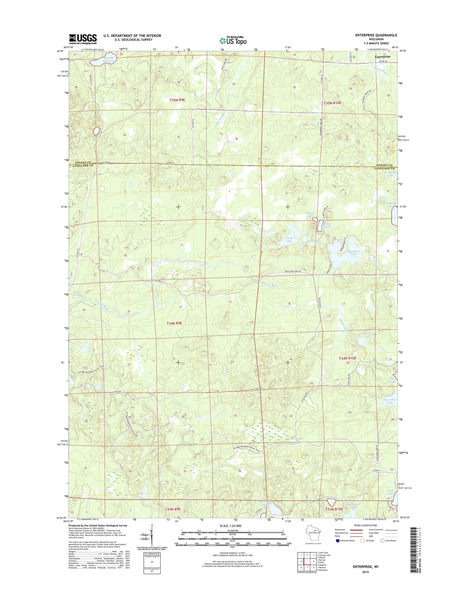
2018 topographic map quadrangle Enterprise in the state of Wisconsin. Scale: 1:24000. Based on the newly updated USGS 7.5' US Topo map series, this map is in the following counties: Langlade, Oneida. The map contains contour data, water features, and other items you are used to seeing on USGS maps, but also has updated roads and other features. This is the next generation of topographic maps. Printed on high-quality waterproof paper with UV fade-resistant inks.
Quads adjacent to this one:
West: Parrish
Northwest: Lake Julia
North: George Lake
Northeast: Monico
East: Elcho
Southeast: Kempster
South: Bavaria
Southwest: Gleason
Contains the following named places: Basswood Lookout Tower, Bog Lake, Camp Lake, Enterprise, Horseshoe Lake, Minito Lake, Moccasin Lake, Monito Lake State Natural Area, One Island Lake, Payne Spring, Perch Lake, Round Lake, Shingle Mill Lake, Town of Parrish, Townline Lake, West Apple Lake