MyTopo
Gleason Wisconsin US Topo Map
Couldn't load pickup availability
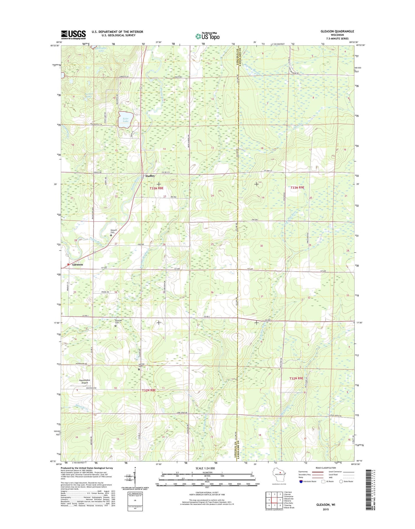
2022 topographic map quadrangle Gleason in the state of Wisconsin. Scale: 1:24000. Based on the newly updated USGS 7.5' US Topo map series, this map is in the following counties: Lincoln, Langlade. The map contains contour data, water features, and other items you are used to seeing on USGS maps, but also has updated roads and other features. This is the next generation of topographic maps. Printed on high-quality waterproof paper with UV fade-resistant inks.
Quads adjacent to this one:
West: Bloomville
Northwest: Harrison
North: Parrish
Northeast: Enterprise
East: Bavaria
Southeast: Black Brook
South: Doering
Southwest: Pine Dells
This map covers the same area as the classic USGS quad with code o45089c4.
Contains the following named places: Burlock Lake, Dudley, Echo Lake, Estonian Cemetery, Estonian Church, Gleason, Gleason Cemetery, Gleason Post Office, Good Luck School, Haymeadow Airport, Janes Spur School, Latvian Cemetery, Lettish Church, Midway Elementary School, Russell Fire Department, Silver Creek, Town of Russell, ZIP Code: 54435