MyTopo
Hay Creek Flowage Wisconsin US Topo Map
Couldn't load pickup availability
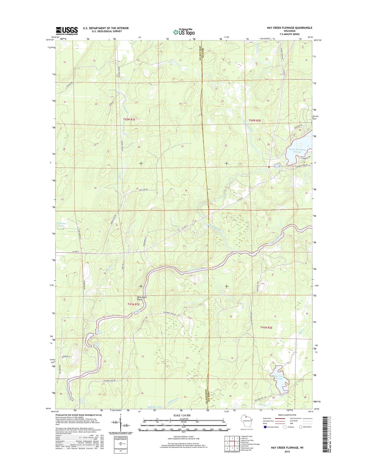
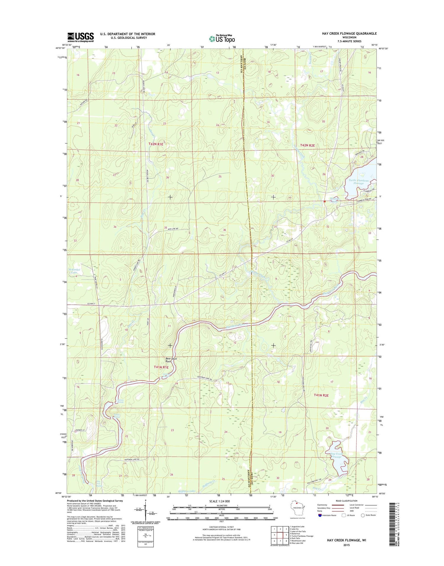
2018 topographic map quadrangle Hay Creek Flowage in the state of Wisconsin. Scale: 1:24000. Based on the newly updated USGS 7.5' US Topo map series, this map is in the following counties: Ashland, Iron. The map contains contour data, water features, and other items you are used to seeing on USGS maps, but also has updated roads and other features. This is the next generation of topographic maps. Printed on high-quality waterproof paper with UV fade-resistant inks.
Quads adjacent to this one:
West: Butternut
Northwest: Augustine Lake
North: Lake Six
Northeast: Lake of the Falls
East: Turtle-Flambeau Flowage
Southeast: Pike Lake NW
South: Blockhouse Lake
Southwest: Park Falls
Contains the following named places: Bear Skull Rock, Deer Creek, Hay Creek D12.185 Dam, Hay Creek Flowage, Holts Landing, McKaskel Lake, Mercer Fire Department Station 2, Minnow Lake, Petes Landing, Pine Tree Rapids, Quinns Rapids, Simmons Rapids, Stubbs Rapids, Swamp Creek