MyTopo
Highland West Wisconsin US Topo Map
Couldn't load pickup availability
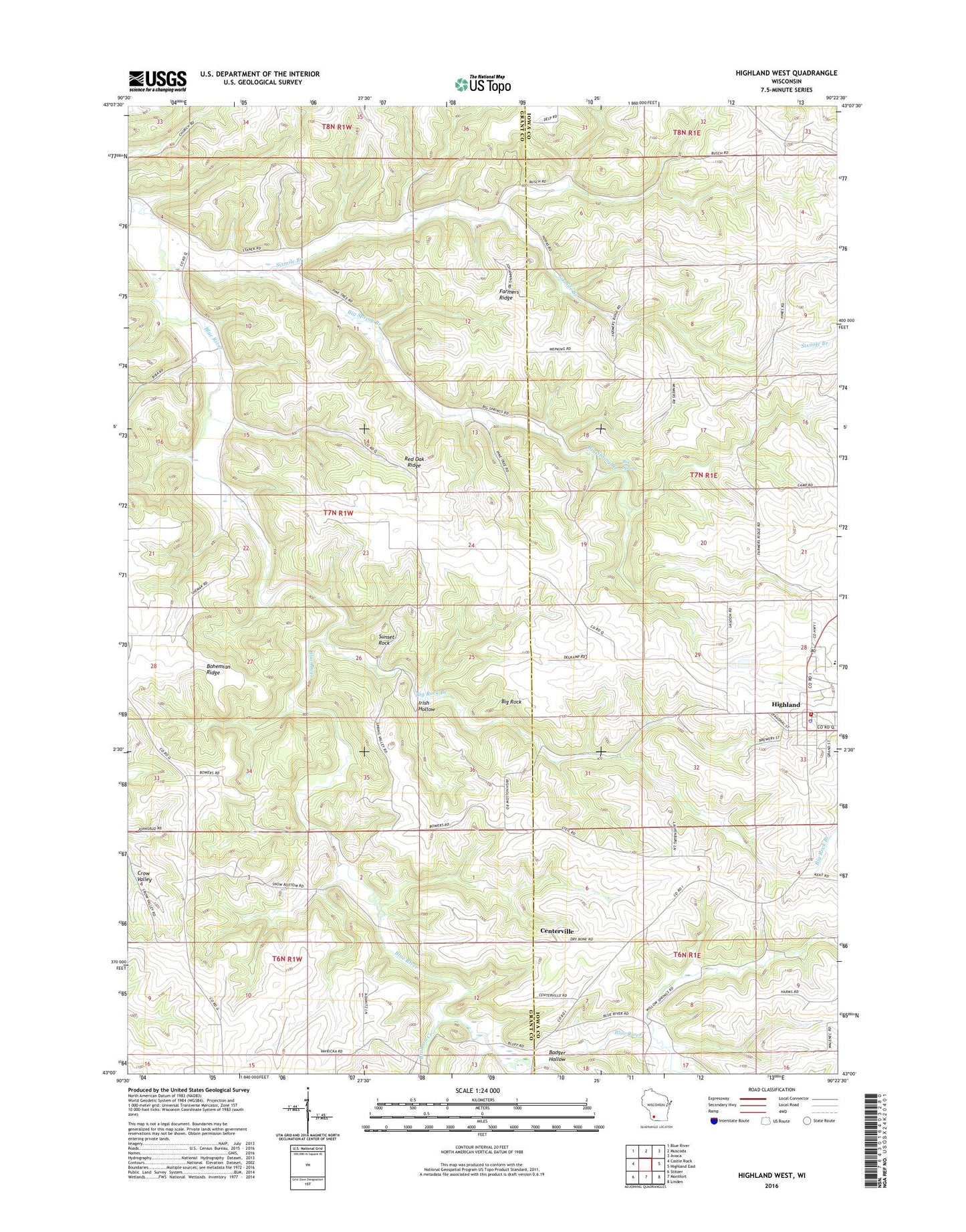
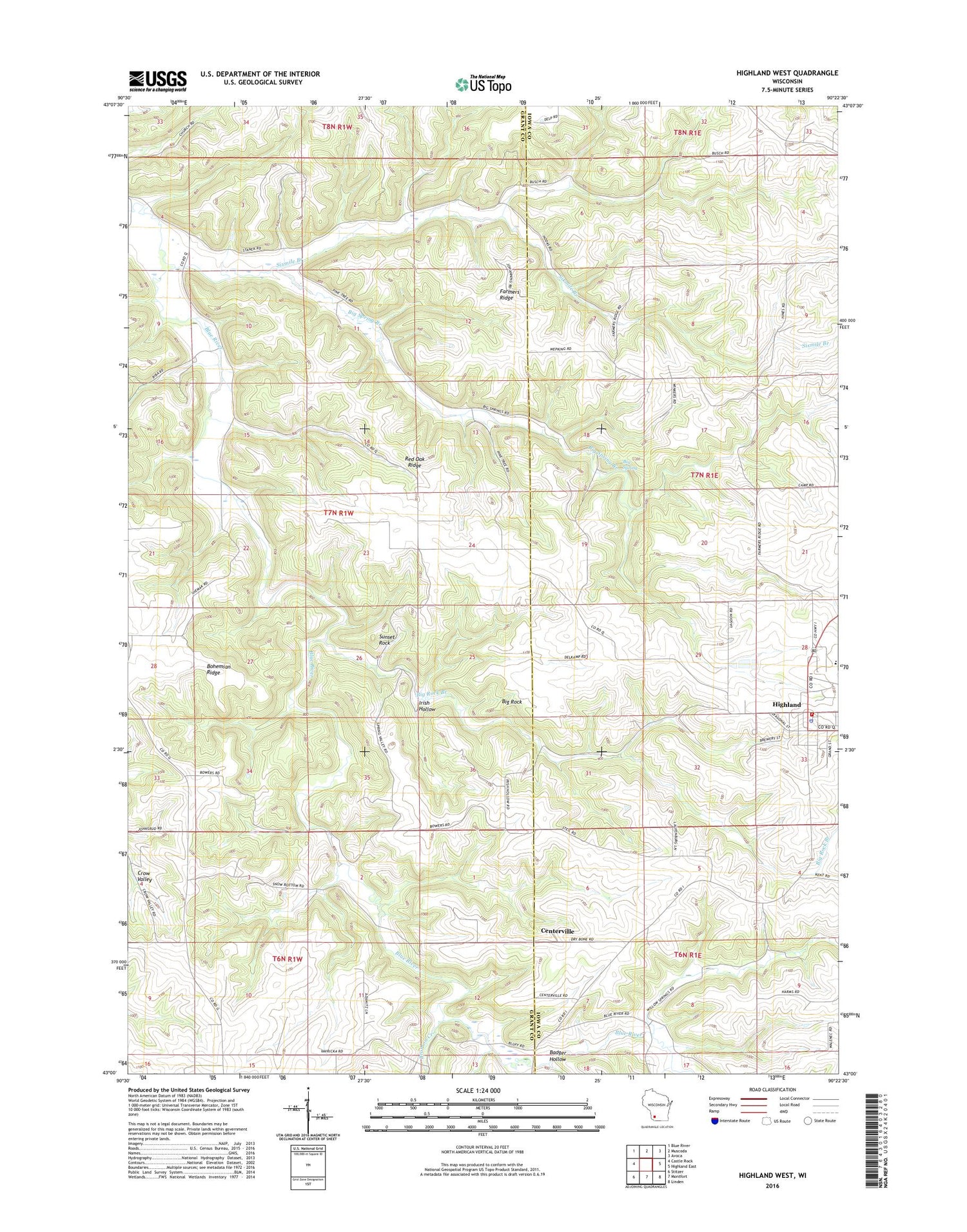
2018 topographic map quadrangle Highland West in the state of Wisconsin. Scale: 1:24000. Based on the newly updated USGS 7.5' US Topo map series, this map is in the following counties: Grant, Iowa. The map contains contour data, water features, and other items you are used to seeing on USGS maps, but also has updated roads and other features. This is the next generation of topographic maps. Printed on high-quality waterproof paper with UV fade-resistant inks.
Quads adjacent to this one:
West: Castle Rock
Northwest: Blue River
North: Muscoda
Northeast: Avoca
East: Highland East
Southeast: Linden
South: Montfort
Southwest: Stitzer
Contains the following named places: Badger Hollow, Badger Hollow Creek, Big Rock, Big Rock Branch, Big Spring, Big Spring Branch, Blue River Mill School, Blue River Valley Church, Bohemian Ridge, Brick School, Bronson Creek, Centerville, Farmers Ridge, Farmers Ridge School, Highland, Highland Ambulance Service, Highland Elementary School, Highland High School, Highland Police Department, Highland Post Office, Highland Volunteer Fire Department, Highland Wastewater Treatment Facility, Irish Hollow, Pipal Cemetery, Red Oak Ridge, Red Oak School, Saint Johns Church, Sixmile Branch, Sunset Rock, Town of Castle Rock, Village of Highland