
MyTopo
Hogarty Wisconsin US Topo Map
Couldn't load pickup availability
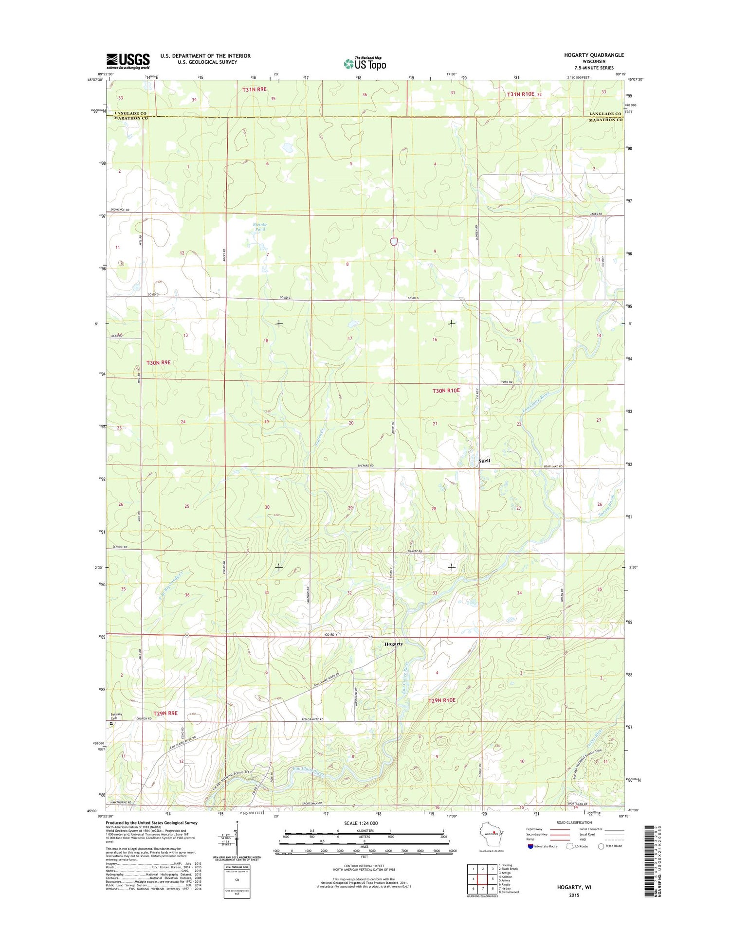
2018 topographic map quadrangle Hogarty in the state of Wisconsin. Scale: 1:24000. Based on the newly updated USGS 7.5' US Topo map series, this map is in the following counties: Marathon, Langlade. The map contains contour data, water features, and other items you are used to seeing on USGS maps, but also has updated roads and other features. This is the next generation of topographic maps. Printed on high-quality waterproof paper with UV fade-resistant inks.
Quads adjacent to this one:
West: Kalinke
Northwest: Doering
North: Black Brook
Northeast: Antigo
East: Aniwa
Southeast: Birnamwood
South: Hatley
Southwest: Ringle
Contains the following named places: Aniwa Lookout Tower, Bethany Cemetery, Bethany Church, Dells of the Eau Claire Park, Dells of the Eau Claire River State Natural Area, Fallows School, Harrison Townhall, Hogarty, Johnson, Nudell School, Plover River State Fishery Area, Skulen Creek, Snell, Spring Brook, Steinke Pond, Town of Harrison, Vogl Dells Dam, ZIP Code: 54408


