MyTopo
Black Brook Wisconsin US Topo Map
Couldn't load pickup availability
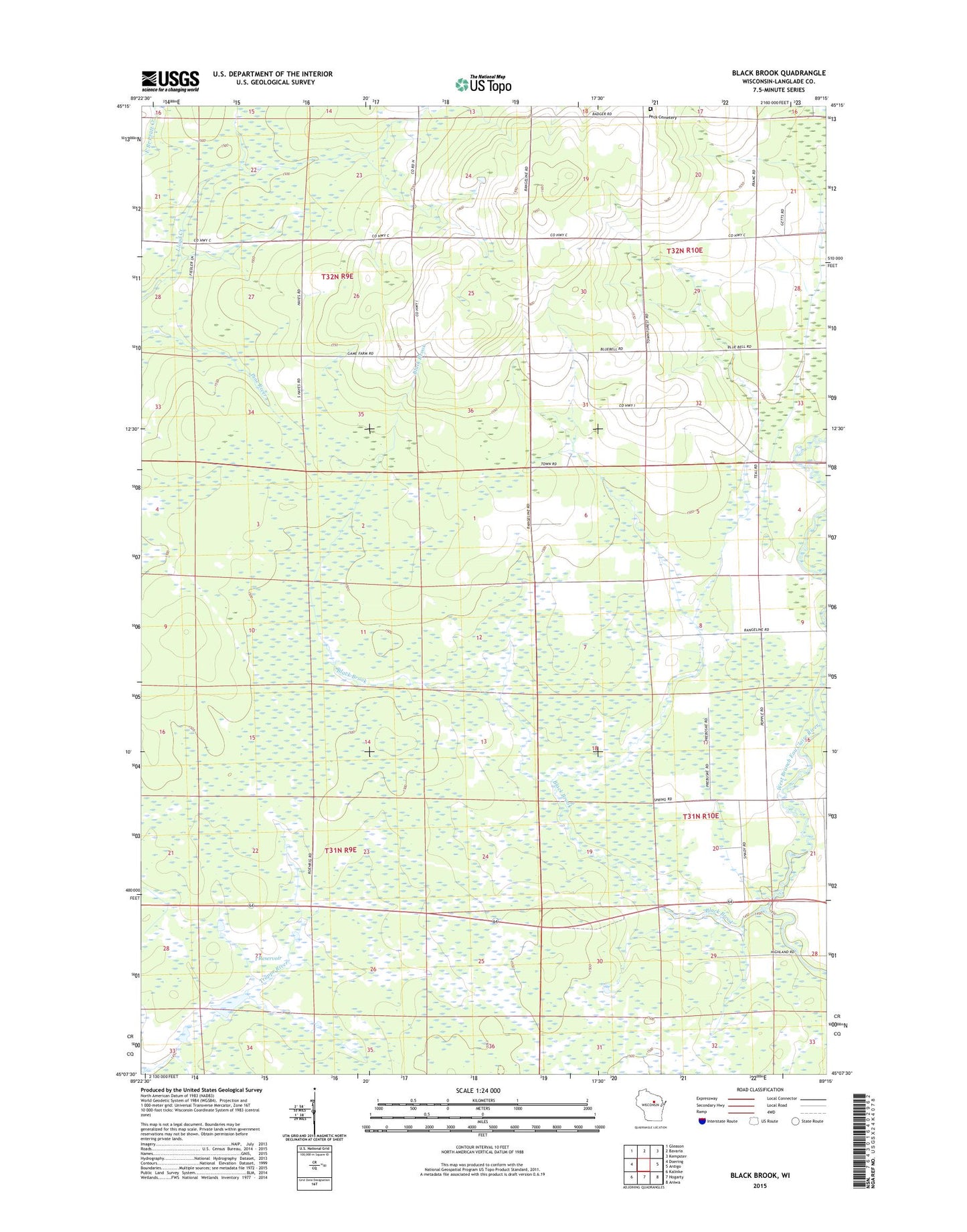
2022 topographic map quadrangle Black Brook in the state of Wisconsin. Scale: 1:24000. Based on the newly updated USGS 7.5' US Topo map series, this map is in the following counties: Langlade. The map contains contour data, water features, and other items you are used to seeing on USGS maps, but also has updated roads and other features. This is the next generation of topographic maps. Printed on high-quality waterproof paper with UV fade-resistant inks.
Quads adjacent to this one:
West: Doering
Northwest: Gleason
North: Bavaria
Northeast: Kempster
East: Antigo
Southeast: Aniwa
South: Hogarty
Southwest: Kalinke
This map covers the same area as the classic USGS quad with code o45089b3.
Contains the following named places: 1 Reservoir, Badger School, Black Brook, Bluebell School, Elmwood School, Langlade County Flowage T1063 G12 684 Dam, Langlade County Flowage T1063 G12 685 Dam, Motl 2 G12 121 Dam, Motl 3 G12 121 Dam, Peck Cemetery, Town of Ackley, Town of Vilas, Vilas Lookout Tower, Vilas Townhall